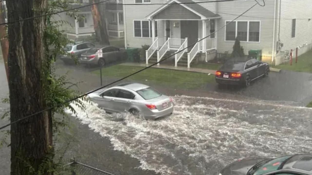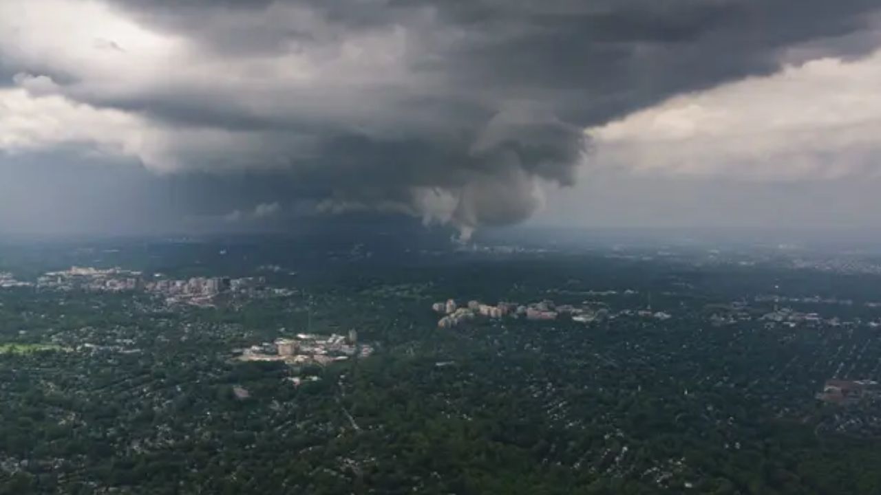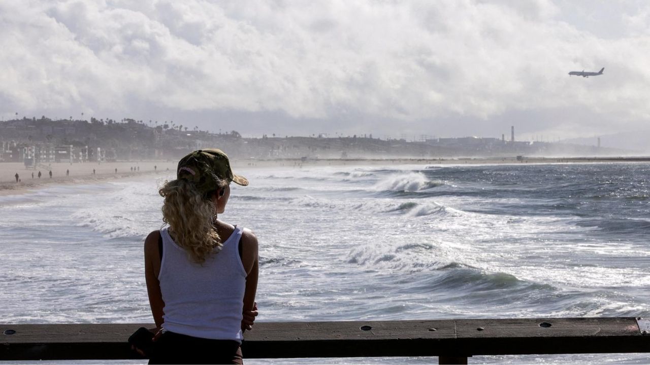
Santiago, Chile — Climate scientists are warning that a very strong El Niño could bring widespread extreme weather across South America in the coming months, raising concerns about flooding, drought, heat waves and major disruptions to agriculture and infrastructure.
The climate pattern has already officially formed in the Pacific Ocean, and forecasters now believe there is a significant possibility it could intensify into a “Super El Niño” during the second half of 2026.
According to international climate agencies, the event has the potential to become one of the strongest recorded in recent decades, increasing the likelihood of severe weather across several countries.
Scientists Say Conditions Favor a Very Strong El Niño
The U.S. National Oceanic and Atmospheric Administration (NOAA) and the World Meteorological Organization (WMO) have confirmed that ocean-atmosphere coupling associated with El Niño is now established.
Forecast models indicate a 63% chance that the event will reach very strong or extreme intensity between November and January.
Climate experts explain that a Super El Niño occurs when sea surface temperatures in the tropical Pacific rise by more than 2 degrees Celsius above average, dramatically strengthening its influence on global weather patterns.
According to climate researcher Fabiola Barrenechea, stronger ocean warming produces larger atmospheric changes, increasing the probability of severe weather impacts in many regions.
Past Super El Niño Events Caused Widespread Damage
Scientists note that only four Super El Niño events have been recorded since modern observations began.
One of the most significant occurred during 2015–2016, when torrential rainfall triggered devastating floods across parts of Argentina, Paraguay, Uruguay and southern Brazil, forcing more than 150,000 people from their homes and causing extensive agricultural damage.
At the same time, northern parts of South America experienced severe drought conditions that reduced reservoir levels in Colombia and Venezuela, while northeastern Brazil and portions of the Amazon dealt with widespread wildfires.
Peru also experienced unusually warm coastal waters that disrupted marine ecosystems and affected its fishing industry as anchovies migrated toward colder waters.
Chile Preparing for Increased Rainfall and Flood Risks
Chile is among the countries closely monitoring the developing climate pattern.
Experts warn that a very strong El Niño could bring up to 60% more rainfall than normal in some areas, increasing the risk of river flooding, flash floods and landslides, particularly in mountainous regions.
Cristián Martínez-Villalobos, a professor at Adolfo Ibáñez University, said El Niño generally increases the probability of above-average rainfall across much of Chile.
However, he emphasized that the climate phenomenon changes the odds of wetter conditions rather than guaranteeing heavy rainfall, as local weather still depends on several additional atmospheric factors.
Global Temperatures Could Also Rise
Scientists say the effects of a Super El Niño extend far beyond South America.
Combined with ongoing global warming, the climate pattern could contribute to higher average global temperatures, more frequent heat waves and additional weather extremes across parts of the Southern Hemisphere.
Climate researcher Martín Jacques explained that El Niño is one of the world’s most influential climate patterns because it affects atmospheric circulation well beyond the tropical Pacific, influencing weather conditions across multiple continents.
While forecasters continue to monitor ocean temperatures in the Pacific, experts say governments, farmers and emergency management agencies should prepare for the possibility of significant weather disruptions in the months ahead.
What are your thoughts on the growing threat of a Super El Niño? Do you think communities are prepared for more frequent extreme weather events? Share your thoughts respectfully in the comments below.