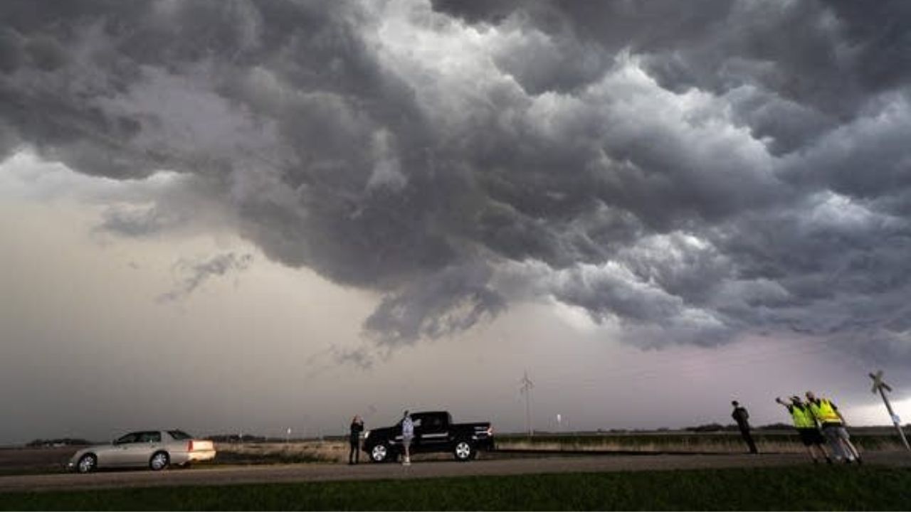
Des Moines, Iowa — Millions of Americans are under the threat of severe weather as a powerful storm system moves from the Plains toward the Ohio Valley and the Appalachians through the weekend.
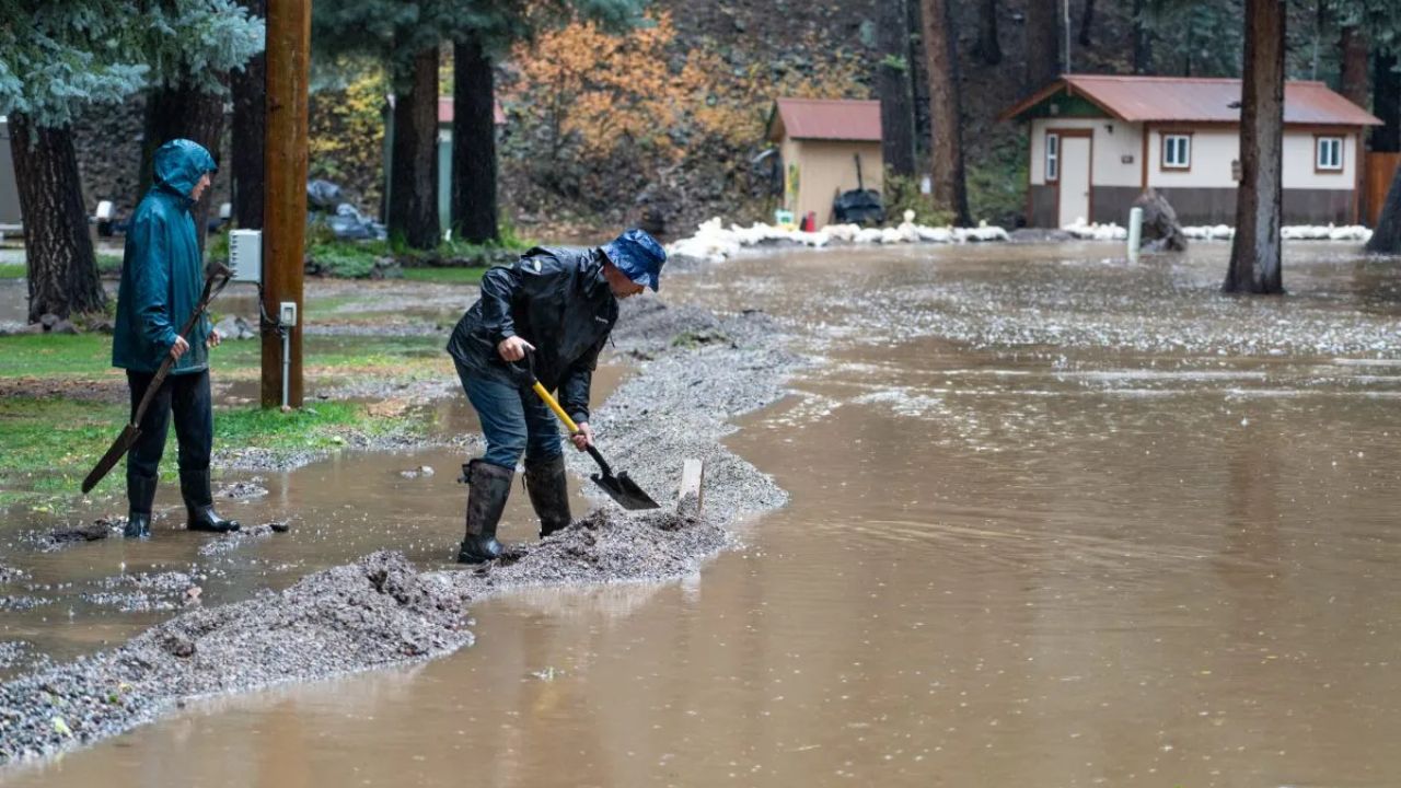
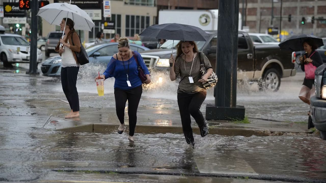
Forecasters warn that damaging wind gusts, torrential rainfall, flash flooding, large hail, and a few tornadoes could accompany the strongest thunderstorms over the next three days.
The active weather pattern follows a week of severe storms across parts of the country and is expected to impact dozens of communities before gradually weakening late Sunday.
Friday’s Storms Expected Across the Mississippi Valley
The first round of severe weather is forecast to develop Friday into Friday night as the storm system tracks southeast across northern Iowa and Illinois.
Forecasters say the greatest risk extends from southeastern Iowa through eastern Oklahoma, southern Arkansas, and western Mississippi.
Communities expected to face the highest threat include:
- Tulsa, Oklahoma
- Little Rock, Arkansas
- Memphis, Tennessee
- St. Louis, Springfield, and Columbia, Missouri
The strongest storms may produce damaging straight-line winds, large hail, intense rainfall capable of causing flash flooding, and isolated tornadoes.
Residents in these areas are encouraged to closely monitor weather conditions throughout the day and evening.
Severe Weather Threat Shifts East on Saturday
As the storm system continues eastward, the focus for severe thunderstorms will move into the Ohio Valley and Tennessee Valley on Saturday and Saturday night.
The highest-risk zone stretches from southeastern Indiana and southwestern Ohio southward into central Mississippi and Alabama.
Cities that could experience severe storms include:
- Louisville and Lexington, Kentucky
- Nashville and Knoxville, Tennessee
- Cincinnati, Ohio
- Tupelo, Mississippi
- Birmingham, Alabama
Forecasters expect damaging winds and heavy downpours to remain the primary hazards, although a few storms could still produce hail or isolated tornadoes where atmospheric conditions become more favorable.
Storm Risk Reaches the Appalachians on Sunday
By Sunday, the storm system is expected to weaken somewhat, reducing the overall threat for widespread severe weather.
However, strong to severe thunderstorms remain possible from West Virginia southward into northern Georgia.
Even with less favorable atmospheric conditions, storms will still be capable of producing damaging wind gusts, frequent lightning, and localized flash flooding, particularly in areas that receive repeated rounds of heavy rain.
Residents across the Appalachians should remain alert for rapidly changing weather conditions through the end of the weekend.
High Plains and Gulf Coast Will Also See Isolated Severe Storms
Away from the main storm system, scattered afternoon and evening thunderstorms are expected each day through Sunday across portions of the central and southern High Plains and the Rockies.
Areas including Colorado, western Kansas, eastern New Mexico, and West Texas could see isolated storms capable of producing large hail, powerful wind gusts, and localized flash flooding, despite their limited coverage.
Meanwhile, the Gulf Coast from Louisiana to Florida is expected to experience the usual summertime thunderstorms.
Although these storms are expected to be scattered, some may become severe enough to produce isolated damaging winds, torrential rainfall leading to localized flooding, and dangerous lightning before weakening later in the day.
With severe weather expected to impact multiple regions through Sunday, residents in affected areas should stay informed, have multiple ways to receive weather warnings, and be prepared to seek shelter if severe thunderstorm or tornado warnings are issued.
Is your area included in this weekend’s severe weather threat? Let us know how you’re preparing and share your local conditions in the comments below.