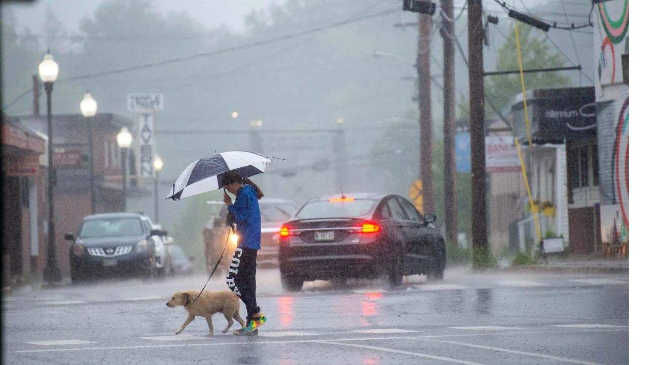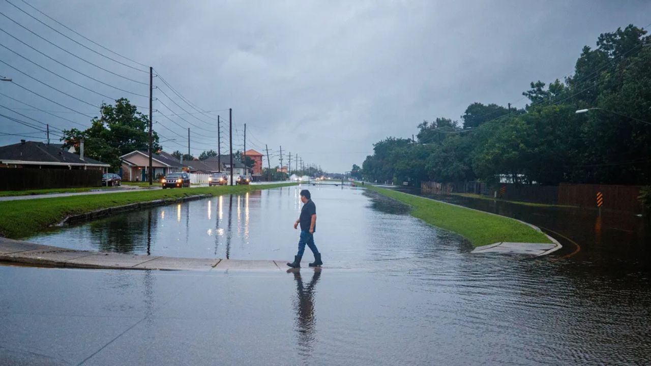
Minneapolis, Minnesota — More than 20 million Americans are facing another round of dangerous weather this week as severe thunderstorms and heavy rainfall threaten parts of the Northern Plains and Upper Midwest, where already saturated ground is raising concerns about flash flooding.
Forecasters say multiple weather disturbances moving through the region, combined with above-average temperatures and abundant Gulf moisture, are expected to fuel repeated rounds of thunderstorms through Wednesday. The combination of slow-moving storms and soaked soil could quickly lead to flooding in vulnerable communities.
Severe Storms Continue After Days of Destructive Weather
The renewed threat comes after several days of active weather across the region.
Overnight Monday into Tuesday, powerful thunderstorms swept across South Dakota, producing wind gusts exceeding 75 mph in several locations.
Earlier this week, severe storms also moved through northern Minnesota, where the National Weather Service’s Storm Prediction Center received at least six preliminary tornado reports.
The severe weather caused significant impacts in several communities. Emergency shelters were opened in Detroit Lakes, Minnesota, to assist residents displaced by storm damage, while cleanup efforts continued in Walworth County, Wisconsin, including the Lake Geneva area, following destructive thunderstorms that struck over the holiday weekend.
These back-to-back storms have left many areas vulnerable as another round of dangerous weather approaches.
Flash Flood Threat Growing Across the Region
Meteorologists say the biggest concern over the next several days is the increasing risk of flash flooding.
Repeated rainfall events throughout the summer have left soils saturated across much of the Upper Midwest, meaning even moderate amounts of additional rain could quickly overwhelm drainage systems and cause rapid runoff.
A stalled weather front stretching from Nebraska through South Dakota into Minnesota and Wisconsin is expected to serve as the primary focus for new thunderstorm development.
The National Weather Service’s Weather Prediction Center has issued a Level 2 out of 4 risk for excessive rainfall and flash flooding across portions of Wisconsin, Iowa, Nebraska and northern Kansas through Wednesday.
Damaging Winds and Isolated Tornadoes Also Possible
In addition to heavy rainfall, forecasters warn that some storms may become severe.
A Level 2 out of 5 severe weather risk remains in place for portions of the Midwest, with damaging wind gusts expected to be the primary hazard.
However, meteorologists also say isolated supercell thunderstorms could develop, particularly across parts of Wisconsin, bringing the possibility of a few tornadoes along with large hail.
Chicago Weather Alert: Near-90° Heat Arrives Before Thunderstorms Make a Comeback on Thursday
The combination of strong atmospheric instability, abundant moisture and favorable upper-level winds will create conditions capable of producing dangerous thunderstorms throughout the day.
Several Cities Could See Heavy Rainfall Through Thursday
Forecast models indicate widespread rainfall totals of 1 to 2 inches across portions of the Upper Midwest by Thursday.
Communities including Minneapolis, Duluth and Marquette, Michigan, could receive locally heavier amounts, with some locations potentially seeing more than 3 inches of rain where storms repeatedly move over the same areas.
Because many of these locations have already recorded above-average rainfall this year, additional heavy rain could quickly trigger flooding of streets, low-lying areas, creeks and rivers.
Residents across the affected region are encouraged to monitor local forecasts, remain alert for flash flood warnings and avoid driving through flooded roadways as conditions can change rapidly during slow-moving thunderstorms.
Are you expecting severe weather where you live this week? What preparations do you make before heavy storms or flash flood threats? Share your thoughts and experiences respectfully in the comments below.