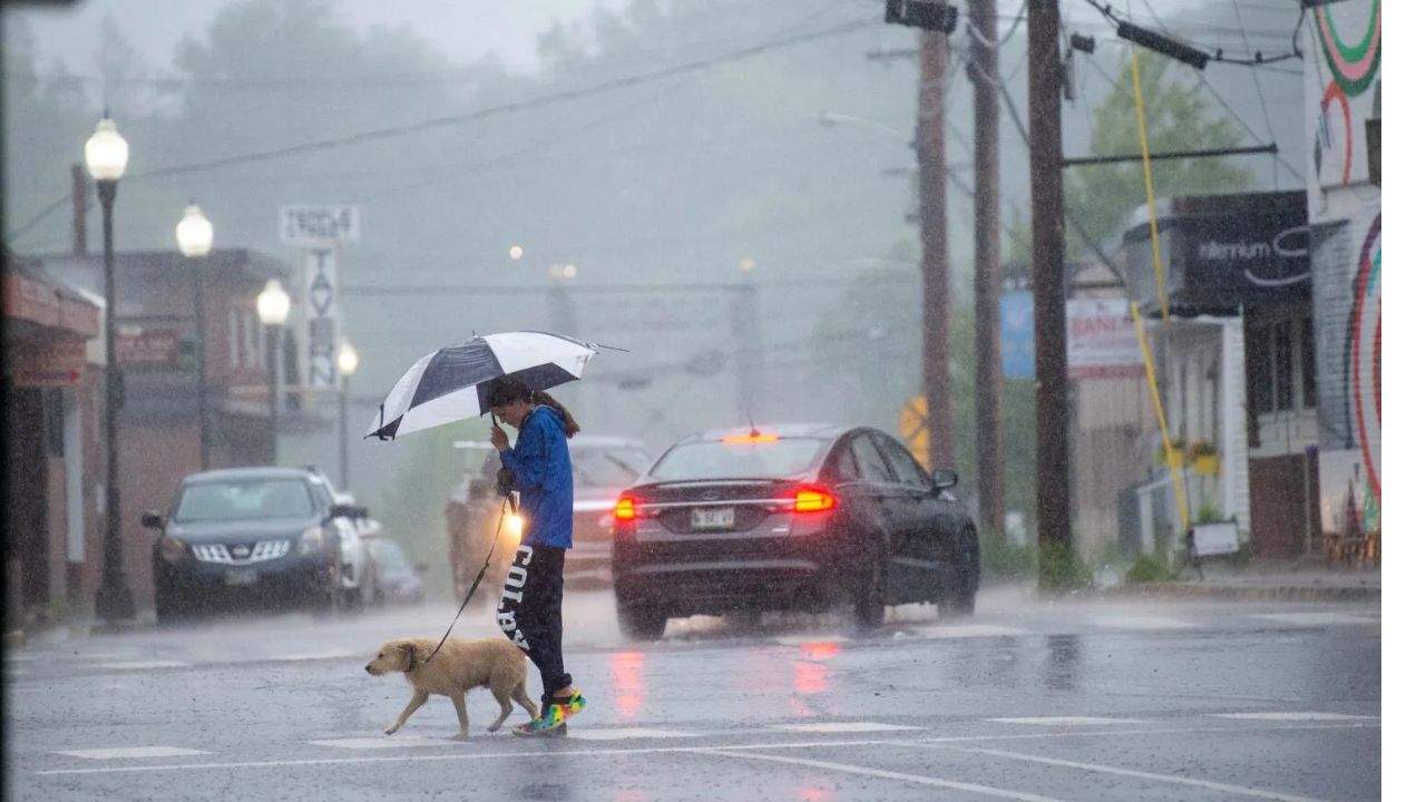
Southeastern United States — Forecasters are closely monitoring a weather system that could increase the threat of heavy rainfall and flash flooding across parts of the Southeast this weekend, with a low chance that it could also develop tropical characteristics near the Gulf Coast.
Although the likelihood of tropical development remains limited, meteorologists say residents across several Gulf Coast and southeastern states should prepare for periods of heavy rain as atmospheric conditions become more favorable for widespread thunderstorms.
Weather Pattern Expected to Shift This Weekend
According to forecasters, the current weather pattern is expected to change late this week as a heat dome over the central and eastern United States begins to weaken.
At the same time, a dip in the jet stream is forecast to settle across the Southeast, creating an environment more supportive of slow-moving thunderstorms capable of producing torrential rainfall.
Moisture flowing northward from both the Gulf of Mexico and the Atlantic Ocean is expected to fuel repeated rounds of showers and thunderstorms across the region.
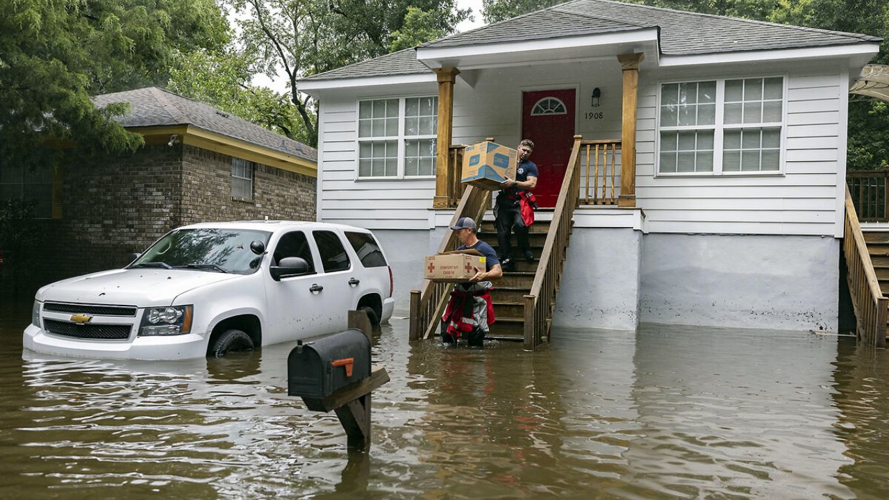
As a result, some communities could experience localized flash flooding, while drought-stricken areas may also receive much-needed rainfall.
Gulf Disturbance Could Take on Tropical Characteristics
Meteorologists are also tracking a developing area of low pressure near or just offshore of the northeastern Gulf Coast.
While forecasters currently believe the chance of tropical development is low, they say the system represents one of the better opportunities for a tropical depression or tropical storm to form in the Atlantic Basin before the end of July.
If the disturbance strengthens enough to become a named storm, it would be called Bertha, following Arthur, which became the first named storm of the 2026 Atlantic hurricane season after briefly strengthening along the Texas coast in June.
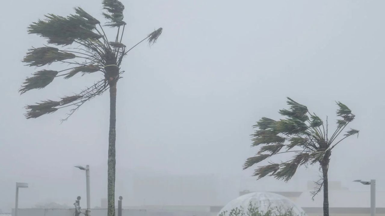
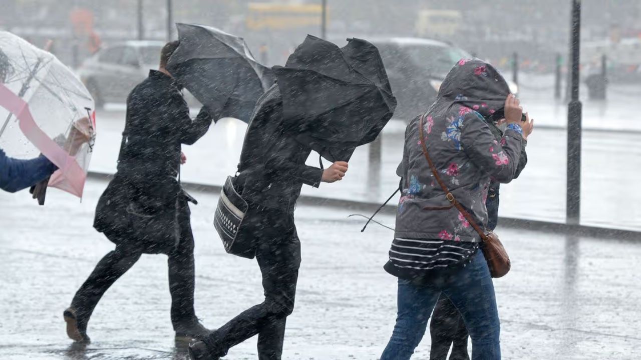
Even if the system never officially develops into a tropical cyclone, forecasters warn that it could still produce heavy rainfall, gusty thunderstorms and localized flooding across portions of the Southeast.
El Niño Could Shape the Rest of Hurricane Season
Meteorologists continue to point to the influence of El Niño, the climate pattern associated with warmer-than-average sea surface temperatures across the tropical Pacific Ocean.
A strengthening El Niño typically increases wind shear over the Atlantic, making it more difficult for tropical systems to organize and intensify during the peak months of hurricane season.
Forecasters expect El Niño to become very strong, and potentially record strong, by the fall, which could reduce the overall number of Atlantic tropical storms and hurricanes compared with historical averages.
Despite that expectation, experts continue to forecast four to seven hurricanes this season, including three to five systems that could directly impact the United States.
One Storm Can Still Have Major Consequences
The season’s first named storm, Arthur, caused relatively minor wind damage after forming along the Texas coast. However, officials believe the storm contributed to four flash flood-related deaths, including one in Mexico and three in the United States.
Meteorologists stress that even during quieter hurricane seasons, a single tropical storm or hurricane can produce life-threatening flooding, destructive winds and significant damage.
Residents along the Gulf Coast and throughout the Southeast are encouraged to monitor updated forecasts over the coming days as weather conditions evolve and the potential for heavy rainfall increases.
Do you live along the Gulf Coast or in the Southeast? Are you preparing for this weekend’s heavy rain and possible tropical development? Share how your community is getting ready in the comments below.