Brownsville, Texas — Tropical moisture is expected to fuel rounds of heavy rain and thunderstorms across parts of Texas before expanding into much of the Southeast this weekend, increasing the threat of flash flooding, hazardous travel conditions and localized flooding in low-lying communities.
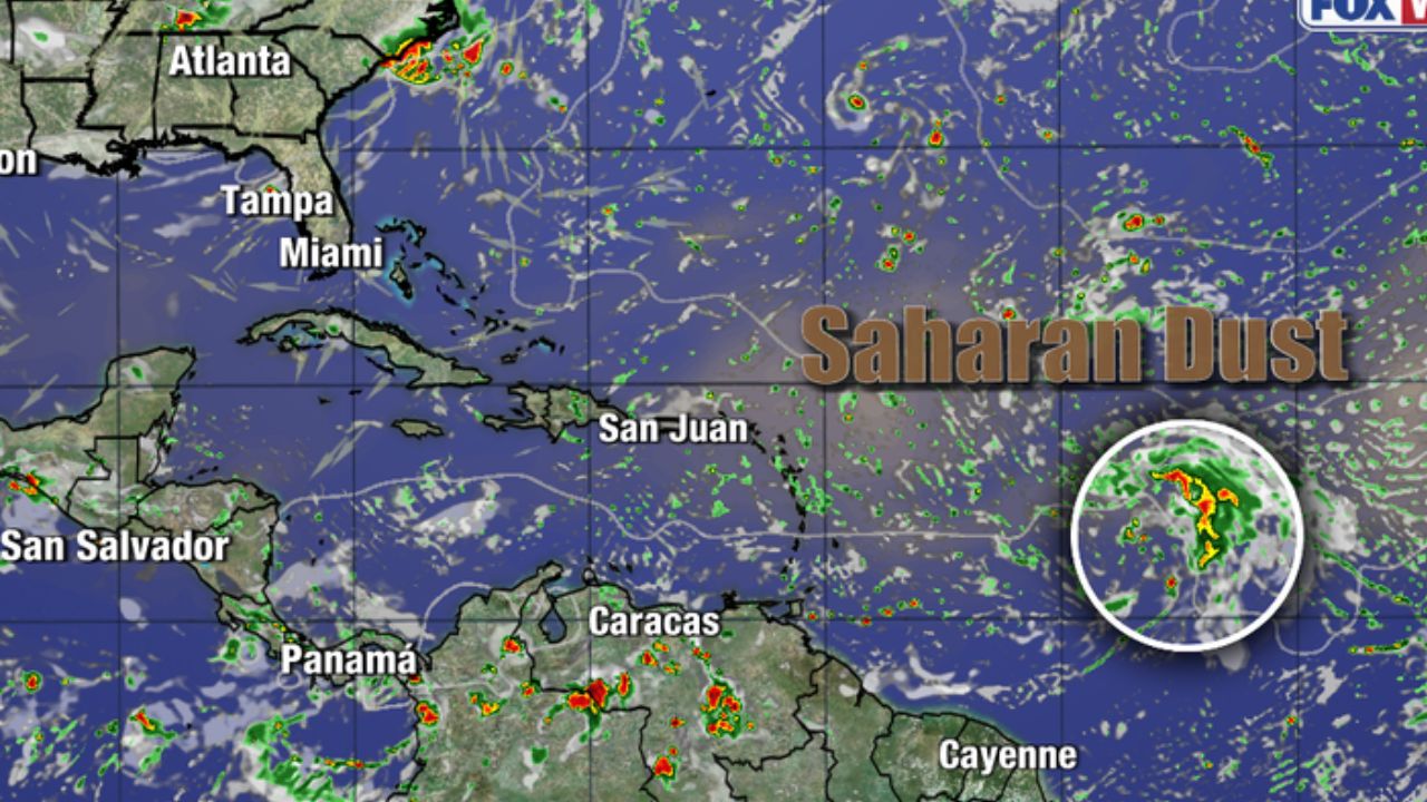
Although the Atlantic hurricane season has remained relatively quiet, forecasters say tropical moisture alone can produce dangerous weather, with South Texas expected to experience the first round of significant rainfall beginning late this week.
Tropical Downpours Expected to Move Into South Texas
Meteorologists say a cluster of thunderstorms developing over the Gulf of America is forecast to move inland across South Texas Thursday evening.
While the system is not expected to strengthen into a tropical storm before reaching land, it is expected to carry abundant tropical moisture capable of producing torrential rainfall and gusty thunderstorms.
Communities from Brownsville to Corpus Christi could experience the greatest impacts as repeated downpours move through the region.
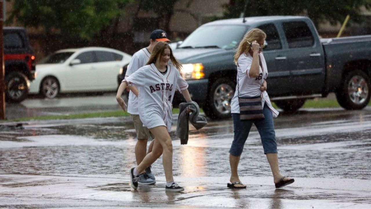
Forecasters warn that the strongest storms may produce rainfall rates of 1 to 2 inches per hour, which could quickly overwhelm storm drains and lead to flash flooding, particularly in low-lying neighborhoods and areas with poor drainage.
Flood Threat Expands Across the Southeast
As the weather system weakens over Texas this weekend, the tropical moisture is expected to spread eastward, combining with a stalled frontal boundary stretching across the southern United States.
This setup is forecast to bring multiple rounds of showers and thunderstorms along portions of the Interstate 10 and Interstate 20 corridors, affecting areas from central and northeastern Texas through Louisiana, Mississippi, Alabama, northern Florida and the Carolinas.
Forecasters say the combination of tropical moisture and slow-moving storms could result in repeated rainfall over the same locations, increasing the likelihood of urban flooding, flooded roadways and rising water in low-lying areas.
“The combination of the frontal zone and tropical moisture from the Gulf will combine forces to unleash rounds of downpours and thunderstorms from central and northeastern Texas to northern Florida and the Carolinas,” forecasters said.
New Orleans Among Areas Facing Flood Concerns
New Orleans is one of several cities being closely monitored as the wet weather pattern develops.
Meteorologists warn that repeated heavy rainfall could overwhelm the city’s pumping system, especially if thunderstorms repeatedly move across the same neighborhoods over several days.
Residents living near streams, bayous and other flood-prone locations are encouraged to stay alert as water levels can rise quickly during prolonged periods of heavy rain.
Officials also caution that road washouts and temporary road closures are possible where the heaviest rainfall occurs.
Rain May Also Bring Some Drought Relief
While the increased rainfall raises concerns about flooding, it may also provide much-needed moisture to drought-stricken areas.
Parts of northeastern Texas, Arkansas, the Florida Panhandle and portions of the Carolinas have experienced ongoing drought conditions this summer.
If forecast rainfall amounts materialize, some communities could see improvements in soil moisture and water supplies, although localized flooding remains the primary concern.
Residents across the affected regions are encouraged to monitor updated forecasts over the coming days and avoid driving through flooded roadways if heavy rain develops.
Are you expecting heavy rain where you live this weekend? How are you preparing for possible flooding or severe weather? Share your thoughts and experiences in the comments below.