Philadelphia, Pennsylvania — Residents across the Philadelphia region are facing a sharp turn in the weather Thursday, with heavy rain, flash flooding, gusty winds and potentially severe thunderstorms expected to develop during the afternoon.
Wednesday will remain relatively comfortable before humidity begins increasing through the evening. Clouds will also gradually move into the region ahead of the incoming storm system.
By Thursday, however, the weather picture will become much more unsettled.
Storms are expected to begin moving into the area shortly after noon, with conditions becoming increasingly intense by the middle of the afternoon.
Heavy Rain Could Trigger Flash Flooding
One of the biggest concerns Thursday will be the amount of rain that could fall in a short period.
Forecast guidance indicates that 2 to 3 inches of rain could fall across portions of the region, with some locations potentially receiving that rainfall quickly enough to overwhelm drainage systems.
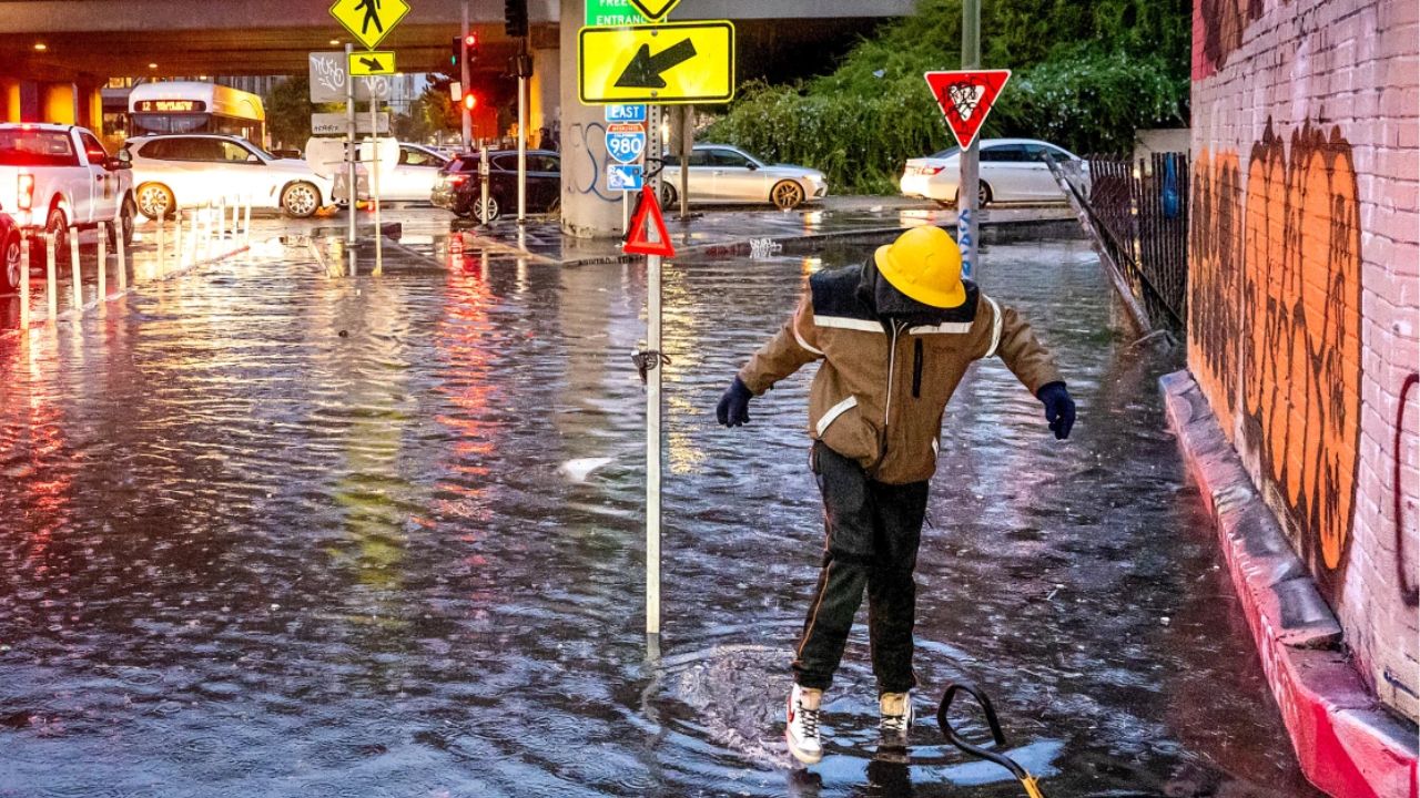
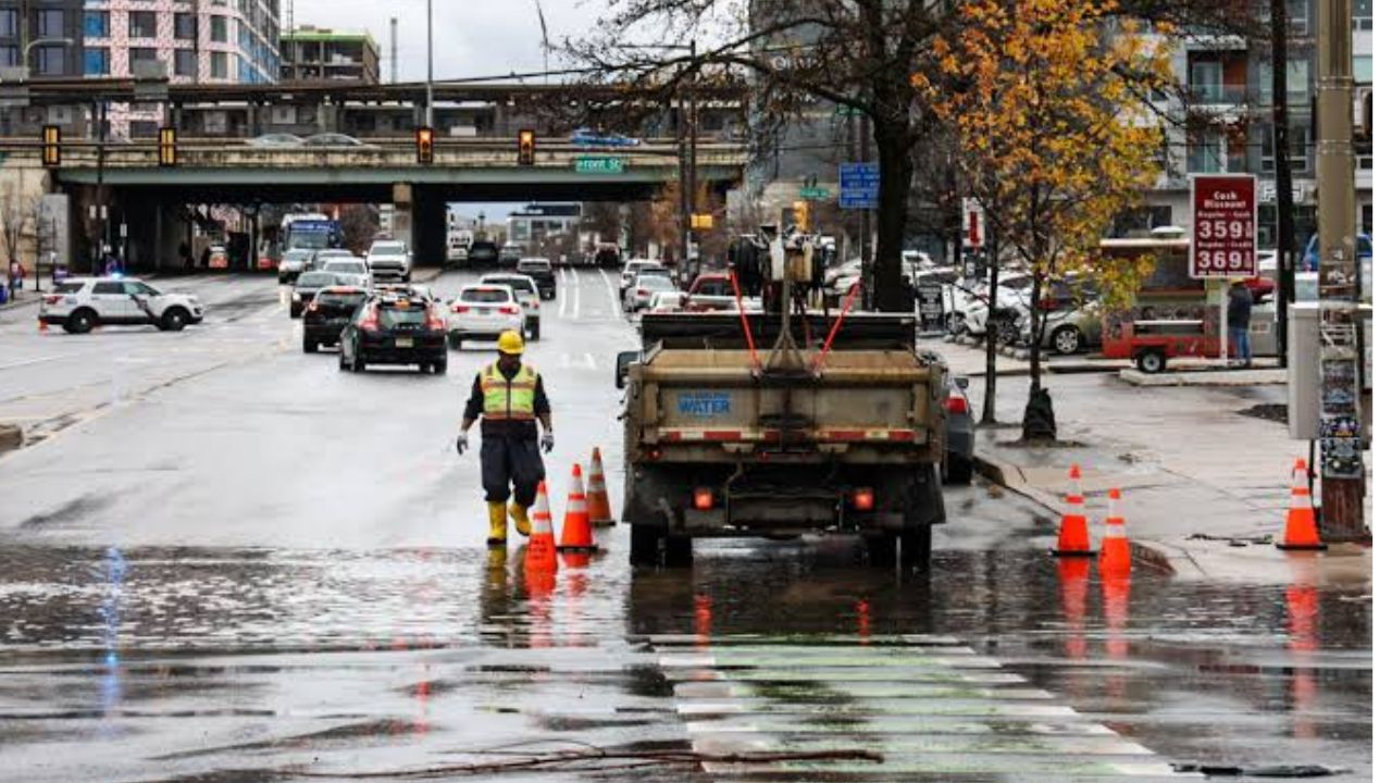
That could result in flash flooding on roads, in low-lying areas and near streams and waterways.
Because of the flooding threat, the entire region is expected to remain under a Flood Watch from noon Thursday through 2 a.m. Friday.
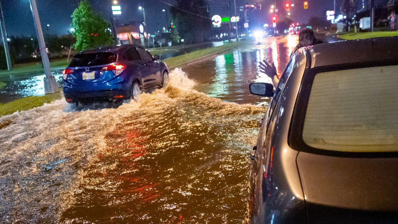
Drivers should be particularly cautious once the storms arrive, as water can accumulate quickly and make roads difficult or dangerous to navigate.
Severe Storms Could Bring Winds Over 60 MPH
Flooding will not be the only weather threat.
Some of Thursday’s strongest thunderstorms could become severe, producing wind gusts of more than 60 mph. Strong winds could bring down tree branches, cause scattered power outages and create hazardous travel conditions.
There is also a 2% chance of tornadoes associated with Thursday’s storms.
While the tornado probability remains relatively low, the combination of strong thunderstorms and an unstable atmosphere means residents should continue monitoring weather alerts as the system approaches.
Storms Expected to Exit by Thursday Night
The most active weather should gradually move away from the Philadelphia region during the evening. Forecasts indicate that Thursday’s storms should exit around 9 p.m., bringing an end to the worst of the severe weather threat.
Temperatures will remain in the lower 80s throughout Thursday, but the combination of warmth and increasing humidity could make conditions feel more uncomfortable before the storms arrive.
Residents should consider completing outdoor activities earlier Thursday and remain prepared to move indoors once thunderstorms begin developing.
Friday Brings a Brief Break
After the stormy conditions Thursday, Friday is expected to be dry and mostly sunny across the region.
Temperatures should climb into the mid-80s, while conditions become noticeably more comfortable compared with Thursday’s humid and stormy weather.
The improvement, however, may not last through the entire weekend.
More Showers and Storms Return This Weekend
Another round of unsettled weather is expected Saturday and Sunday.
The weekend will not necessarily be a complete washout, but residents should expect periods of showers and thunderstorms throughout both days.
Temperatures are forecast to remain in the lower 80s, keeping the weekend relatively mild despite the recurring storm threat. Looking farther ahead, conditions are expected to improve significantly.
Sunshine Returns Monday and Tuesday
The start of next week is currently shaping up to be much calmer.
Monday and Tuesday are expected to bring sunshine, low humidity and temperatures in the lower 80s, offering a welcome break after several rounds of storms.
For Philadelphia-area residents, the key weather concern remains Thursday, when heavy rainfall, flooding and strong thunderstorms could create dangerous conditions within a relatively short period.
How are you preparing for Thursday’s storm threat? Share your thoughts and weather plans in the comments below.