Atlanta, Georgia — Millions of people across the Southeast could see their weekend plans disrupted as a surge of tropical moisture is expected to bring rounds of heavy rain, thunderstorms, and gusty winds from Florida into parts of Georgia and the Carolinas. Forecasters say the unsettled weather will increase the risk of localized flooding, although the system is not expected to develop into a tropical storm.
Tropical Moisture to Fuel Widespread Weekend Storms
According to forecasters, a weak area of disturbed weather moving toward the Southeast will draw deep tropical moisture into the region beginning Friday and continuing through the weekend.
The added moisture is expected to significantly increase thunderstorm activity, particularly across Florida, where summertime sea breeze storms are already common.
Meteorologists say the combination of tropical humidity and daytime heating will lead to more widespread and longer-lasting thunderstorms than typically seen during early August.
Florida, Georgia and Carolinas in the Bullseye
The heaviest rainfall is expected across central Florida, coastal Georgia, and South Carolina through Saturday.
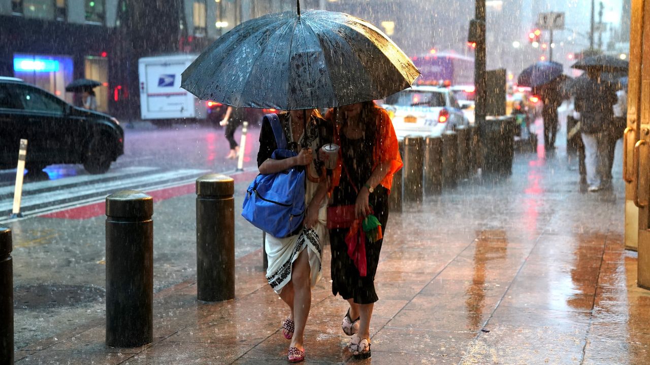
Cities including Orlando, Tampa, Savannah, and Charleston are expected to experience periods of tropical downpours, frequent lightning, and locally gusty winds.
Forecasters say wind gusts between 40 and 50 mph could accompany stronger thunderstorms, potentially causing isolated tree damage and making travel difficult during periods of heavy rain.
Residents and visitors are encouraged to monitor local forecasts before heading outdoors, especially for beach trips, sporting events, or other weekend activities.
Rainfall Totals Could Reach 3 Inches
Forecast models indicate many areas will receive 1 to 2 inches of rainfall, while isolated locations could pick up 2 to 3 inches where thunderstorms repeatedly move over the same communities.
Because of the potential for heavy rainfall in a short period, the Weather Prediction Center has placed portions of the region under a Level 1 of 4 flash flood risk.
Although this represents the lowest flash flood category, it still means localized flooding of streets, low-lying areas, and poor drainage locations is possible, especially in communities that experience repeated thunderstorms.
Drivers should use caution during periods of heavy rain, as water can quickly accumulate on roadways and reduce visibility.
Health Alert Issued for 5 Popular Los Angeles County Beaches as Dangerous Bacteria Levels Rise
Tropical Development Not Expected
Despite the increase in tropical moisture, forecasters stress that the likelihood of tropical cyclone development remains very low.
The system lacks the organization and favorable atmospheric conditions needed to strengthen into a named storm.
Instead, the primary concern will remain heavy rainfall, frequent thunderstorms, and isolated strong wind gusts throughout the weekend.
Meteorologists say the unsettled weather pattern should gradually shift after the weekend, though scattered afternoon storms will likely remain a familiar part of the Southeast’s summer weather.
Residents across the region are encouraged to stay weather-aware, keep an eye on forecast updates, and be prepared to move indoors if thunderstorms approach.
Are you expecting rain where you live this weekend? How are the forecasted storms affecting your outdoor plans? Share your thoughts in the comments below.