Salt Lake City, Utah — Utah is heading into another round of summer heat this week, but the hot and mostly dry pattern won’t last.
A ridge of high pressure is expected to build over the state through Thursday, pushing temperatures higher while keeping most areas relatively dry. By the weekend, however, the pattern will shift as the ridge moves away and monsoon moisture begins flowing back into Utah.
The transition means residents could go from hot, mostly sunny conditions to a much more unsettled weekend featuring showers, thunderstorms and potentially dangerous heavy rainfall.
Temperatures Could Reach the 100s
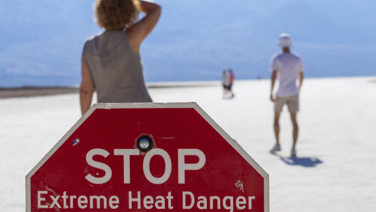
The strongest heat is expected to develop as the high-pressure ridge settles over Utah during the middle of the week.
Across the Wasatch Front, temperatures are forecast to rise into the mid to upper 90s. Southern Utah will experience even hotter conditions, with some locations expected to reach the low to mid 100s.
The high-pressure system will also limit widespread rainfall, resulting in partly sunny skies and mainly dry conditions across much of the state.
A light southwesterly breeze will accompany the warmer pattern. That wind, combined with dry conditions and higher temperatures, could create patchy elevated fire danger, particularly across portions of southern and central Utah.
Residents in areas vulnerable to wildfire conditions should remain cautious with outdoor activities that could accidentally spark a fire.
Monsoon Moisture Returns Friday
The weather pattern begins changing Friday as the upper-level ridge starts shifting away from Utah.
As the ridge moves, monsoonal moisture will flow northward from the south, gradually increasing the amount of moisture available for showers and thunderstorms.
Southern Utah is expected to see the first effects of the returning moisture before the unsettled pattern spreads farther across the state.
By the weekend, rain chances are expected to increase in many locations, marking a significant change from the mostly dry conditions earlier in the week.
Slow-Moving Storms Could Bring Flash Flood Threat
While the return of monsoon moisture could bring welcome rainfall to parts of Utah, thunderstorms may also create significant hazards.
Any storms that develop are expected to be slow-moving, allowing heavy rain to fall over the same areas for longer periods.
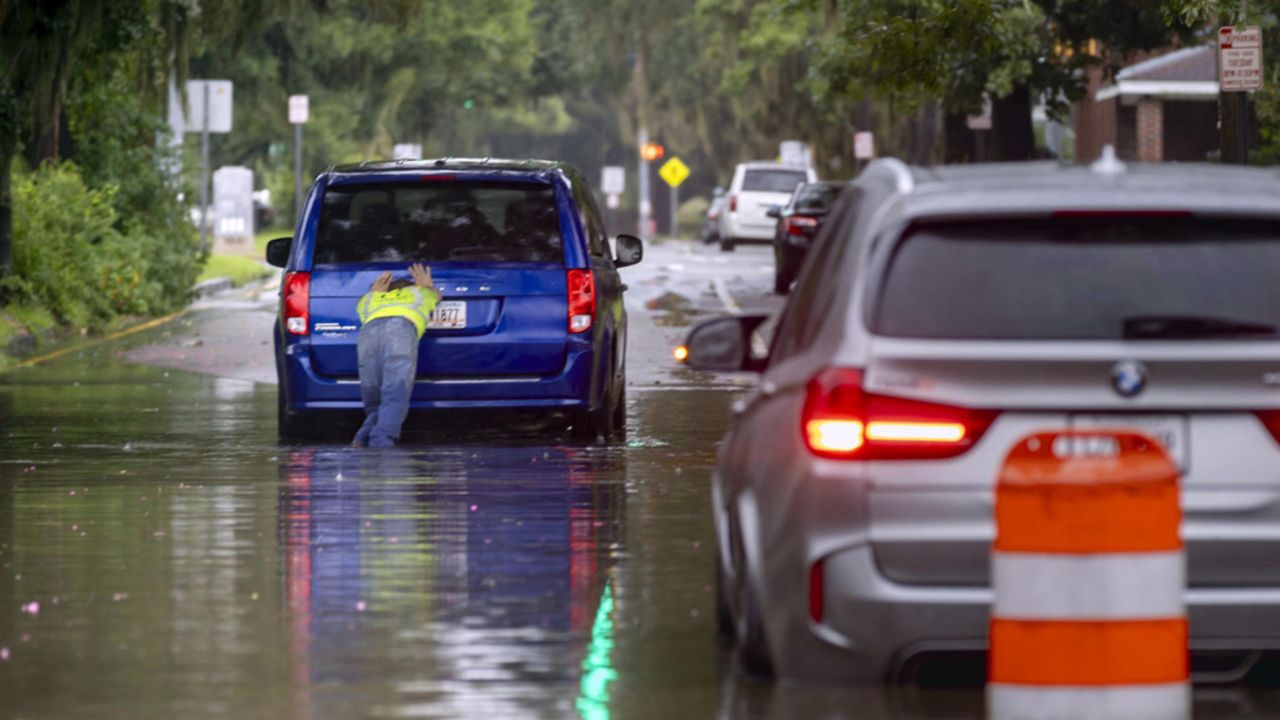
That could lead to localized flash flooding, particularly in areas prone to runoff or where storms develop over narrow drainages and burn scars.
The storms could also produce frequent lightning and intense rainfall, creating additional risks for people spending time outdoors.
Residents and visitors should pay attention to changing skies and weather alerts, particularly when traveling through southern Utah’s mountainous and canyon areas.
Temperatures Fall Back Toward Average
Despite the return of thunderstorms, temperatures are expected to moderate over the weekend.
The additional clouds and moisture should keep daytime temperatures a few degrees below average, providing some relief from the midweek heat.
The cooler temperatures won’t necessarily mean calmer weather, however. More moisture and atmospheric instability could keep the forecast unsettled through the weekend.
Unsettled Pattern Could Continue Through August
The changing weather pattern may not be limited to a single weekend.
Forecasters expect conditions to remain somewhat unsettled through the end of August, with additional fluctuations in moisture, temperatures and thunderstorm chances possible.
For now, Utah residents can expect a classic late-summer pattern: rising heat through Thursday followed by increasing monsoon moisture and storm chances heading into the weekend.
The biggest concerns will shift from elevated fire danger during the dry, windy period to heavy rain, lightning and flash flooding once storms return.
Are you ready for the return of monsoon storms, or would you rather see the hot and dry weather continue? Share your thoughts in the comments below.