Honolulu, Hawaii — Two powerful tropical systems churning across the eastern Pacific are expected to stay well away from land, but forecasters say their effects will still reach parts of the United States. Tropical Storm Fausto and Hurricane Genevieve are generating large ocean swells that are forecast to create dangerous surf, strong rip currents, and possible coastal flooding in Hawaii and Southern California over the coming days.
Tropical Storm Fausto Brings High Surf Threat to Hawaii
Tropical Storm Fausto was located approximately 265 miles northeast of Hilo and 400 miles east of Honolulu, packing maximum sustained winds of around 60 mph while moving west at about 14 mph.
Although the storm is expected to remain north of the Hawaiian Islands, the National Weather Service has urged residents and visitors to closely monitor changing conditions as Fausto passes nearby.
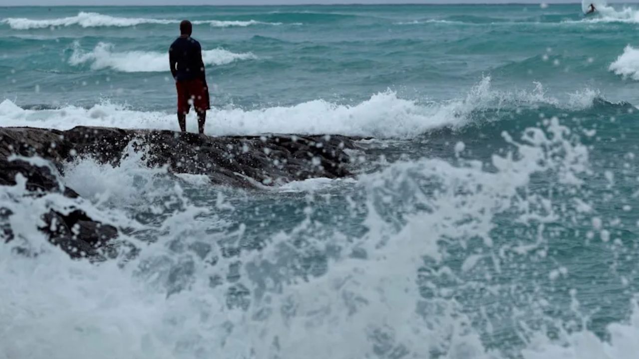
A High Surf Warning remains in effect for east-facing shores through Wednesday. Forecasters expect surf to peak on Tuesday before gradually easing on Wednesday afternoon.
However, beach conditions may deteriorate again by the weekend as another long-period swell generated by Hurricane Genevieve combines with strengthening trade winds.
Meteorologists also noted that Fausto could produce an unusual effect by temporarily reducing trade winds across parts of Hawaii, even as ocean conditions become increasingly hazardous.
Hurricane Genevieve Sends Powerful Swells Toward Southern California
Meanwhile, Hurricane Genevieve, which previously strengthened into a Category 5 hurricane, has weakened but continues producing large swells capable of impacting nearly 1,000 miles of coastline.
On Monday morning, Genevieve remained a Category 3 hurricane with maximum sustained winds of 125 mph. The storm was located about 530 miles southwest of Baja California’s southern tip and was moving west-northwest, a track expected to keep it over open waters while it gradually weakens.
Despite remaining far offshore, forecasters say the hurricane’s swells will begin reaching Southern California beaches on Tuesday, July 29.
Beach Advisories Issued for Dangerous Surf and Rip Currents
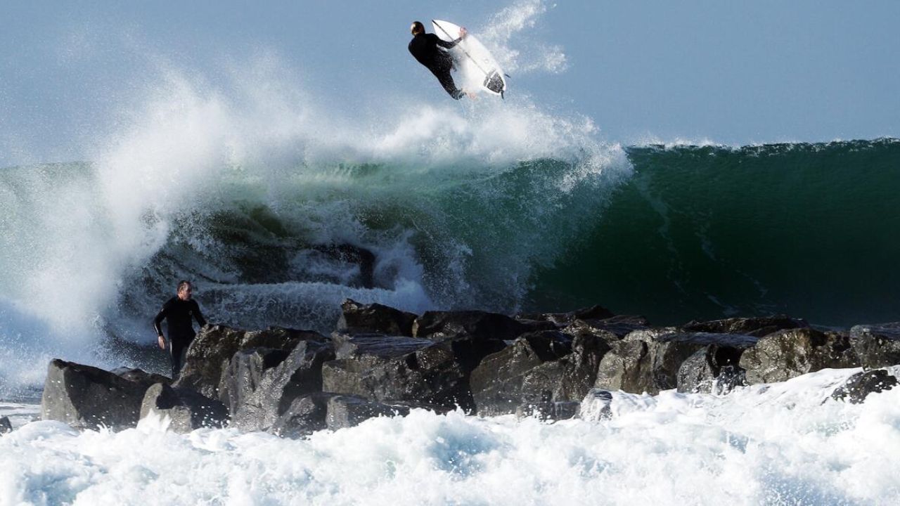
The National Weather Service has already issued High Surf Advisories for portions of Southern California beginning Tuesday evening.
Officials warn that strong rip currents and dangerous longshore currents are expected along beaches stretching from Malibu southward, creating hazardous swimming conditions.
Current forecasts indicate that south-facing beaches north of Oceanside could experience surf between 5 and 9 feet, while other coastal areas may see waves ranging from 3 to 6 feet.
Forecasters caution that wave heights may still change as the storm evolves.
Coastal Flooding Also Possible
In addition to rough surf, higher-than-normal tides associated with the recent full moon could increase the risk of minor coastal flooding in low-lying beach communities.
Areas that typically experience flooding during periods of elevated tides and large surf may see water covering portions of beaches, parking areas, and other shoreline locations.
Genevieve is also sending large swells toward Mexico’s southwestern coastline and the Baja California Peninsula, where weather officials continue monitoring marine conditions.
No New Tropical Development Expected This Week
While attention remains focused on Fausto and Genevieve, the National Hurricane Center says conditions appear relatively quiet elsewhere.
Current forecasts show no additional tropical cyclone development expected in either the Pacific or Atlantic Ocean through at least August 2.
Even without direct landfall, forecasters continue urging residents, surfers, and vacationers in Hawaii and Southern California to follow local beach advisories, avoid dangerous surf conditions, and stay informed as ocean hazards evolve over the next several days.
Are you planning to visit the beach this week? Do you think more people should take high surf and rip current warnings as seriously as hurricane landfall alerts? Share your thoughts in the comments below.