Honolulu, Hawaii — Hawaii is facing a growing tropical threat as Invest 93C churns across the Central Pacific, with forecasters warning that the system could bring major ocean swells and potentially dangerous conditions to the islands later this week.
The broad disturbance is currently located roughly 1,100 miles east-southeast of Hawaii and is expected to become better organized as it moves generally northwestward. While the exact path remains uncertain, forecasters are increasingly focused on the possibility of significant impacts to the Aloha State.
Invest 93C Could Strengthen This Week
Invest 93C is currently a large and somewhat disorganized area of showers and thunderstorms. Forecasters expect environmental conditions to remain favorable enough for the system to organize further.
The system has a high chance of developing during the next seven days, and current forecasts indicate that a tropical depression or tropical storm could form around the middle of this week.
If it reaches tropical-storm strength, the system would receive the name Lala.
However, forecasters caution that the storm’s ultimate strength is still difficult to determine because the circulation is broad and the center has not yet become clearly defined.
Track Could Make a Major Difference for Hawaii
One of the biggest uncertainties involves where the center of circulation ultimately develops.
The location of the center will help determine whether the system passes farther south of Hawaii, approaches the islands more closely or potentially brings direct impacts to parts of the state.
If the center forms toward the eastern side of the thunderstorm activity, the system could track closer to the Hawaiian Islands.
A center that develops farther west within the disturbance could result in a track that keeps the storm farther offshore. That uncertainty means residents and visitors should not focus on a single forecast track yet.
Monster Waves Could Arrive Even Without Landfall
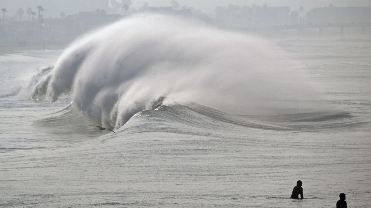
Perhaps the most immediate concern for Hawaii is not necessarily a direct landfall but the large ocean swell generated by the developing system.
Forecasters warn that 16- to 20-foot waves could batter portions of the Hawaiian Islands later this week as the tropical disturbance approaches.
Large swells can create dangerous conditions along beaches, rocky shorelines and coastal areas even when the center of a tropical cyclone remains hundreds of miles away.
Strong currents and powerful breaking waves could also make ocean activities particularly hazardous.
Warm Waters Could Help the System Strengthen
Invest 93C is developing south of Hawaii over warmer ocean waters, an environment capable of supporting tropical development.
Because the system is expected to approach from the southeast, much of its core could remain over warm water as it moves toward the islands.
That raises the possibility that the disturbance could strengthen before reaching its closest point to Hawaii.
Still, its large size and disorganized structure could slow the process of intensification, meaning forecasters will need several more days of observations before its potential strength becomes clearer.
Hawaii Faces Its First Major Tropical Concern in 2026
The potential threat is drawing additional attention because Hawaii has not faced a significant tropical threat of this type since Hurricane Hone in 2024, which passed south of the islands as a hurricane.
The current system does not yet justify assuming that Hawaii will experience a direct hurricane strike. The forecast remains highly uncertain, and conditions can change substantially as the circulation becomes better organized.
But with large waves potentially arriving later this week, officials and residents have a reason to closely monitor updates. Forecasters are also watching other disturbances across the Pacific, although those systems currently pose less concern for land.
Residents Urged to Monitor the Forecast
For now, the biggest message from forecasters is uncertainty.
Invest 93C could remain offshore and produce mainly large swells and rough seas, or its track could bring the system significantly closer to Hawaii.
The next few days should provide a much clearer picture as the circulation consolidates and forecast models gain a better understanding of its movement.
Anyone planning beach trips, boating, surfing or other ocean activities later this week should pay close attention to updated forecasts and local advisories.
Do you think Hawaii should be preparing for Tropical Storm Lala now, or is it still too early to tell? Share your thoughts in the comments below.