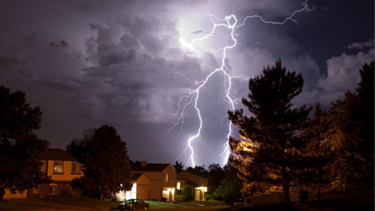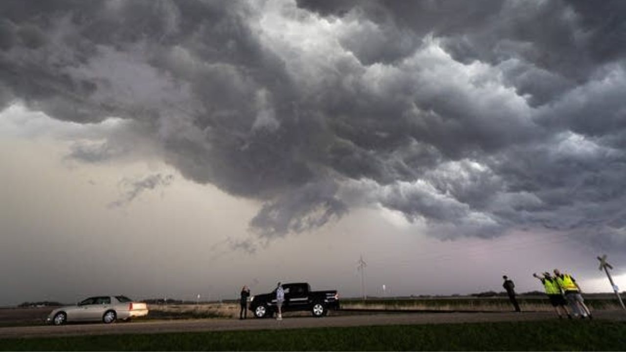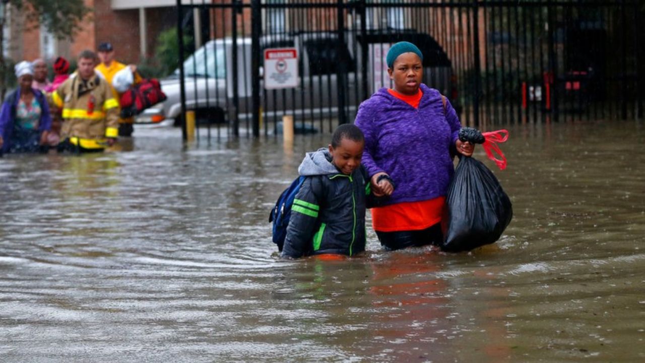
St. Bernard Parish, Louisiana — Tropical Storm Bertha made landfall in southeastern Louisiana on Wednesday afternoon, bringing gusty winds, rough surf and bands of heavy rain to the Gulf Coast. However, forecasters say the storm’s most significant impact may unfold hundreds of miles away, where its tropical moisture is expected to increase the risk of dangerous flooding across parts of the East Coast through the end of the week.
According to the National Hurricane Center, Bertha came ashore in St. Bernard Parish at around 3 p.m. ET with maximum sustained winds of 45 mph. At the time of landfall, the storm was located southwest of New Orleans and continued moving west across southern Louisiana.
Bertha Brings Tropical Storm Conditions to the Gulf Coast
Although Bertha officially made landfall, meteorologists say the storm remains poorly organized, with its strongest winds and heaviest rainfall staying mostly offshore.
Still, tropical storm conditions are expected across portions of Louisiana, Mississippi and coastal Texas, where residents could experience gusty winds, periods of heavy rain and hazardous marine conditions over the next couple of days.
A Tropical Storm Warning remains in effect for several Gulf Coast communities, where sustained winds of at least 39 mph are possible.
Officials are also warning beachgoers about dangerous rip currents, rough surf and coastal flooding from the Florida Panhandle westward through Alabama, Mississippi and Louisiana.
Flooding Threat Shifts Toward the East Coast
While Bertha gradually weakens over land, weather experts say the storm’s tropical moisture is expected to combine with a stalled cold front across the Southeast, creating a much more serious flood threat.
Forecasters are especially concerned about southeastern Virginia, North Carolina, parts of South Carolina and northern Georgia, where repeated rounds of heavy rain could continue through Friday.
Some communities could receive 2 to 4 inches of rainfall, while localized areas may see up to 6 inches or more, particularly where thunderstorms repeatedly move over the same locations.
Meteorologists warn that these conditions could quickly lead to flash flooding, especially in low-lying areas, urban communities and locations with poor drainage.
Heavy Rain Already Triggering Flash Flood Warnings
The developing weather pattern has already begun producing heavy rainfall across portions of the Southeast.
On Wednesday morning, flash flood warnings were issued in parts of northeast Tennessee, where some locations received up to 5 inches of rain within just a few hours.
Weather officials say the same storm system responsible for recent flooding from the Ohio Valley into the East Coast remains nearly stationary, allowing additional tropical moisture from Bertha to feed into developing thunderstorms.
Although some of the rainfall will help ease drought conditions in parts of Virginia and the Carolinas, forecasters caution that repeated downpours could quickly overwhelm streams, creeks and drainage systems.
SoCal Heat Wave Returns: Extreme Heat Watch Issued as Temperatures Climb Past 100 Degrees
Storm Expected to Weaken but Rain Threat Continues
Bertha is forecast to continue weakening as it moves westward toward the Texas coast, where it could bring additional showers and gusty winds before eventually dissipating.
Even as the storm loses strength, its moisture will continue fueling thunderstorms across much of the Southeast and Mid-Atlantic through the end of the week.
Forecasters continue to monitor the areas at highest risk, with Level 3 of 4 flood risk alerts remaining in effect along portions of the Virginia–North Carolina border, while a broader Level 2 of 4 risk stretches across much of the Mid-Atlantic, Appalachians and parts of the Southeast.
Residents in flood-prone areas are urged to stay updated on local forecasts, avoid driving through flooded roadways and remain alert for additional weather warnings as conditions evolve.
Are you in an area expecting heavy rain from Tropical Storm Bertha? How are conditions where you live? Share your updates and experiences respectfully in the comments below.