Orlando, Florida — A stormy weekend is taking shape across Florida and the Southeast as tropical moisture pushes into the region, bringing widespread downpours, thunderstorms and a growing risk of localized flooding. Millions of residents and visitors could see outdoor plans disrupted as rounds of heavy rain move across the area.
The wet pattern is already developing along Florida and the Carolinas, with conditions expected to remain unsettled through the weekend.
Tropical Moisture Fuels Widespread Thunderstorms
A large area of tropical moisture is expected to remain just offshore of Florida and the Carolinas, helping fuel repeated rounds of showers and thunderstorms from Friday into Saturday.
While summertime thunderstorms are common across Florida, forecasters say the additional moisture could make this weekend’s storms wetter and more widespread than typical afternoon showers.
The combination of high moisture levels and daily sea-breeze boundaries will provide additional fuel for thunderstorms.
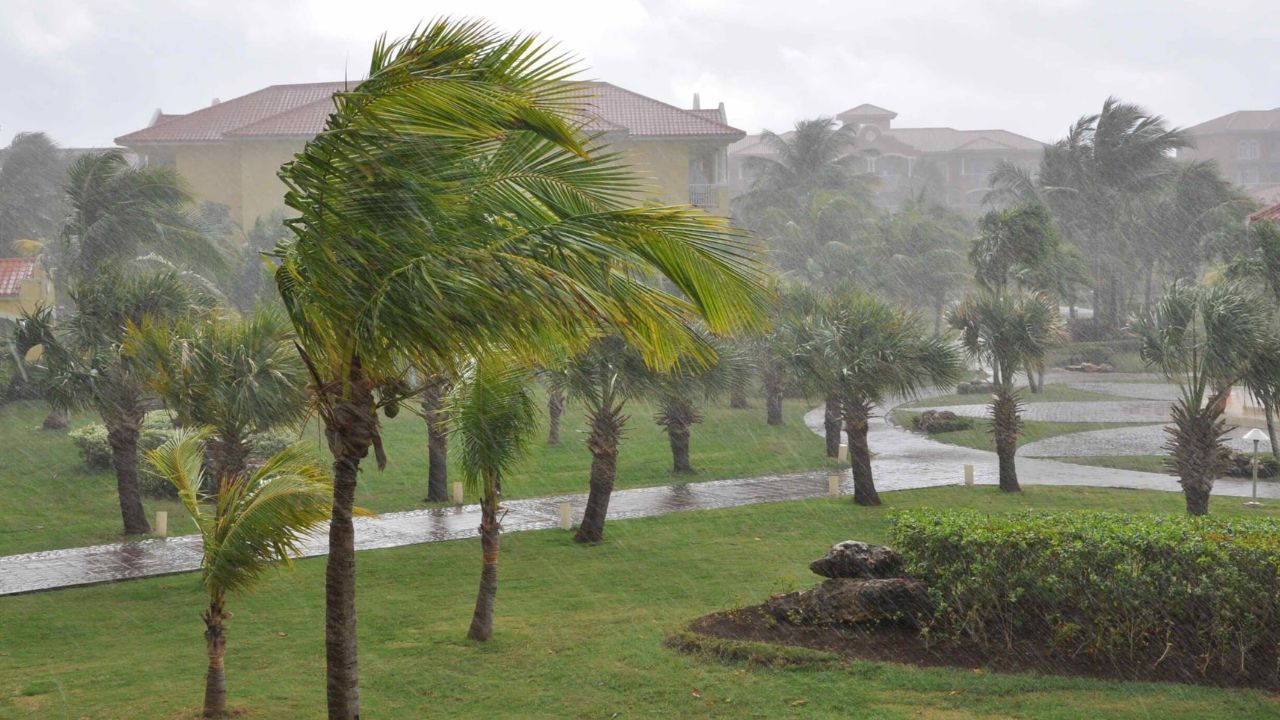
Cities including Orlando and Tampa, along with Savannah, Georgia, and Charleston, South Carolina, are expected to be among the areas most likely to experience heavy tropical downpours.
Strong Storms Could Produce 40–50 MPH Winds
Rain will be the biggest concern, but some of the thunderstorms could also become strong enough to produce wind gusts of 40–50 mph.
The storms are expected to develop and intensify during the afternoon as the sea breeze pushes inland. That means people heading to beaches, parks, outdoor events or other activities across the Southeast could face rapidly changing conditions.
Thunderstorms can also produce frequent lightning, brief heavy rainfall and sudden visibility reductions, making travel more difficult when the strongest cells move through.
Heavy Rain Creates Flash Flood Concern
Forecasters expect widespread rainfall totals of approximately 1–2 inches across parts of central Florida, coastal Georgia and South Carolina through the weekend.
However, rainfall will not necessarily be evenly distributed. Some locations could receive 2–3 inches of rain, particularly where thunderstorms repeatedly move across the same areas.
Because of the potential for locally intense rainfall, a Level 1 out of 4 Flash Flood Risk is in place to begin the weekend.
The relatively low risk level does not mean flooding is impossible. Areas that receive repeated thunderstorms in a short period could still experience ponding on roads, poor drainage flooding and localized water accumulation.
Tropical Development Odds Remain Very Low
Despite the tropical moisture driving the rainfall, forecasters say there is very little chance of actual tropical development. The system is expected to primarily bring moisture and thunderstorms rather than organize into a tropical storm or hurricane.
That distinction could provide some reassurance for residents concerned about the start of the Atlantic hurricane season, although the weekend’s thunderstorms can still become disruptive on a local level.
Rain Could Help Ease Drought Conditions
The weekend’s wet weather may have one significant benefit.
Parts of Florida and southern Georgia have experienced unusually dry conditions since last summer, leaving lingering drought concerns across the region.
The additional rainfall could help replenish soil moisture and provide some relief from those persistent dry conditions.
However, forecasters note that rainfall from individual thunderstorms can vary dramatically from one location to another, meaning some communities could receive substantial rain while nearby areas remain relatively dry.
For residents across the Southeast, the message for the weekend is straightforward: keep an eye on changing skies and be prepared for heavy thunderstorms, particularly during the afternoon and evening hours.
Are you expecting these storms to disrupt your weekend plans? How has the recent weather been in your area? Share your thoughts in the comments below.