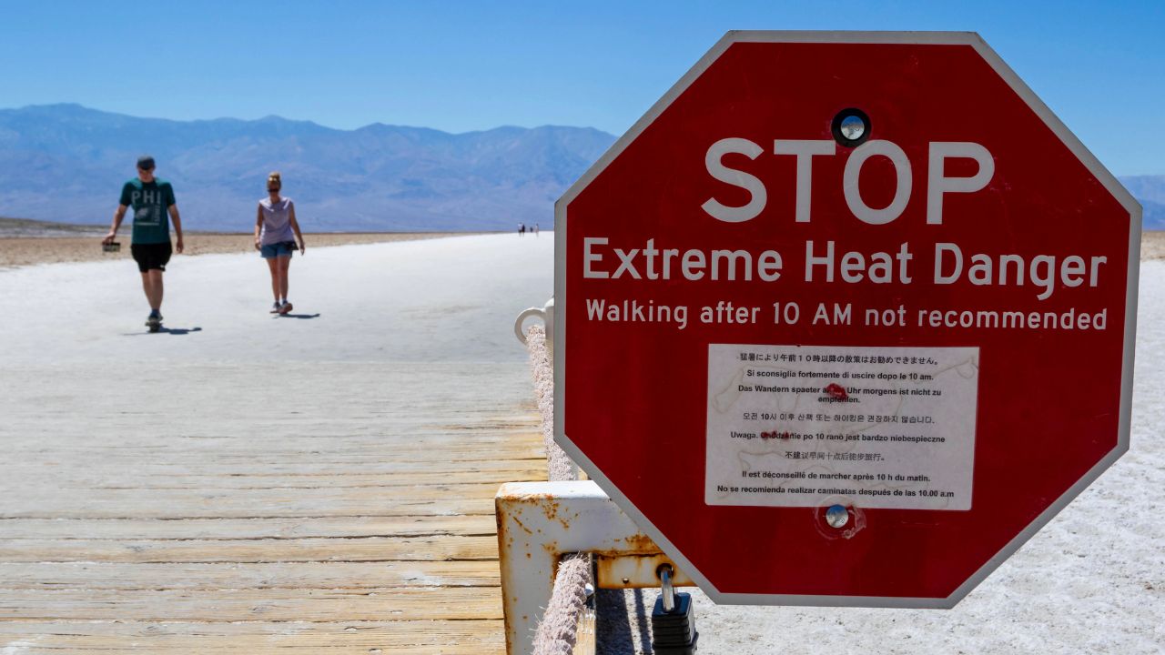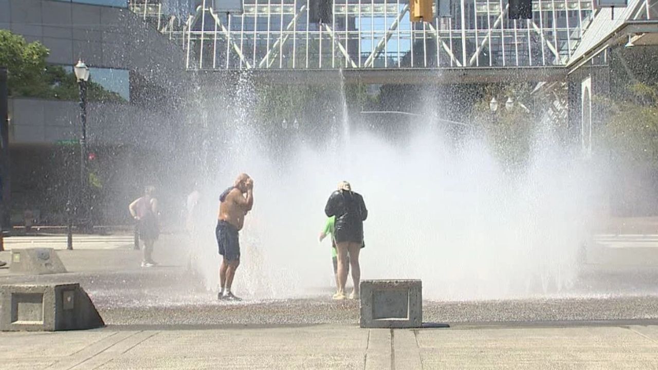
Western United States — Another significant heat surge is developing across the interior West, with a new heat dome expected to build during the middle and latter part of this week and add further pressure to drought-stricken areas.
The upcoming heat wave is not expected to reach the extreme levels seen during some earlier episodes this summer, but forecasters say temperatures will still climb well above normal.
Many locations are expected to see temperatures 5–10 degrees Fahrenheit above historical averages, while the combination of intense sunshine, limited rainfall and high evaporation could make existing drought conditions worse.
Triple-Digit Heat Returns Across the West
The heat will be particularly intense across the Southwest and parts of the interior West.
Phoenix and Palm Springs, California, could see temperatures reach the 110s, while inland areas of Southern California are expected to climb well above 100 degrees.
Downtown Los Angeles is projected to experience multiple days with temperatures near 90 degrees, while Salt Lake City could record at least two days at or above 100 degrees later this week.
That would be notably warmer than Salt Lake City’s historical average highs, which are generally in the low 90s during this time of year.
The greatest departures from normal temperatures are expected across portions of Utah, Idaho, eastern Washington and eastern Oregon.
Some locations, particularly in the Southwest, could also experience unusually warm nights. Lingering monsoonal moisture may prevent temperatures from falling as much as they normally would, potentially resulting in record-high minimum temperatures in a few spots.
Heat Dome Could Shut Down Monsoon Storms
The heat will have consequences beyond uncomfortable temperatures.
As high pressure strengthens through a large portion of the atmosphere, it is expected to suppress already limited thunderstorm activity associated with the North American monsoon.
A few thunderstorms will still develop, but much of the interior West could remain dry.
That creates a complicated situation for drought-stricken areas. While isolated thunderstorms can produce intense rainfall and dangerous flash flooding, the overall amount of water reaching major rivers and reservoirs may remain limited.
In extremely dry soil, rainfall can quickly soak into the ground or produce runoff that disappears before reaching larger waterways.
Drought Continues to Drain Western Water Supplies
The prolonged heat comes as drought continues to place significant stress on the region’s water resources.
Summer water levels naturally rise and fall, but long-term drought has worsened across portions of the interior West following repeated periods of extreme heat since February.
High temperatures increase evaporation from soil and open water while also driving greater demand for water.
That combination means streams, rivers, lakes and reservoirs can continue losing water when rainfall fails to make up for those losses. The Colorado River Basin remains one of the most concerning areas.
Lake Powell and Lake Mead have fallen to record-low levels compared with their levels after the reservoirs were initially filled decades ago, highlighting the long-term strain facing the region’s water system.
Falling Reservoirs Also Threaten Hydropower
Declining reservoir levels could have consequences for the region’s electricity supply as well.
Lower water levels reduce the amount of hydroelectric power that can be generated at major dams, including Hoover Dam and Glen Canyon Dam.
Hoover Dam supplies electricity that helps serve the power grid across several Western states, while electricity generated at Glen Canyon Dam is marketed across Arizona, Colorado, Nevada, New Mexico, Utah, Wyoming and Nebraska.
At the same time, the new heat wave is expected to increase electricity demand because residents will rely more heavily on air conditioning.
That creates an added challenge for utilities as higher cooling demand coincides with pressure on hydropower generation.
Some Relief Could Arrive, But Drought May Persist
Forecasters say there could be a temporary increase in thunderstorm activity later as the western edge of the heat dome shifts eastward this weekend and into next week.
However, that relief may not last.
The heat dome could expand westward again from late August into early September, potentially suppressing thunderstorms once more.
Recent heavy thunderstorms have caused temporary fluctuations in some streams and reservoirs, but the broader water trend is expected to remain downward into autumn as monsoonal activity naturally decreases.
There is some longer-term hope for drought relief.
Forecasters say a strengthening El Niño could bring more beneficial rain and mountain snow this winter, potentially helping replenish water supplies.
Even greater relief could come if El Niño persists into the following year, although forecasters warn that La Niña remains possible during 2027–28.
For now, much of the West faces another difficult stretch of heat, dryness and increasing pressure on already limited water resources.
How are heat and drought conditions affecting your area? Share your experience and thoughts in the comments below.