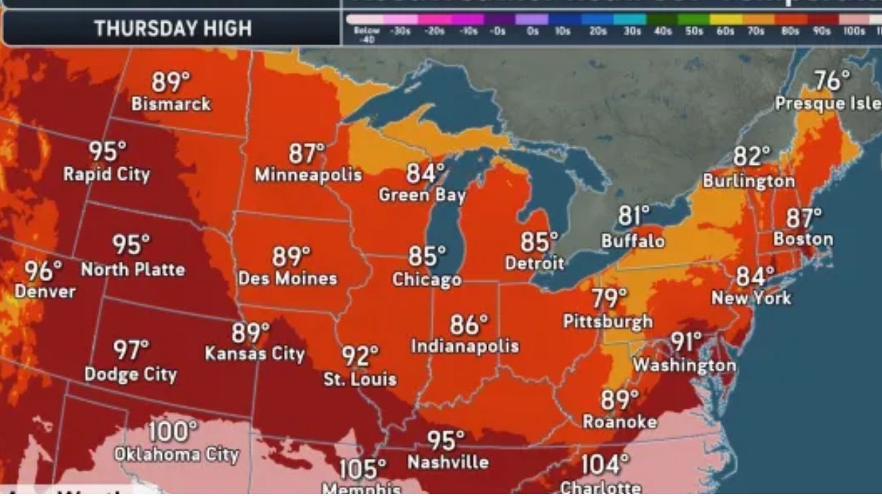
Indianapolis, Indiana — Central Indiana residents should prepare for a round of potentially strong thunderstorms late Monday night into Tuesday, followed by a noticeable drop in temperatures that will bring one of the coolest stretches of weather the region has seen in weeks.
The National Weather Service has issued a Weather Alert as forecasters monitor the potential for gusty winds, heavy rainfall and isolated severe storms before a cold front sweeps through the state.
Strong Storms Could Impact Tuesday Morning Commute
Forecasters say showers and thunderstorms are expected to develop overnight and continue into Tuesday morning, with some storms capable of producing strong wind gusts and brief heavy rainfall.
While widespread severe weather is not guaranteed, meteorologists say a few stronger storms cannot be ruled out, particularly during the morning hours.
As the rain moves east, cloud cover is expected to gradually decrease by early afternoon, allowing temperatures to climb into the mid-80s before another round of weather becomes possible.
Afternoon Storms Remain a Possibility
A cold front moving across Indiana Tuesday afternoon could trigger additional thunderstorms, although exactly where they develop remains uncertain.
Current forecast models suggest the greatest chance for stronger or severe storms will be across southeastern Indiana, with neighboring portions of Ohio and Kentucky also facing a higher risk.
Forecasters say residents across central Indiana should continue monitoring forecast updates, as even small changes in the front’s position could affect where storms redevelop.
Humidity levels are expected to remain high through much of Tuesday before dropping sharply during the evening after the cold front passes.
Cooler, Drier Air Brings an Early Taste of Fall
Behind the front, Indiana’s weather will undergo a dramatic change.
Tuesday night is expected to feature clear skies, much lower humidity and overnight lows in the 60s, offering a refreshing break from the recent summer heat.
The cooler pattern continues through Wednesday and Thursday, when daytime highs are forecast to remain in the mid to upper 70s, while nighttime temperatures could dip into the 50s across many communities.
The combination of sunshine, comfortable humidity and cooler temperatures will create conditions that feel more like early September than late July, making it one of the most pleasant stretches of weather so far this summer.
Forecasters also note that smoky haze from Canadian wildfires could return, as shifting winds behind the cold front may transport additional smoke into Indiana, potentially affecting air quality and visibility.
Summer Heat Returns for the Weekend
The cooler weather will not last long.
By Friday through Sunday, temperatures are expected to gradually climb back into the 80s, with some areas potentially reaching the upper 80s by Sunday afternoon.
Skies should remain partly cloudy for much of the weekend, and outdoor plans currently appear to be in good shape. Forecasts indicate favorable conditions for major events, including the Pennzoil 250 at Indianapolis Motor Speedway on Saturday, the Brickyard 400 on Sunday, and the Indy Eleven match Saturday evening.
However, forecasters say showers and thunderstorms could begin returning late Sunday or early next week as warmer and more humid conditions move back into the region.
Are you looking forward to the brief taste of fall, or are you hoping summer sticks around a little longer? Share your thoughts and let us know how you’re planning to enjoy the cooler weather in the comments below.