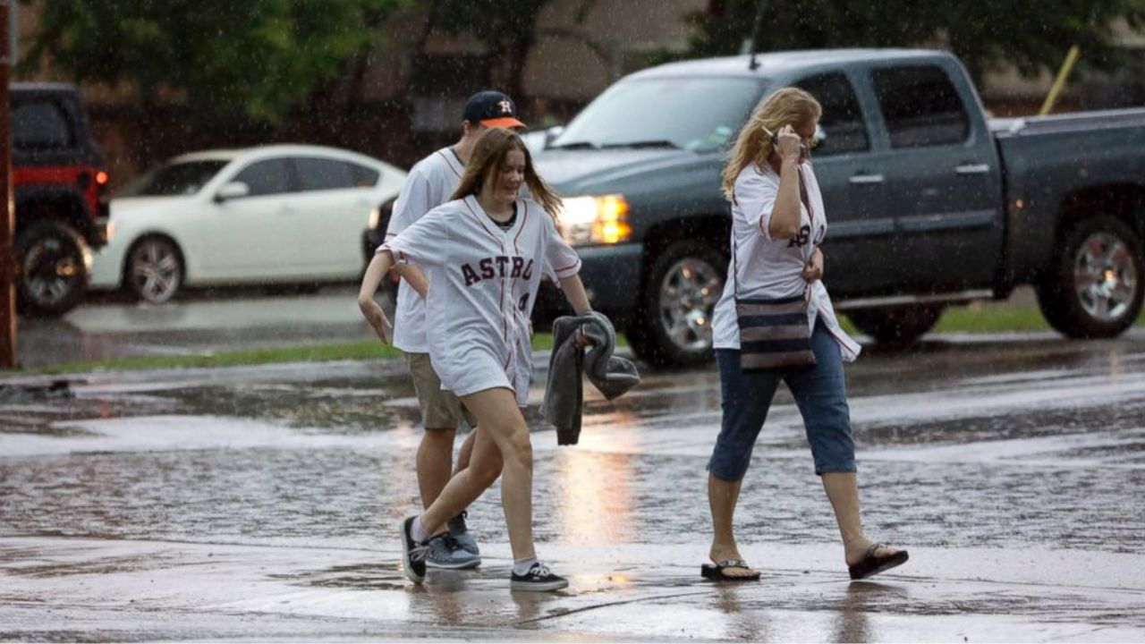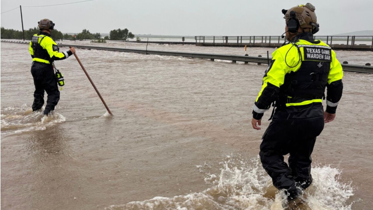
South Central Texas, Texas— Communities across South Central Texas remain under a dangerous flash flood threat after repeated rounds of powerful thunderstorms dumped up to a foot of rain in some locations, forcing water rescues, closing roads and raising concerns that the worst flooding may still be ahead.
Forecasters say the same weather pattern responsible for the relentless rainfall is expected to continue through Thursday, increasing the risk of life-threatening flooding across several counties.
The National Weather Service (NWS) is warning residents to remain alert, as additional storms could bring another 10 to 20 inches of rainfall in the hardest-hit areas.
Forecasters Warn More Torrential Rain Is Still Ahead
Meteorologists say a stalled weather system has allowed thunderstorms to repeatedly move over the same communities, producing rainfall rates of 3 to 4 inches per hour overnight.
The greatest concern remains along the U.S. 90 corridor west of San Antonio, including parts of the southern Edwards Plateau and Rio Grande Plains, where flooding has already become widespread.
Officials say Uvalde County is among the areas that have experienced some of the heaviest rainfall.
In its latest forecast discussion, the National Weather Service warned that the combination of intense rainfall and repeated storms could create extremely dangerous conditions.
“The forecast remains relatively unchanged with intense rain rates and compounding effects from multiple rounds of storms resulting in a dangerous flash flooding threat through Thursday,” the National Weather Service said.
Highest Flood Risk Remains in Place
The Weather Prediction Center continues to place much of South Central Texas under a High Risk (Level 4 of 4) for excessive rainfall—the agency’s highest category for potentially life-threatening flash flooding.
While many communities are expected to receive an additional 2 to 6 inches of rain, meteorologists warn that isolated areas caught under repeated thunderstorms could receive another 10 to 20 inches, dramatically increasing the risk of catastrophic flooding.
Emergency officials continue urging residents to avoid flooded roadways and monitor local weather alerts as conditions can change rapidly.
Rivers Expected to Keep Rising Even After Rain Ends
Beyond flash flooding, forecasters warn that major rivers and streams may continue rising long after the storms move out.
Officials are closely monitoring water levels along several waterways, including the:
- Pecos River
- Rio Grande
- Nueces River
- Frio River
- Medina River
- San Antonio River
Authorities also cautioned that creeks and normally dry arroyos can rise with little warning, especially during nighttime hours when floodwaters are more difficult to detect.
When Will Conditions Improve?
Meteorologists expect rainfall to gradually decrease across eastern portions of South Central Texas beginning Friday, although scattered showers and thunderstorms may continue across western parts of the region into the weekend.
A return to drier weather is expected early next week, with temperatures forecast to climb back into the 90s.
Until then, officials are urging residents in flood-prone areas to remain vigilant, follow evacuation orders if issued, and never attempt to drive through flooded roadways.
With saturated ground, rising rivers and more heavy rain in the forecast, emergency managers warn that flooding conditions could continue to worsen before meaningful improvement arrives.
Are you experiencing flooding or severe weather in your area? Share your experiences and safety tips in the comments, and remember to follow guidance from local emergency officials as conditions continue to change.