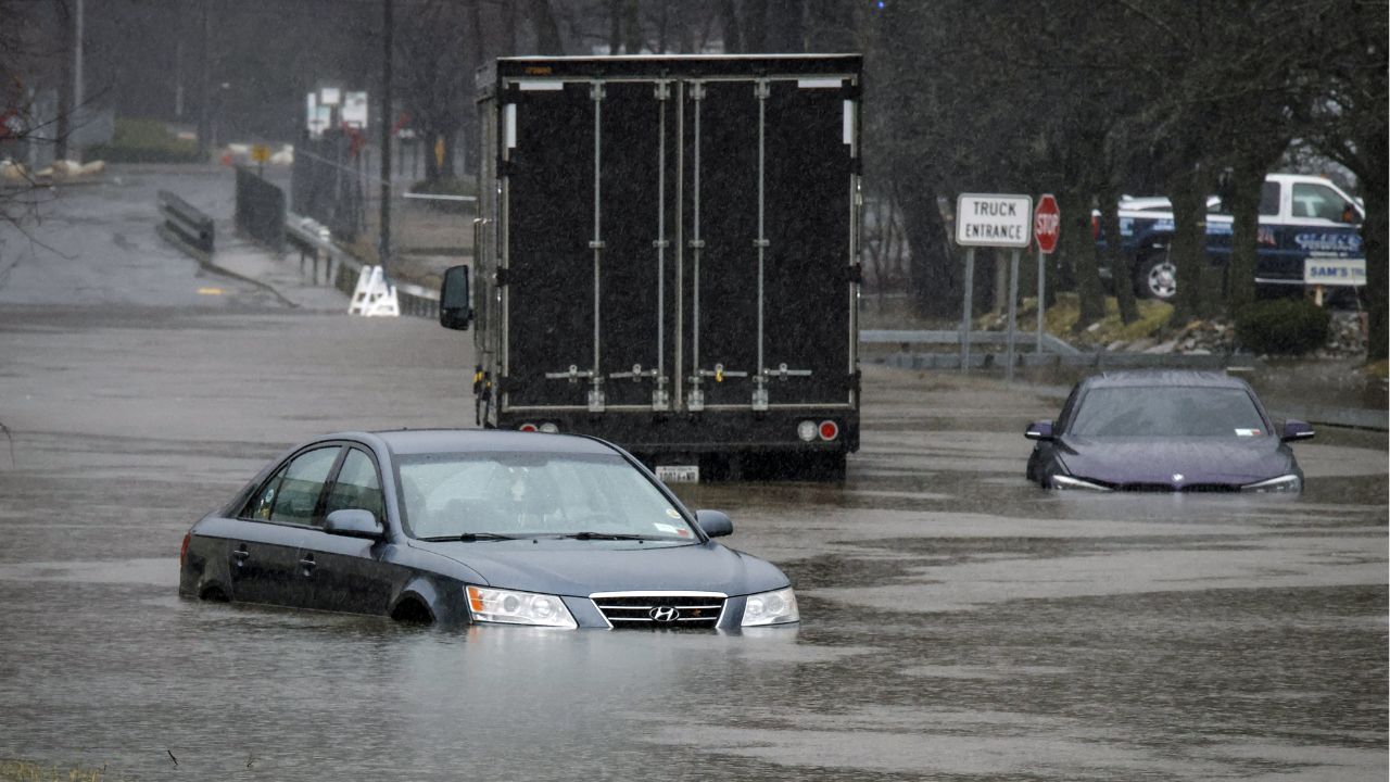
Cottonport, Louisiana — Communities across the Gulf Coast and Southeast are beginning to assess the damage after a powerful storm system unleashed historic rainfall, flooding roads, inundating neighborhoods, and triggering emergency rescues across multiple states.
The most extreme rainfall totals were recorded in Louisiana, where some locations received amounts rarely seen in such a short period of time. While the worst of the storms are expected to move out of the Southeast by Father’s Day, forecasters warn that flooding concerns are shifting toward portions of the Central United States.
Louisiana Records Nearly 30 Inches of Rain
According to meteorologists, Cottonport, Louisiana, recorded an astonishing 29.06 inches of rain between June 18 and June 19. Much of that rainfall fell within approximately 12 hours, overwhelming drainage systems and causing widespread flooding.
Several nearby Louisiana communities also reported extraordinary rainfall totals, including:
- 22.53 inches in Plaucheville
- 17.66 inches near the Atchafalaya River at Simmesport
The storm system was enhanced by lingering tropical moisture associated with the remnants of Tropical Storm Arthur, helping fuel intense downpours across the region.
Flash Flooding Creates Dangerous Conditions
The heavy rainfall led to significant flooding throughout parts of Louisiana, Mississippi, Alabama, Florida, and Texas. Emergency officials reported flooded roads, stranded vehicles, and dangerous travel conditions as water quickly accumulated.
In Mississippi, portions of Highway 49 were reportedly covered by as much as three feet of water, leaving motorists trapped and forcing emergency crews to respond.
Homes and businesses in communities including Seminary, Mississippi, also experienced flooding as rivers and creeks rose rapidly.
Meanwhile, water rescues were reported in Mobile, Alabama, as emergency responders worked to assist residents affected by the fast-rising water.
The severe weather served as a reminder of how quickly flash flooding can develop when tropical moisture combines with slow-moving storm systems.
Rainfall Totals Across the Region Were Remarkable
Several states reported double-digit rainfall totals during the event. Among the highest reported amounts were:
Louisiana
- Cottonport: 29.06 inches
- Plaucheville: 22.53 inches
- Simmesport: 17.66 inches
Mississippi
- Perkinston: 12.39 inches
- Black Creek: 12.36 inches
Texas
- Village Mills: 11.41 inches
Florida
- Inlet Beach: 7.42 inches
Alabama
- Saraland: 7.04 inches
These totals contributed to swollen waterways and localized flooding throughout the region.
Flood Threat Shifts Toward Central States
While weather conditions are expected to gradually improve across much of the Southeast, forecasters continue monitoring areas farther north and west.
A moderate flooding risk has been highlighted for portions of Kansas, Nebraska, Iowa, and Missouri as additional rounds of rainfall move through the Central Plains and Midwest.
Officials are urging residents in flood-prone areas to stay alert for changing weather conditions and avoid driving through flooded roadways.
Even after rainfall ends, rivers and streams can continue rising for days.
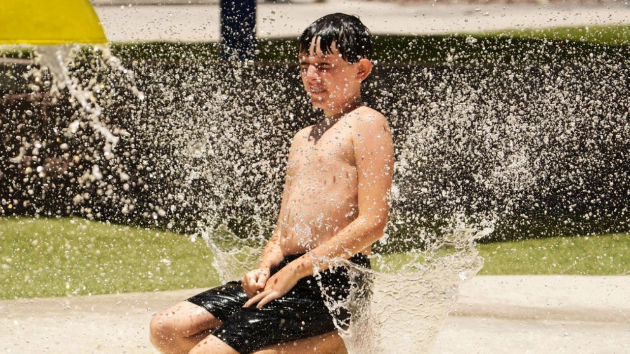
Heat and Summer Weather Patterns Continue
As flooding concerns remain in some areas, other parts of the country are preparing for a different weather threat.
Forecasters expect temperatures to climb sharply across portions of the Pacific Northwest, with highs potentially reaching 100 degrees in Portland and exceeding 90 degrees in Seattle.
Meanwhile, Texas, Florida, and much of the Gulf Coast are expected to continue experiencing high heat and humidity.
By the middle of next week, a summer cold front is expected to bring near- to below-normal temperatures across much of the eastern two-thirds of the United States, offering some relief after a week of active weather.
For many communities impacted by flooding, however, the focus remains on cleanup and recovery as residents work to assess damage left behind by one of the region’s most significant rainfall events of the year.
Have you experienced flooding or severe weather in your area recently? Share your experiences and safety tips respectfully in the comments below.