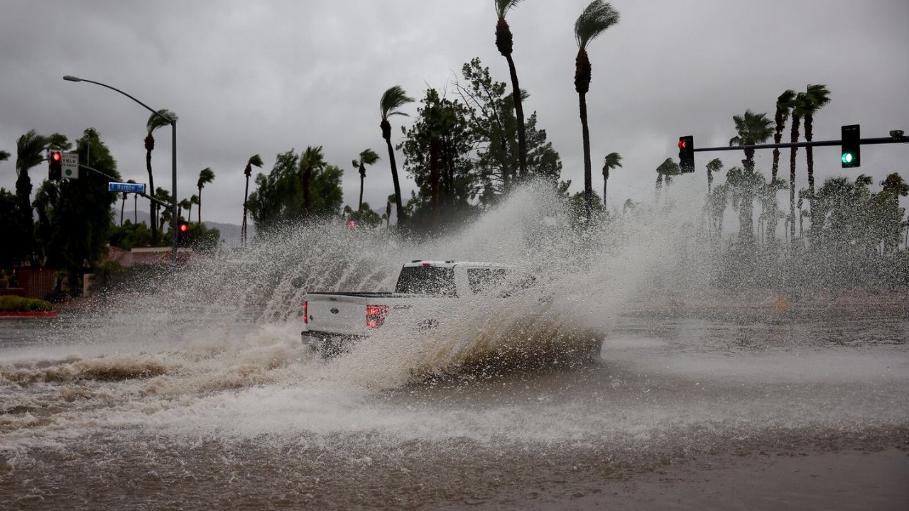
Houston, Texas — Millions of people across parts of Texas, Louisiana, and Mississippi are facing an increasing risk of flash flooding as multiple rounds of heavy rain continue to impact the Gulf Coast and Lower Mississippi Valley.
Meteorologists say the threat is especially concerning because many communities have already received significant rainfall in recent days, leaving the ground saturated and unable to absorb much additional water. As storms continue moving through the region, officials warn that flooding could develop rapidly, even in areas that do not normally experience flood problems.
Emergency managers are urging residents to stay weather-aware and avoid flooded roadways as conditions remain dangerous through at least Thursday.
Texas Faces Greatest Flooding Concerns
Texas remains the primary focus of the ongoing flood threat, with forecasters warning that some areas could see rainfall totals reach dangerous levels.
Flash flood warnings were issued overnight for portions of South Texas, while broader flood watches cover large sections of southern, southeastern, and south-central parts of the state.
Some communities have already recorded between 4 and 6 inches of rainfall, and forecasters say another 4 to 10 inches could fall in certain locations before conditions improve.
In isolated areas where storms repeatedly move over the same locations, rainfall totals could exceed 12 inches, dramatically increasing the likelihood of severe flash flooding.
Meteorologists also warn that the strongest thunderstorms may produce rainfall rates of 2 to 5 inches per hour, overwhelming drainage systems in a short amount of time.
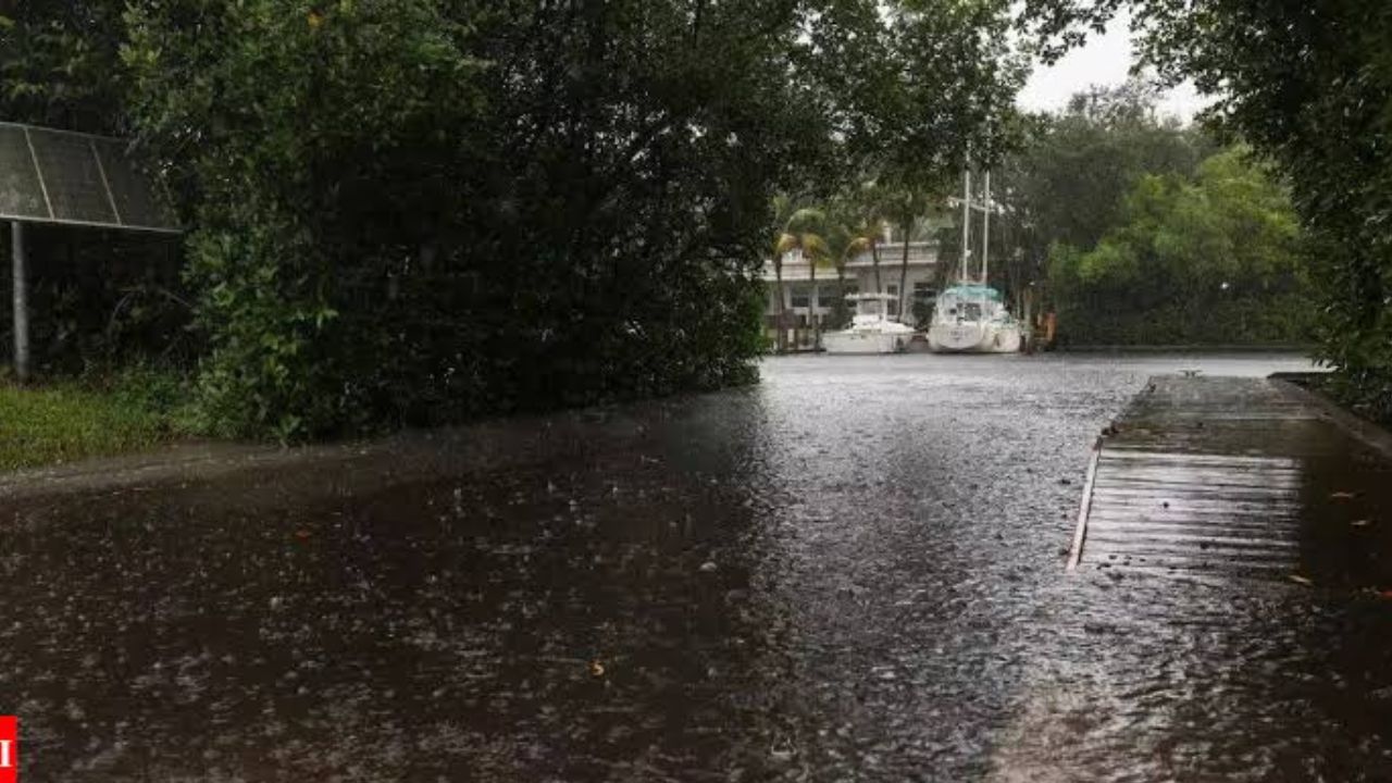
Louisiana Braces for Multiple Rounds of Rain
The flooding threat extends across much of Louisiana, where flood watches remain in effect through at least Thursday and, in some locations, into Friday.
Forecasters expect several rounds of thunderstorms capable of producing widespread rainfall totals of 3 to 6 inches, with localized areas receiving even higher amounts.
River flooding is also becoming a growing concern.
Officials are closely monitoring waterways across the state, including the Mermentau River, which is expected to reach minor flood stage later this week.
With soil already saturated in many locations, additional rainfall could quickly lead to flooding in low-lying neighborhoods and areas with poor drainage.
Mississippi Also Under Flood Watches
Large portions of Mississippi remain under flood alerts as repeated thunderstorms continue moving across the state.
The National Weather Service warns that 3 to 5 inches of rain could fall within a relatively short period, with some areas potentially receiving significantly higher totals.
Forecasters say repeated downpours could create dangerous travel conditions, especially in central and southern Mississippi where flood-prone areas may struggle to handle additional rainfall.
Residents are being encouraged to remain alert for changing weather conditions and potential flash flood warnings.
Why the Flood Threat Is So Serious
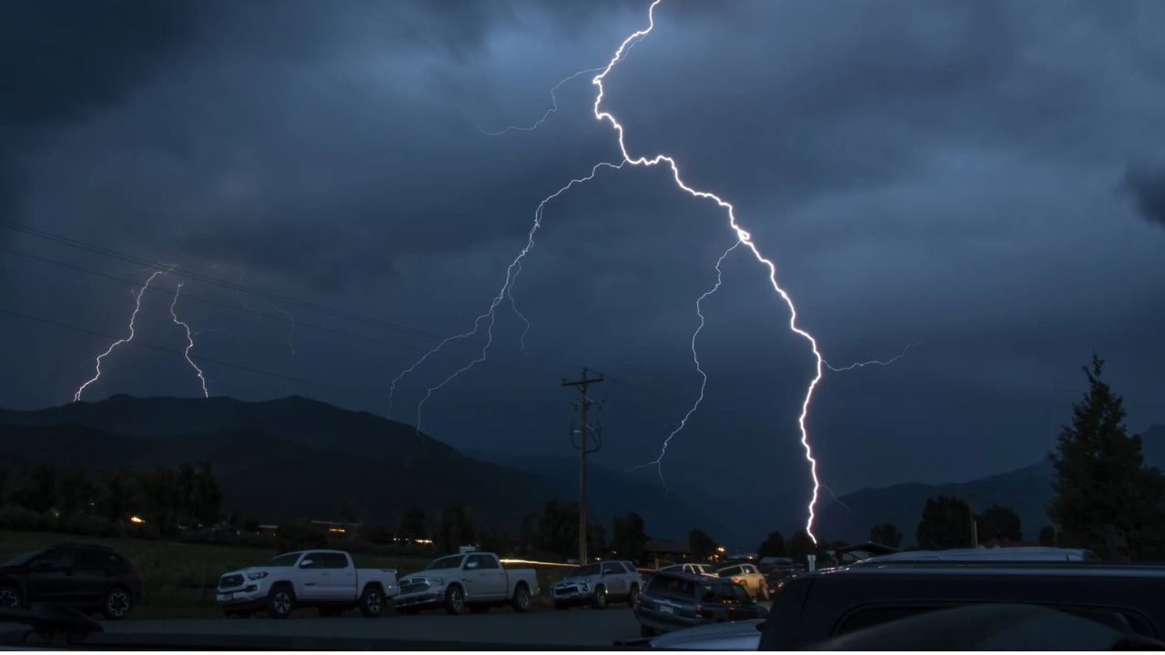
Meteorologists say several factors are combining to create an unusually dangerous setup.
One of the biggest concerns is the already saturated ground across much of the region. When additional heavy rain falls on soil that can no longer absorb water, runoff increases rapidly and flooding develops much faster.
At the same time, repeated thunderstorms are expected to move over some of the same locations, producing exceptionally high rainfall totals.
Rainfall rates between 2 and 4 inches per hour are possible in stronger storms, creating conditions where streets, highways, and neighborhoods can flood with little warning.
Major Flood Emergency Unfolding Across Texas This Week as Forecasters Warn of Life-Threatening Rain
Officials Urge Residents to Stay Prepared
The National Weather Service continues to emphasize one important safety message:
“Turn Around, Don’t Drown.”
Many flood-related deaths occur when drivers attempt to cross flooded roadways, underestimating the depth or force of moving water.
Officials recommend staying updated through local weather alerts, avoiding unnecessary travel during periods of heavy rain, preparing emergency supplies, and moving to higher ground if flooding develops.
The flood threat is expected to continue across all three states through Thursday, with some areas potentially seeing impacts linger into Friday. While conditions may gradually improve later in the week, forecasters warn that additional rounds of heavy rain could quickly worsen flooding in already saturated communities.
Have you experienced flash flooding in your area before? What precautions do you think communities should take when repeated heavy rainfall is forecast? Share your thoughts and experiences respectfully in the comments below.