Eureka, California — Northern California is bracing for an unusual mix of heat, humidity, potential thunderstorms and elevated wildfire danger as the remnants of Tropical Storm Elida move northward along the Pacific Coast this week.
While Elida has weakened into a post-tropical cyclone, forecasters say the system could still influence weather across the region by increasing moisture, creating unstable atmospheric conditions and producing isolated thunderstorms capable of igniting new wildfires.
Red Flag Warning Issued as Fire Risk Increases
The National Weather Service has issued a Red Flag Warning for portions of southwestern Siskiyou, Humboldt and Trinity counties, where hot temperatures, low humidity and dry vegetation have created conditions favorable for rapid wildfire growth.
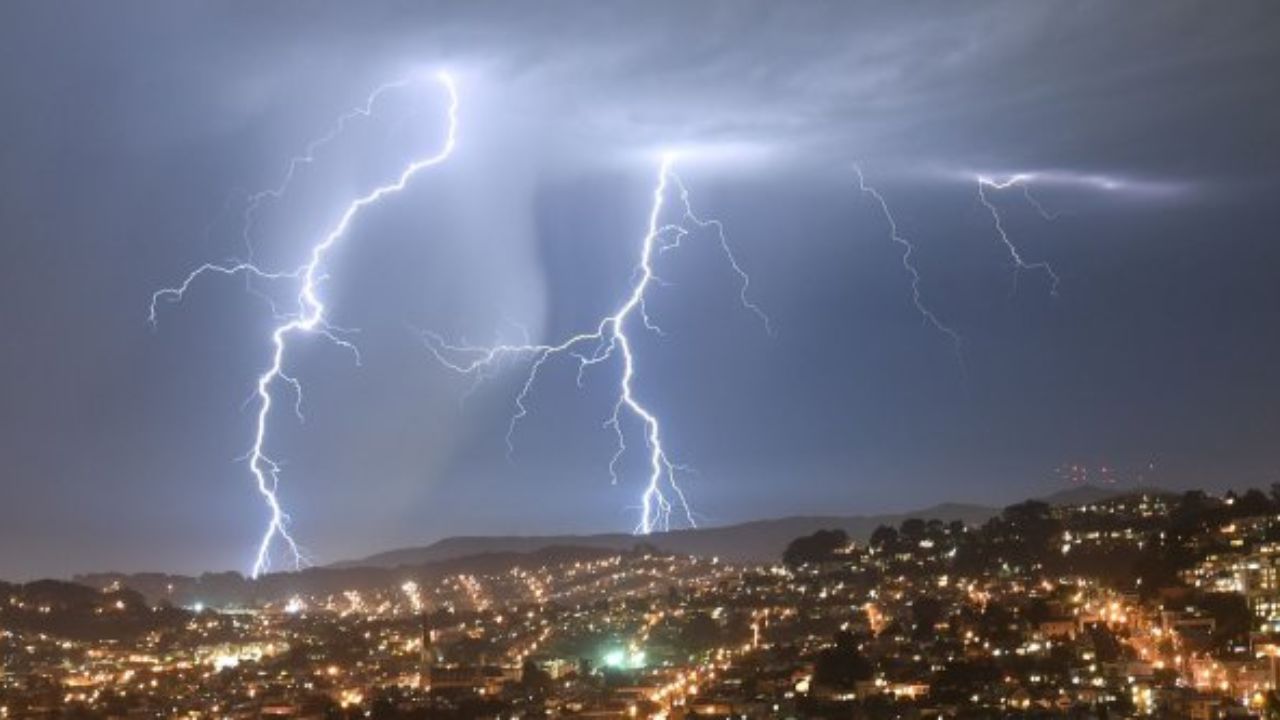
Meteorologists are especially concerned that any thunderstorms developing from Elida’s remaining tropical moisture could produce lightning with limited rainfall, increasing the risk of new fire starts across already dry landscapes.
“The biggest thing is to keep an eye on the forecast,” meteorologist Matthew Kidwell with the National Weather Service in Eureka said.
“We’re watching it closely, as the forecast could change quickly and there could be the potential for thunderstorm.”
Officials are encouraging residents, especially those in wildfire-prone communities, to stay informed as weather conditions could change with little notice.
Elida Could Bring Thunderstorms and Rough Surf
According to the National Hurricane Center, Elida is expected to weaken as it moves north from west of Baja California toward California before dissipating near the Bay Area.
Although the strongest impacts are expected in Southern California, forecasters say Northern California could still experience isolated thunderstorms, brief periods of heavy rain and increased coastal wave activity over the next several days.
The National Weather Service office in Eureka has also reported waves reaching approximately four feet, creating rougher-than-normal conditions along parts of the coastline.
Higher humidity is expected to make conditions feel noticeably more muggy than usual across many areas of Northern California.
Bay Area Expected to Feel More Humid
Residents across the San Francisco Bay Area can expect warmer, more humid weather through the week as tropical moisture spreads into the region.
Forecast highs are expected to remain in the mid-60s to mid-70s near the coast, while inland communities could see temperatures in the low-70s to low-80s.
Forecasters say a few isolated showers are possible as the weakening storm approaches, although the greatest chance for thunderstorms remains farther north.
Sacramento Valley Faces Triple-Digit Heat
While Sacramento is expected to avoid the worst of Elida’s impacts, meteorologists say the region will still experience higher humidity, increasing cloud cover and a slight chance of isolated mountain showers or thunderstorms.
According to the National Weather Service in Sacramento, the probability of significant storm activity remains relatively low.
However, temperatures across much of the northern Sacramento Valley are expected to climb between 101 and 103 degrees from Monday through Wednesday, including areas around Redding and Red Bluff.
Temperatures are forecast to ease slightly later in the week before another warming trend develops.
Travelers Urged to Monitor Weather Conditions
Weather officials are advising anyone planning to visit Northern California’s mountains, national forests or national parks to closely monitor updated forecasts before traveling.
Because tropical systems can shift unexpectedly, conditions may change quickly, especially in higher elevations where thunderstorms are more likely to develop.
Officials also recommend carrying plenty of drinking water, taking frequent breaks outdoors and watching for signs of heat-related illness during periods of extreme temperatures.
Even though Elida is expected to weaken before reaching Northern California, meteorologists say the combination of heat, humidity, lightning potential and elevated wildfire danger means residents should remain alert throughout the week.
Do you live in Northern California or have outdoor plans this week? How are you preparing for the changing weather and wildfire risk? Share your thoughts in the comments below.