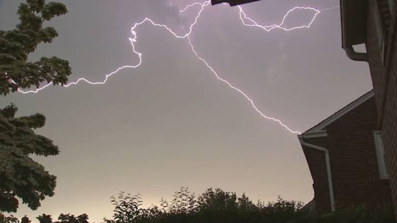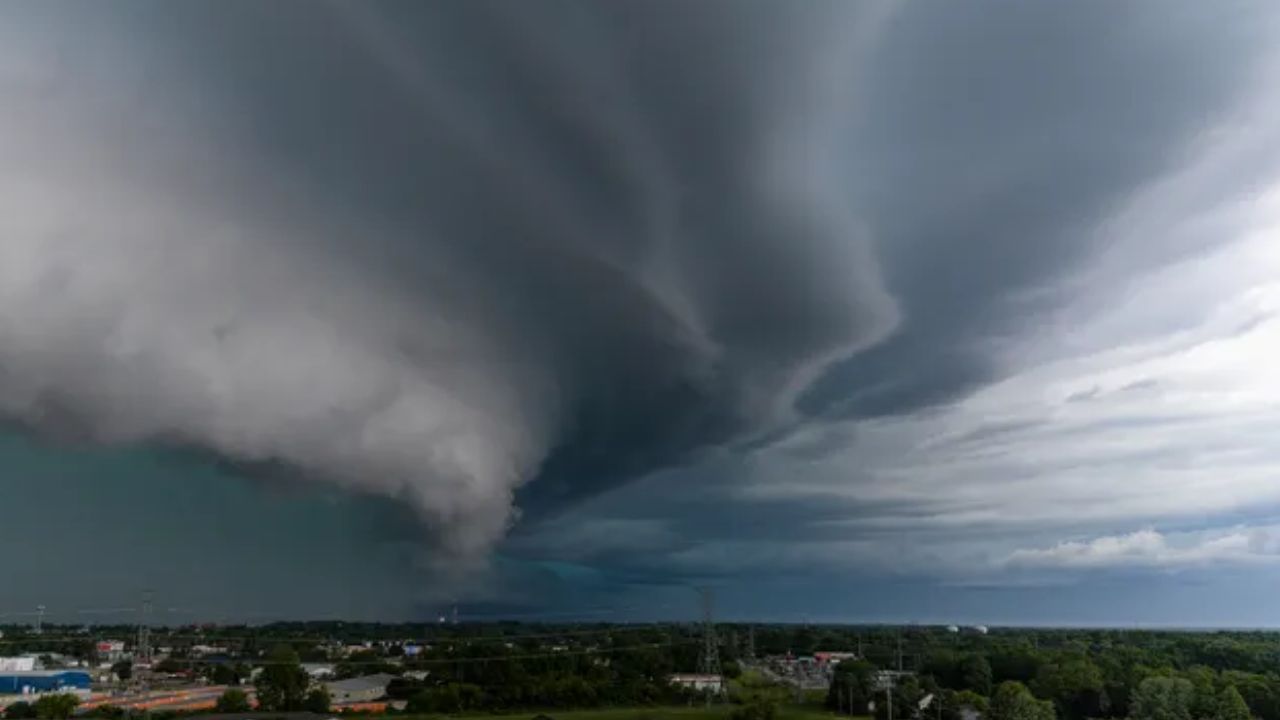
Chicago, Illinois — Millions of Americans are under the threat of severe weather this week as a powerful storm system is expected to bring damaging winds, large hail, isolated tornadoes and life-threatening flash flooding from the Upper Midwest to the Northeast.
Forecasters say the multiday event will begin Monday and continue through Wednesday as a cold front pushes east across the country. Warm, humid air flowing ahead of the system is expected to fuel repeated rounds of strong to severe thunderstorms.
While the exact timing of individual storms may change, meteorologists say confidence is increasing that several regions will experience dangerous weather over the next few days.
Monday’s Highest Risk Centers on Wisconsin and Northern Iowa
The severe weather threat begins Monday as a storm system moves from southern Canada into the Great Lakes.
According to forecasters, parts of Wisconsin and northern Iowa face the greatest risk, with the Storm Prediction Center assigning a Level 3 out of 5 severe weather risk.
The primary concern will be destructive straight-line wind gusts, although large hail and a few tornadoes are also possible.
Other cities expected to monitor conditions closely include:
- Chicago, Illinois
- Milwaukee, Wisconsin
- Green Bay, Wisconsin
- Des Moines, Iowa
These areas remain under a Level 2 out of 5 severe weather threat.
Severe Storms Shift Into the Ohio Valley on Tuesday
By Tuesday, the cold front will advance farther east, spreading the severe weather threat into the Ohio Valley and central Appalachians.
Forecasters expect another round of afternoon and evening thunderstorms capable of producing damaging wind gusts, with isolated hail and tornadoes also remaining possible.
Cities that could experience severe weather include:
- Pittsburgh, Pennsylvania
- Cincinnati, Ohio
- Columbus, Ohio
- Louisville, Kentucky
- Indianapolis, Indiana
Meteorologists say residents in these areas should closely monitor forecasts as storms develop throughout the day.
Mid-Atlantic and Northeast Face Wednesday Threat
Another weather disturbance moving through the Great Lakes on Wednesday is expected to reinforce the storm pattern and push severe weather into the Mid-Atlantic and Northeast, including portions of the heavily populated Interstate 95 corridor.
Depending on how the atmosphere evolves earlier in the week, cities from the interior Northeast to parts of the East Coast could experience strong thunderstorms capable of producing damaging winds and torrential rainfall.
Officials say forecast details may still change, but the overall setup supports another active day of severe weather.
Flash Flooding Could Become Increasingly Dangerous
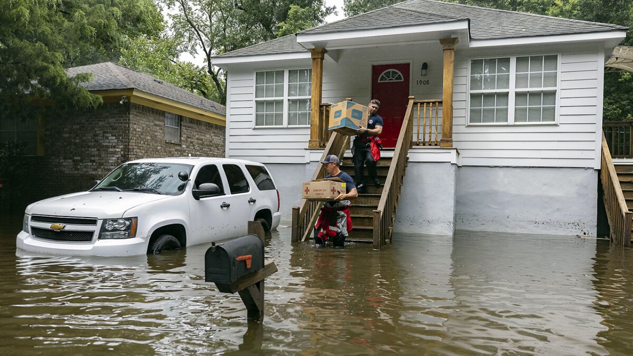
In addition to severe thunderstorms, flash flooding is expected to become a growing concern each day.
Meteorologists say deep tropical moisture ahead of the cold front could produce rainfall rates of 2 to 3 inches per hour in the strongest storms.
Repeated thunderstorms moving over the same communities may quickly overwhelm drainage systems, particularly in urban areas where runoff occurs rapidly.
Forecasters warn that flooding could worsen as the storm system progresses east, especially where multiple rounds of heavy rain develop over already saturated ground.
Residents across the Midwest, Ohio Valley, Mid-Atlantic and Northeast are encouraged to stay weather-aware throughout the week, as watches and warnings may be issued with little notice as dangerous storms develop.
Is your area included in this week’s severe weather threat? Let us know how conditions are changing where you live, and remember to follow all local weather alerts if storms approach your community.