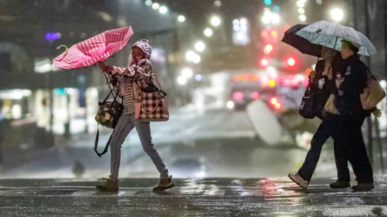
Atlanta, Georgia — Residents across the Southeast are being urged to stay alert as a slow-moving weather pattern continues to drench parts of the region, raising the threat of flash flooding through the middle of the week. After several days of persistent rainfall, forecasters say another round of slow-moving showers and thunderstorms could bring additional flooding to areas that are already saturated.
Slow-Moving Weather Pattern Expected to Stall
Meteorologists say an upper-level weather system lingering over the Southeast will gradually become separated from the main jet stream on Tuesday.
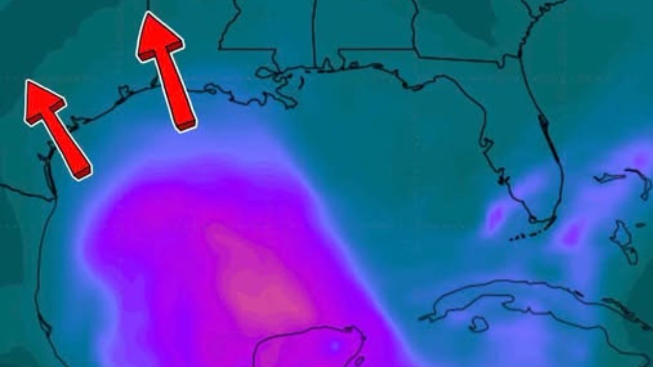
As the system stalls, it will continue drawing deep tropical moisture into the region, creating favorable conditions for repeated rounds of showers and thunderstorms over the same locations.
This slow-moving setup means some communities may experience prolonged rainfall rather than fast-moving storms, increasing the likelihood of localized flooding.
According to forecasters, the greatest concern is not widespread severe weather but the potential for heavy rainfall accumulating over several hours.
Heavy Rain Could Trigger Flash Flooding
Rainfall rates of 1 to 2 inches per hour are possible, especially along portions of the Carolinas, Georgia, and Florida, where storms are expected to remain close to the coastline for much of the day.
Because many areas have already received several inches of rain in recent days, the ground has become increasingly saturated, making it easier for additional downpours to trigger flash flooding.
Weather experts warn that slow-moving thunderstorms could repeatedly develop over the same locations, a phenomenon that significantly increases flood risks in urban neighborhoods, low-lying areas, and locations with poor drainage.
Residents living near creeks, streams, and flood-prone roads should closely monitor changing weather conditions.
Flash Flood Warnings Issued as Powerful Storms Dump Heavy Rain Across Massachusetts and New England
Flash Flood Risk Extends Across Multiple States
The Level 1 out of 4 flash flood risk remains in effect for both Tuesday and Wednesday, covering a broad stretch of the Southeast.
The area of concern extends from the Deep South through the Tennessee Valley and into the southern Appalachian Mountains, where repeated rainfall may overwhelm drainage systems.
Although the overall flood threat is currently considered relatively low on the national scale, forecasters emphasize that localized flash flooding can still become dangerous wherever the heaviest storms persist.
Even a modest risk level can produce significant impacts if thunderstorms repeatedly affect the same community.
Severe Weather Threat Remains Limited
While flooding remains the primary concern, a few thunderstorms could become strong enough to produce damaging wind gusts and frequent cloud-to-ground lightning.
However, widespread severe weather outbreaks are not expected with this weather pattern.
Instead, forecasters say the focus should remain on the possibility of slow-moving storms repeatedly dropping heavy rain over already wet ground, creating hazardous travel conditions and increasing the potential for flooded roadways.
Motorists are urged to avoid driving through water-covered roads, as water depth and roadway conditions may be difficult to judge during heavy rain.
Weather conditions are expected to remain unsettled through midweek, and residents across the Southeast should continue monitoring local forecasts for any updated flood advisories or warnings as the slow-moving storm system lingers.
Are you experiencing heavy rain or flooding in your area? Let us know your conditions and share your tips for staying safe during periods of flash flooding in the comments below.