Philadelphia, Pennsylvania — Summer’s heat is showing little sign of giving up across much of the eastern United States, with hot temperatures, oppressive humidity and frequent thunderstorms expected to continue into the middle of August. Forecasters say the stormy pattern could provide some relief from the worst daytime temperatures while simultaneously creating a heightened risk of flash flooding.
The setup is creating a sharp contrast with the western half of the country, where dangerous heat and mostly dry conditions are contributing to ongoing wildfire concerns.
Heat and Thunderstorms to Continue Across the East
Meteorologists say a persistent combination of heat and humidity will keep much of the East feeling steamy over the next couple of weeks.
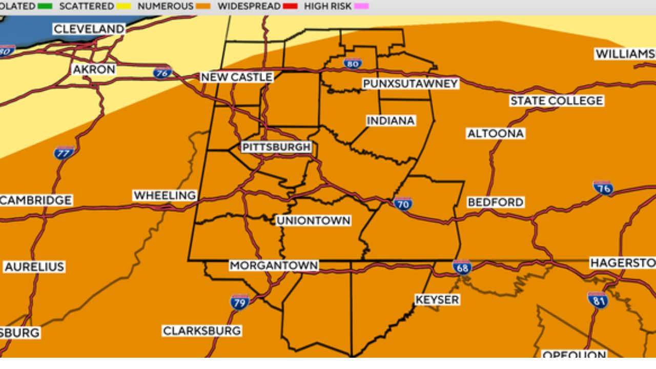
Afternoon and evening thunderstorms are expected to develop frequently, particularly across portions of the Mid-Atlantic and Southeast.
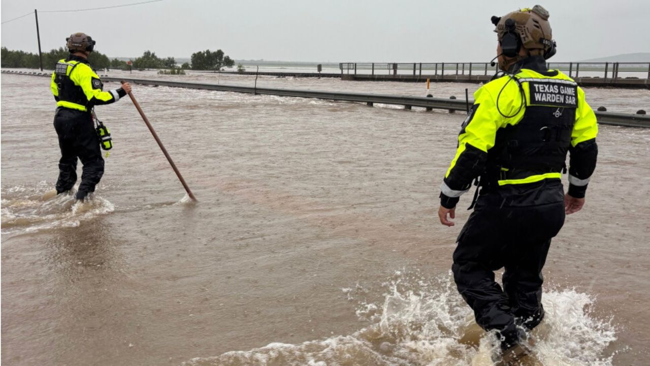
Those storms could temporarily knock temperatures down, but forecasters warn that they may also produce localized damaging wind gusts and flash flooding.
The daily storms are one of the main factors preventing temperatures from climbing even higher.
Even so, temperatures are expected to generally increase into the weekend, with some locations remaining hot through the middle of August.
Philadelphia Faces More 90-Degree Days
Philadelphia is already feeling the extended summer heat.
The city recorded its 30th day of at least 90 degrees Thursday, and forecasters expect several more days at or above that mark into early next week.
At least one additional heat wave could develop through next Tuesday. In the Philadelphia region, a heat wave is generally defined as three or more consecutive days with temperatures reaching 90 degrees or higher.
The combination of repeated heat and high humidity could make outdoor activities uncomfortable and potentially dangerous, particularly during the afternoon.
Raleigh Heat Returns After Brief Break
Raleigh, North Carolina, briefly experienced cooler conditions Tuesday, when temperatures reached only 83 degrees, about seven degrees below the historical average for that date.
The break did not last.
Temperatures climbed again Thursday, reaching 93 degrees, and the hot stretch could continue into the third weekend of August.
Humidity will add another layer to the heat. Forecasters say RealFeel temperatures could frequently reach the upper 90s to around 100 degrees, making conditions feel significantly hotter than the actual thermometer reading.
Warm Nights Could Increase Heat Risk
The concern isn’t limited to daytime temperatures.
High humidity is expected to keep overnight temperatures elevated, with many locations remaining in the 70s overnight. Some urban areas could even struggle to fall below 80 degrees.
That limited nighttime cooling can make prolonged heat events more dangerous because the body has less opportunity to recover from daytime heat.
Researchers have found that nighttime temperatures are warming faster than daytime highs in many areas, adding another concern during extended heat waves.
Some Northern Areas Could Get Relief
Not every part of the East will experience the same level of heat.
Parts of the Great Lakes and northern New England could receive occasional pushes of cooler, less humid air from Canada.
Saranac Lake in New York’s Adirondack Mountains, for example, is expected to remain among the cooler locations, with daytime temperatures generally staying in the 70s through mid-August.
For residents farther south and east, however, relief may be much harder to find.
West Faces Even More Extreme Heat
While the East deals with heat and thunderstorms, the western U.S. is expected to remain the nation’s hottest region over the coming weeks.
The Southwest deserts could experience triple-digit temperatures for another week or longer, adding pressure to communities already dealing with wildfire activity and smoke.
Forecasters expect the record-challenging heat to eventually shift toward the central United States around the middle of August, potentially extending the nation’s broader summer heat concerns.
For the East, the combination of persistent humidity, repeated 90-degree temperatures and daily thunderstorms means residents may need to keep both heat safety and severe-weather risks in mind throughout the next several weeks.
How are you dealing with the ongoing summer heat and humidity? Are frequent thunderstorms making outdoor plans difficult in your area? Share your experience in the comments below.