New York City, New York — More than 40 million Americans across the Northeast and Mid-Atlantic are facing a potentially dangerous stretch of summer weather as sweltering heat, abundant moisture and an approaching cold front combine to fuel strong thunderstorms through the weekend.
Forecasters are warning that the storms could bring damaging winds, torrential rainfall, lightning and flash flooding, particularly in areas that have already received significant rainfall in recent weeks.
Severe Thunderstorm Watch Covers Six States
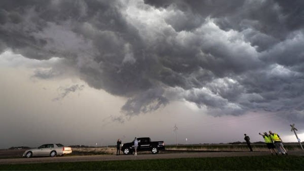
A Severe Thunderstorm Watch has been issued for parts of Connecticut, New Jersey, New York, Pennsylvania, Delaware and Maryland, covering major population centers including New York City, Philadelphia, Washington, D.C. and Baltimore.
The watch remains in effect through 9 p.m. ET, with wind gusts reaching up to 65 mph considered the main threat.
Meteorologists say storms could also produce small hail and frequent lightning, although damaging winds are expected to be the most significant severe-weather hazard.
The threat comes as moisture from the Atlantic continues moving northward ahead of an approaching cold front.
Heat and Humidity Are Helping Fuel Storms
A high-pressure system positioned offshore is helping push warm, moisture-rich air inland across the eastern United States.
That combination of heat and humidity is creating an unstable atmosphere capable of supporting widespread showers and thunderstorms.
Beginning Friday afternoon, a cold front extending from the Great Lakes toward the central Plains is expected to increase instability and trigger additional storms from the Southeast through the Northeast.
Storm activity could remain unsettled through much of the weekend as the front interacts with the unusually moist air mass.
Flash Flood Threat Could Become Serious
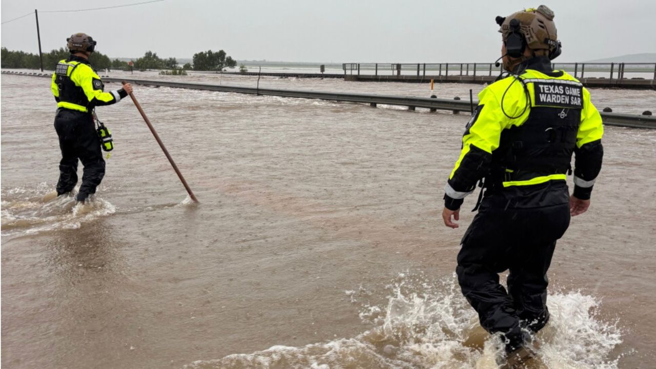
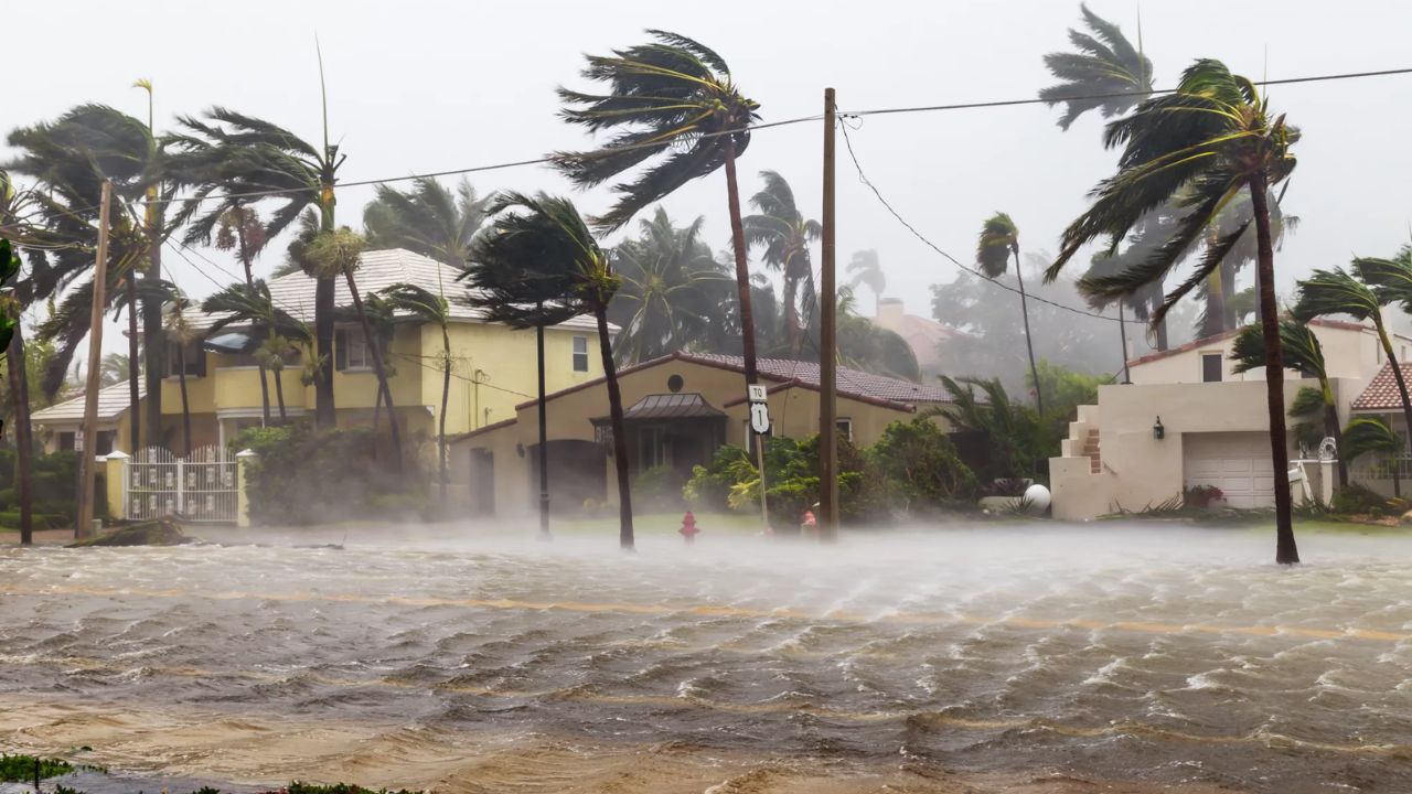
While damaging winds remain the primary severe-weather concern, heavy rainfall could create dangerous flooding in some communities.
The strongest thunderstorms could produce rainfall rates approaching 2.5 inches per hour.
That becomes particularly concerning because portions of the Northeast, Ohio Valley and Southeast have already experienced significant rainfall.
A Level 1 out of 4 flash flood risk is in place across large portions of those regions through Saturday.
Cities including New York City, Washington, D.C., Charlotte and Atlanta are among the areas that could experience periods of heavy rain.
Most locations are expected to receive approximately 0.5 to 1 inch of rainfall, but localized totals could reach 1 to 2 inches or more where thunderstorms repeatedly move over the same area.
I-95 Corridor Faces Severe Storm Risk
The NOAA Storm Prediction Center has placed part of the Northeast and Mid-Atlantic under a Level 2 out of 5 risk for severe thunderstorms beginning Friday afternoon.
The risk extends from southwestern Connecticut and New York’s Lower Hudson Valley through eastern Pennsylvania, parts of New Jersey and the Delmarva Peninsula.
That includes a large portion of the I-95 corridor between New York City and Washington, D.C. Forecasters are particularly concerned about strong wind gusts as thunderstorms develop and move through the region.
Some Areas Could Face Dangerous Heat Instead
Not everyone along the East Coast will experience significant rainfall.
Communities that remain outside the strongest storms could instead face hot and humid conditions, with heat alerts already issued from Philadelphia to Boston.
Heat index values could rise above 100 degrees in some locations, and the alerts may continue into Saturday.
That creates a challenging weekend weather pattern in which some communities could experience dangerous heat while others deal with thunderstorms and flooding.
Recent Rainfall Could Increase Flooding Risk
The threat is especially concerning in areas that have already experienced above-average rainfall this year.
For example, Bridgeport, Connecticut, has recorded more than 7 inches above its average rainfall, while Albany, New York, is more than 5 inches above average.
Saturated ground leaves less capacity to absorb additional rainfall, meaning even a relatively short period of intense thunderstorms could cause water to accumulate rapidly.
Residents across the Northeast and Mid-Atlantic should remain alert to changing weather conditions through the weekend, particularly during periods of repeated heavy thunderstorms.
Are you expecting severe storms or heavy rain in your area this weekend? Share your local weather conditions and storm experience in the comments below.