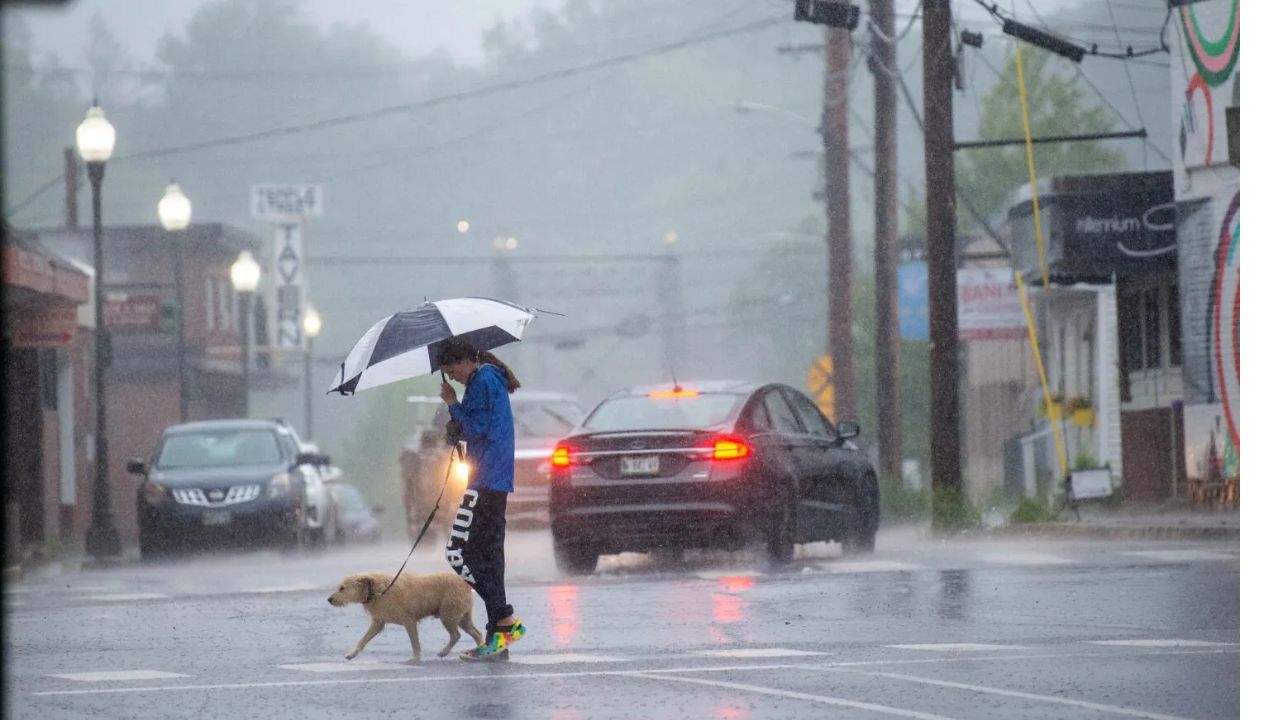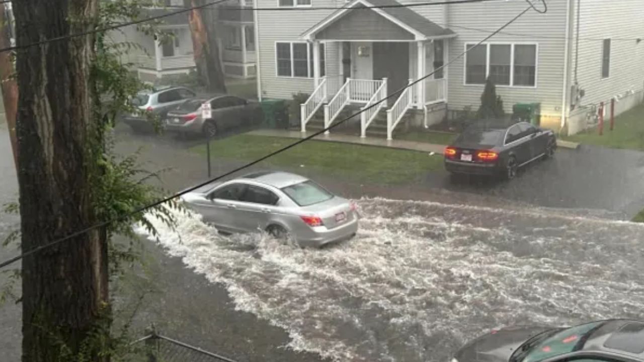
Boston, Massachusetts — Strong thunderstorms and heavy rain swept across Massachusetts and parts of New England on Monday, prompting flash flood warnings in several states and causing localized flooding that temporarily closed roads.
Forecasters warned that repeated downpours could continue to create hazardous travel conditions, particularly in communities that were already soaked by last week’s rainfall.
The storm system moved through southern New England from the morning into the evening, bringing widespread rain along with pockets of intense thunderstorms.
Flash Flood Warnings Issued Across Multiple States
Weather officials issued flash flood warnings for portions of Massachusetts, New Hampshire, and Connecticut as heavy rain intensified throughout the day.
Most communities were expected to receive between 0.75 and 2 inches of rainfall, but isolated locations where storms repeatedly tracked over the same area had already recorded more than 3 inches by Monday afternoon.
Meteorologists warned that poor drainage areas, urban streets, and locations with already saturated ground faced the greatest risk of flash flooding as additional rain continued to fall.
Residents were urged to remain alert for rapidly changing conditions and avoid driving through flooded roadways.
Flooded Road Forces Temporary Closure in Massachusetts
The heavy rainfall quickly affected travel in parts of central Massachusetts.
According to the Massachusetts Department of Transportation, Merriam Avenue near the Route 2 interchange between Leominster and Fitchburg was temporarily closed Monday morning after floodwaters covered the roadway.
The closure lasted for approximately one hour before conditions improved enough for traffic to resume.
Officials continued monitoring other roads throughout the day as showers and thunderstorms persisted across the region.
Gusty Winds Added to Storm Impacts
In addition to heavy rain, forecasters warned of southwest wind gusts between 20 and 35 mph across much of the region.
Some thunderstorms also had the potential to produce even stronger wind gusts, particularly across eastern and southeastern Massachusetts, where brief breaks of sunshine could provide additional energy for storm development.
While widespread severe weather was not expected, isolated stronger storms were capable of producing damaging wind gusts and rapidly reducing visibility during periods of heavy rainfall.
Indiana Weather Update: Dry, Warm Days Continue Before Rain and Storm Chances Return by Thursday
Pleasant Weather Returns Briefly on Tuesday
After Monday’s storm system exits, conditions are expected to improve significantly.
Forecasters say sunshine and lower humidity will return on Tuesday, with afternoon temperatures climbing into the low to mid-80s.
The combination of comfortable temperatures and drier air is expected to make Tuesday the most pleasant day of the week, offering a short break from the recent stretch of wet and humid weather.
More Showers and Thunderstorms Expected Later This Week
The quieter weather is not expected to last long.
Meteorologists say humidity will increase again by late Wednesday, bringing another unsettled weather pattern that is forecast to continue through the end of the week and into next weekend.
Although it is not expected to rain continuously, residents should prepare for periodic rounds of showers and thunderstorms, especially during the afternoon and evening hours.
Temperatures are forecast to remain in the 80s to low 90s, accompanied by noticeably higher humidity, creating warm and sticky conditions across much of New England.
Officials encourage residents to continue monitoring weather forecasts throughout the week, particularly if additional heavy rainfall develops over areas already vulnerable to flooding.
Has the storm impacted your area with flooding or severe weather? Share your experience and let us know how conditions are where you live in the comments below.