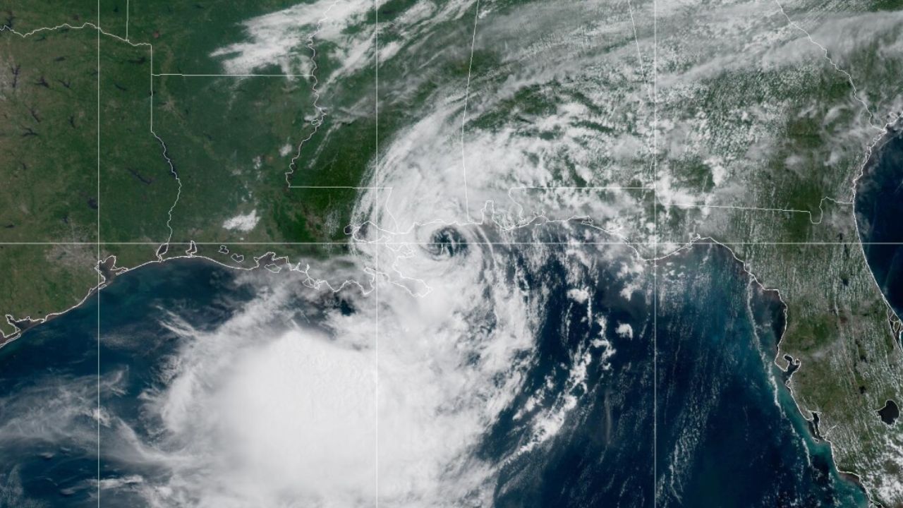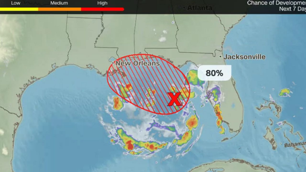
Miami, Florida — Communities along the northern and eastern Gulf Coast are preparing for heavy rain, gusty winds and possible flooding after Tropical Depression Two developed in the northeastern Gulf of Mexico. Forecasters say the system is expected to strengthen into Tropical Storm Bertha as early as Sunday night or Monday, increasing the threat of hazardous weather across parts of the Gulf Coast.
The National Hurricane Center is closely monitoring the system as it slowly moves north-northwest over warm Gulf waters, with additional strengthening possible before it nears the coast later this week.
Tropical Storm Bertha Could Form Soon
Meteorologists expect Tropical Depression Two to gain strength over the next 24 hours. If sustained winds reach tropical storm intensity, the system will officially be named Tropical Storm Bertha.
A Hurricane Hunter aircraft is scheduled to investigate the storm, collecting critical data on wind speeds, atmospheric pressure and surrounding weather conditions. The information will help forecasters improve track and intensity forecasts over the coming days.
Heavy Rain Could Trigger Flash Flooding
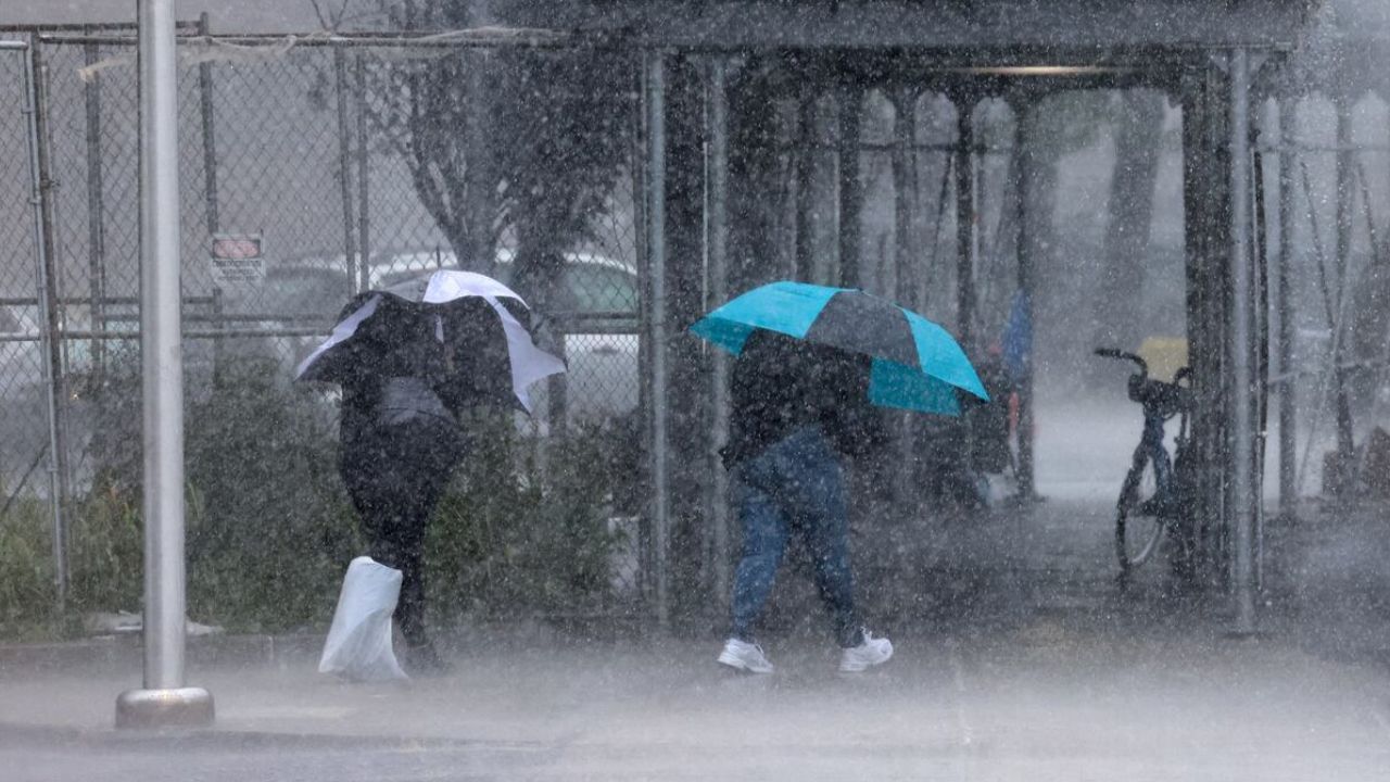
The greatest concern for many Gulf Coast communities is expected to be heavy rainfall and flash flooding.
Forecasters predict widespread rainfall totals of 2 to 4 inches, while the strongest thunderstorms could produce isolated totals of up to 8 inches.
Even if the storm’s center remains offshore, bands of tropical rain are expected to move inland, raising the risk of localized flooding in low-lying and poor-drainage areas.
Residents are encouraged to monitor local forecasts and avoid driving through flooded roadways.
Tropical Storm Watch Issued for Florida Panhandle
A Tropical Storm Watch has been issued for portions of the Florida Panhandle, stretching from the Ochlockonee River west to the Florida-Alabama border.
Forecasters say tropical storm conditions are possible within the next 36 to 48 hours, with coastal areas likely to experience:
- Wind gusts exceeding 40 mph
- Heavy downpours that could reduce visibility
- Rough surf and dangerous marine conditions
Residents in the watch area should review emergency plans and stay updated on the latest forecasts as conditions evolve.
Storm Surge and Gusty Winds Also Expected
In addition to heavy rainfall, officials warn that storm surge of 1 to 3 feet above normal tide levels is possible along Florida’s Big Bend, particularly from Indian Pass to Chassahowitzka.
While the storm is currently encountering some dry air, forecasters say relatively light wind shear could still allow gradual strengthening before the system approaches portions of Alabama, Mississippi and Louisiana by midweek.
Because steering currents remain weak, the depression is expected to move slowly, potentially prolonging periods of heavy rain along parts of the Gulf Coast.
The developing system also marks the first significant tropical activity in the Atlantic Basin in more than a month. The last named storm, Tropical Storm Arthur, formed in mid-June and quickly made landfall near Galveston, Texas.
Although NOAA has forecast a below-average Atlantic hurricane season due in part to the influence of El Niño, forecasters emphasize that even a quieter season can produce dangerous storms capable of causing flooding, coastal impacts and travel disruptions.
Do you live along the Gulf Coast? How are you preparing for Tropical Depression Two and the potential arrival of Tropical Storm Bertha? Share your thoughts and preparations respectfully in the comments below.