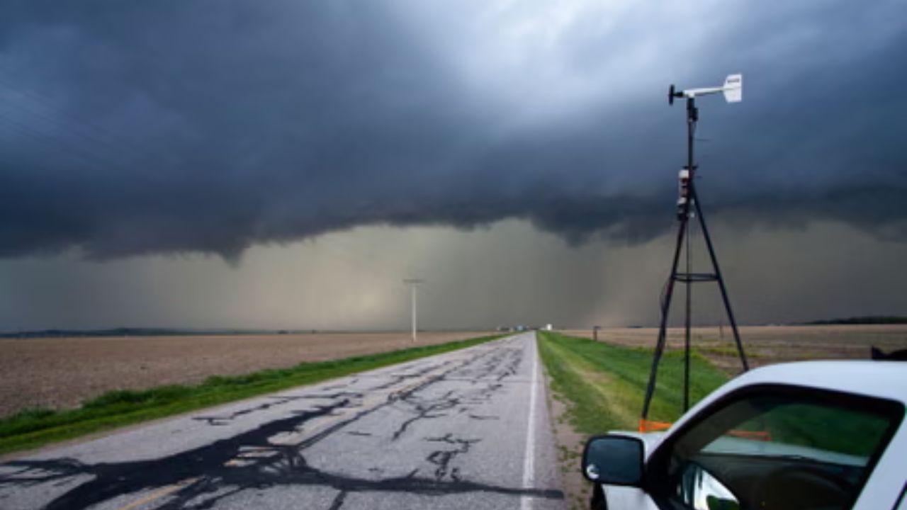
Great Plains and Midwest, United States — Millions of people across the northern United States are being urged to stay weather-aware as forecasters monitor the potential for a multi-day severe weather outbreak that could bring damaging winds, large hail, and possible tornadoes beginning this weekend.
Meteorologists say a powerful change in the weather pattern is expected to unfold over the coming days, creating favorable conditions for repeated rounds of strong to severe thunderstorms across portions of the Great Plains and Upper Midwest.
While the exact timing and location of the most intense storms remain uncertain, weather experts say residents should closely monitor updated forecasts as confidence continues to grow.
Powerful Weather Pattern Expected to Develop
According to forecasters, a brief break in active weather is expected before a stronger storm system begins taking shape.
Late Saturday, an energetic dip in the jet stream is forecast to move out of the western United States and into the northern Plains and Upper Midwest.
As that system interacts with warm, moisture-rich air already in place, atmospheric conditions are expected to become increasingly favorable for severe thunderstorm development.
Meteorologists say the combination of strong upper-level winds, unstable air, and abundant Gulf moisture could support multiple rounds of severe storms through at least Tuesday.
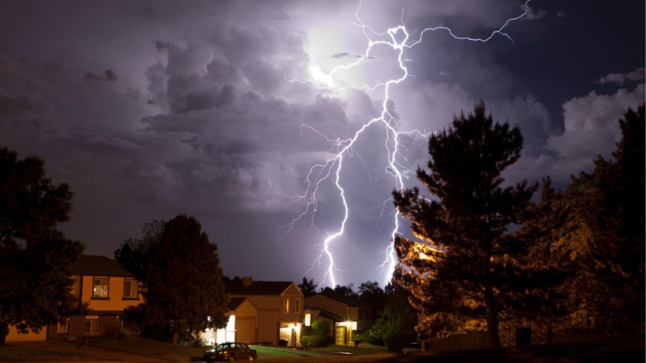
Damaging Winds, Large Hail, and Tornadoes Possible
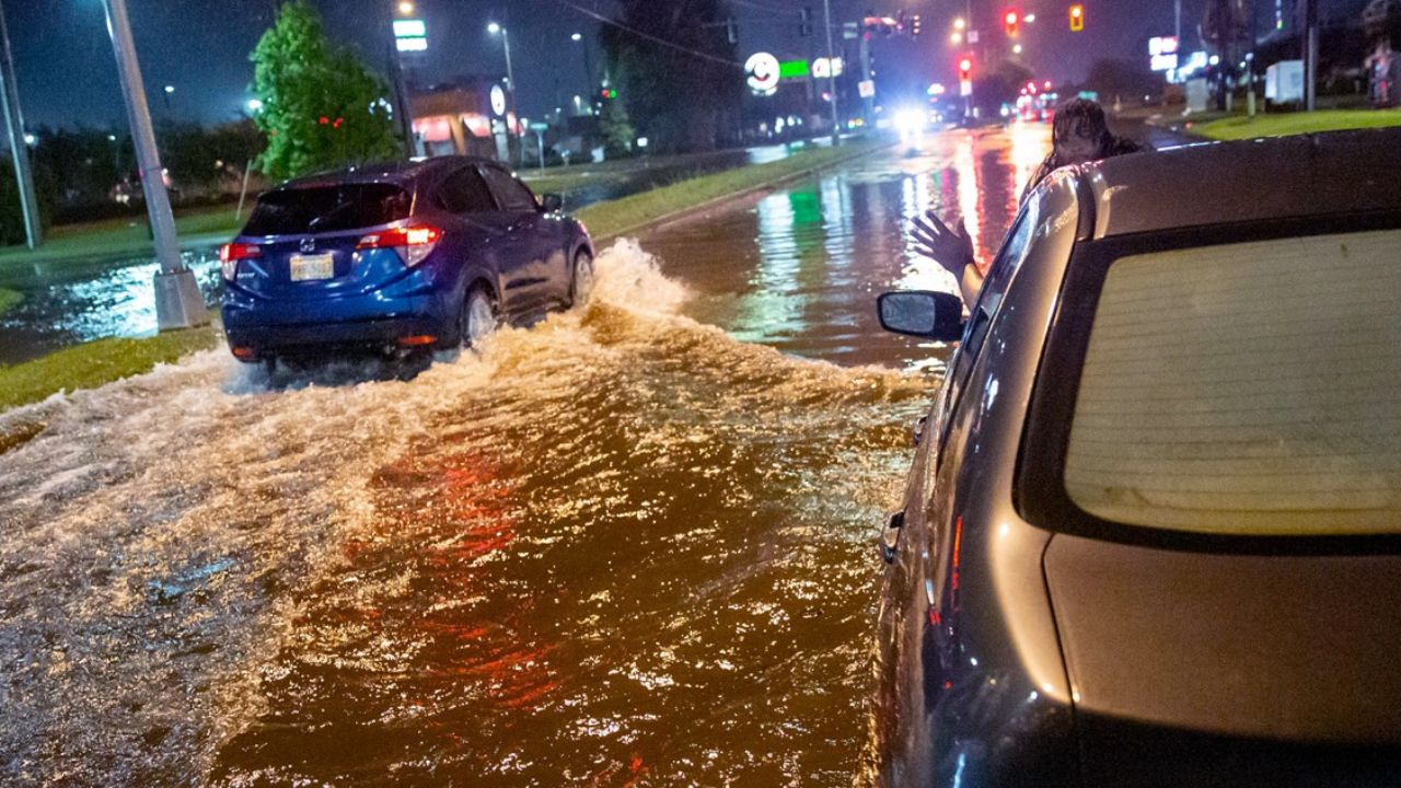
Forecasters say several severe weather hazards may accompany the developing storm system.
The primary threats include:
- Damaging straight-line winds
- Large hail
- Isolated tornadoes
The exact mix of hazards will depend on how individual storm systems develop over the coming days.
Because forecast models continue to show some differences regarding the timing and placement of the strongest storms, officials say it’s still too early to determine which communities will face the greatest impacts.
However, confidence remains high that at least some areas across the northern Plains and Midwest will experience severe thunderstorms.
Severe Weather Risk Already Increasing
The Storm Prediction Center has already highlighted portions of the region for severe weather this weekend.
A Level 2 out of 5 severe weather risk has been issued for parts of North Dakota and South Dakota on Saturday as conditions begin becoming more favorable for storm development.
Meanwhile, some communities are already experiencing active weather.
The National Weather Service has issued a Severe Thunderstorm Watch for areas including Green Bay, Wisconsin, as storms continue to move through portions of the Upper Midwest.
Additional watches, warnings, and outlook updates may be issued as the storm system becomes better organized.
Forecast Could Change as Storm System Evolves
Weather experts caution that several details remain uncertain because the storm system is still developing.
100-Degree Heat Is Coming: These 5 States Face the Highest Risk This Weekend
Small changes in the track of the jet stream or the timing of individual disturbances could significantly alter where the strongest thunderstorms ultimately form.
Forecasters will continue refining predictions as new weather data becomes available over the next several days.
Residents across the potential impact area are encouraged to review emergency plans, ensure they have multiple ways to receive weather alerts, and remain prepared for rapidly changing conditions.
Residents Urged to Stay Weather-Aware
With the threat expected to continue into early next week, officials recommend monitoring local forecasts and remaining alert for watches and warnings.
Severe thunderstorms can develop quickly, producing dangerous wind gusts, large hail capable of damaging vehicles and property, and isolated tornadoes with little advance notice.
As confidence grows in the evolving forecast, emergency managers and meteorologists will continue providing updated information to help communities prepare for any severe weather that develops.
Is your community included in the potential storm threat? What steps do you take to prepare for severe weather, hail, or tornadoes? Share your storm preparedness tips and experiences in the comments below.