New York City, New York — After a brief break from the storms that drenched much of the eastern United States earlier this week, another weather system is expected to bring rounds of heavy rain, thunderstorms, and the potential for flash flooding across the Northeast and surrounding regions through the weekend.
Forecasters say saturated ground from recent rainfall could increase the flood threat as another low-pressure system moves east from the Plains toward the Great Lakes before crossing the Northeast.
Residents in several states are being urged to stay alert for changing weather conditions, especially in areas that have already experienced heavy rainfall this week.
Storm System to Spread Rain Across the East
According to forecasters, the developing low-pressure system will move into the Great Lakes on Thursday evening before tracking into the Northeast by Friday.
As the system advances, a cold front stretching from New York through the Ohio Valley and Midwest will become the primary focus for showers and thunderstorms.
Meteorologists expect rain and thunderstorms to become more widespread Friday afternoon as warm, moisture-rich air interacts with the advancing front.
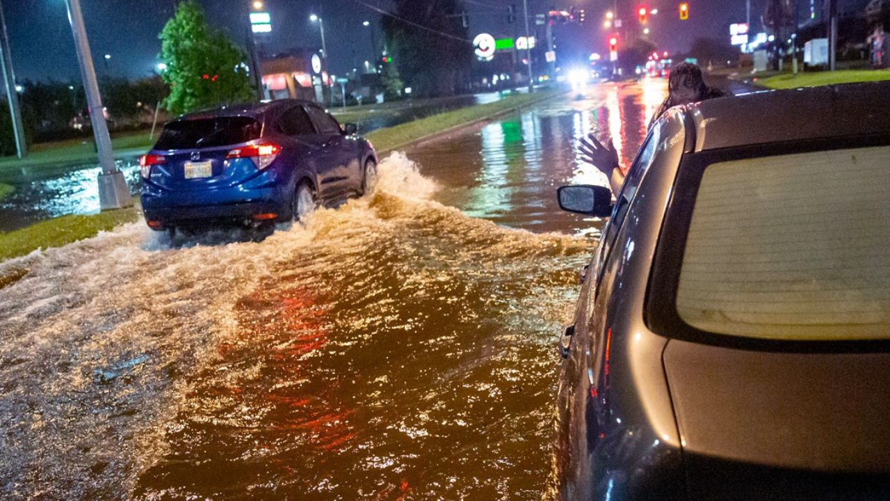
Some storms could produce intense rainfall over short periods, increasing the risk of localized flooding.
Flash Flood Threat Expands Into the Weekend
Because many areas already have saturated soils, even moderate additional rainfall could quickly lead to flooding. A Level 2 out of 4 flash flood risk has been issued for portions of the Ohio Valley on both Friday and Saturday.
Cities included within the threat area include:
- St. Louis, Missouri
- Indianapolis, Indiana
- Cincinnati, Ohio
- Louisville, Kentucky
Emergency officials advise residents in flood-prone areas to monitor forecasts closely and avoid driving through flooded roadways if heavy rain develops.
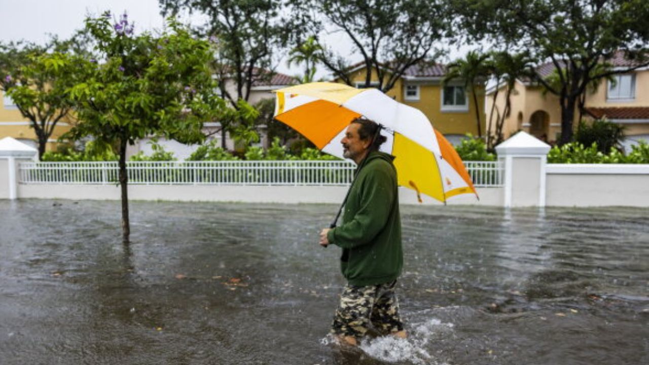
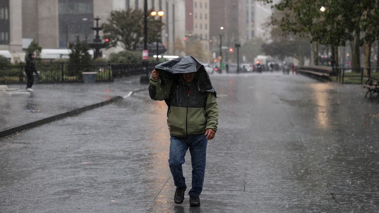
Mid-Atlantic and Northeast Expected to See Heavy Downpours
By Saturday, the storm system is expected to move toward eastern Maine while its trailing cold front slows across the eastern United States.
As moisture streams northward from both the Gulf of Mexico and the Atlantic Ocean, conditions will become increasingly favorable for additional showers and thunderstorms.
Rain is expected to develop across much of the Mid-Atlantic and Northeast during the afternoon and evening.
Areas expected to experience periods of heavy rain include:
- Cincinnati, Ohio
- Washington, D.C.
- Philadelphia, Pennsylvania
- New York City, New York
Some thunderstorms may repeatedly move across the same locations, increasing the potential for localized flash flooding.
Several Inches of Rain Possible
Forecast models indicate widespread rainfall totals of 1 to 2 inches are possible from southern Indiana through West Virginia, Pennsylvania, and New Jersey by early Sunday.
However, where thunderstorms repeatedly develop over the same communities, localized rainfall totals could exceed 2 to 3 inches.
Such rainfall could overwhelm drainage systems, cause rapid rises on small streams, and produce flooding in low-lying or urban areas.
Officials encourage residents to remain weather-aware throughout the weekend as conditions can change quickly.
100-Degree Heat Is Coming: These 5 States Face the Highest Risk This Weekend
Drier Weather Expected Next Week
Although a few lingering showers may continue across portions of the Northeast on Sunday, forecasters expect the weather pattern to improve as the storm system moves away.
By Monday, much of the region is forecast to return to drier and more seasonable conditions, providing welcome relief after several rounds of unsettled weather.
Until then, meteorologists continue to monitor the evolving storm system and advise residents to prepare for periods of heavy rain, possible travel disruptions, and localized flooding through the weekend.
Is your area expecting heavy rain this weekend? What steps do you take to prepare for flash flooding or severe weather? Share your thoughts and experiences respectfully in the comments below.