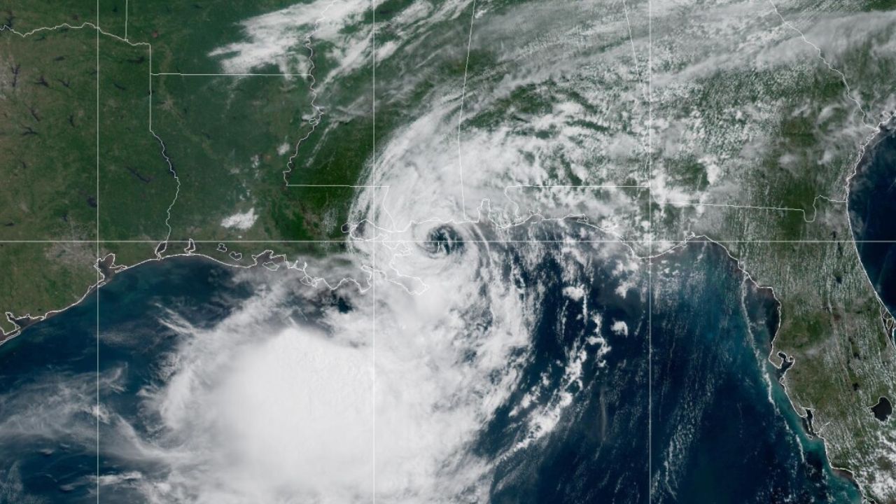
St. Bernard Parish, Louisiana — Tropical Storm Bertha made landfall along the Louisiana coast on Wednesday, bringing 45 mph winds, storm surge and widespread precautionary closures as communities across the Gulf Coast prepared for rough weather.
According to the National Hurricane Center, Bertha came ashore in St. Bernard Parish, about 40 miles east of New Orleans, becoming the second named storm of the 2026 Atlantic hurricane season to make an impact in the United States.
Although forecasters say the storm is not expected to cause catastrophic damage, officials continue to warn residents about gusty winds, coastal flooding and dangerous beach conditions.
Bertha Brings Strong Winds to the Gulf Coast
At the time of landfall, Bertha was packing maximum sustained winds of 45 mph, with tropical storm-force winds extending up to 160 miles from the center.
The National Hurricane Center said the storm is expected to maintain similar strength as it moves westward toward the upper Texas coast before gradually weakening inland.
A 44 mph wind gust was recorded at New Orleans Lakefront Airport, while powerful winds were also reported across coastal communities.
In Panama City Beach, Florida, strong gusts knocked a Waffle House sign onto a parked vehicle, highlighting the storm’s reach beyond Louisiana.
Storm Surge and Closures Affect Coastal Communities
Authorities issued Tropical Storm Warnings stretching from Alabama to Louisiana, including the New Orleans metropolitan area.
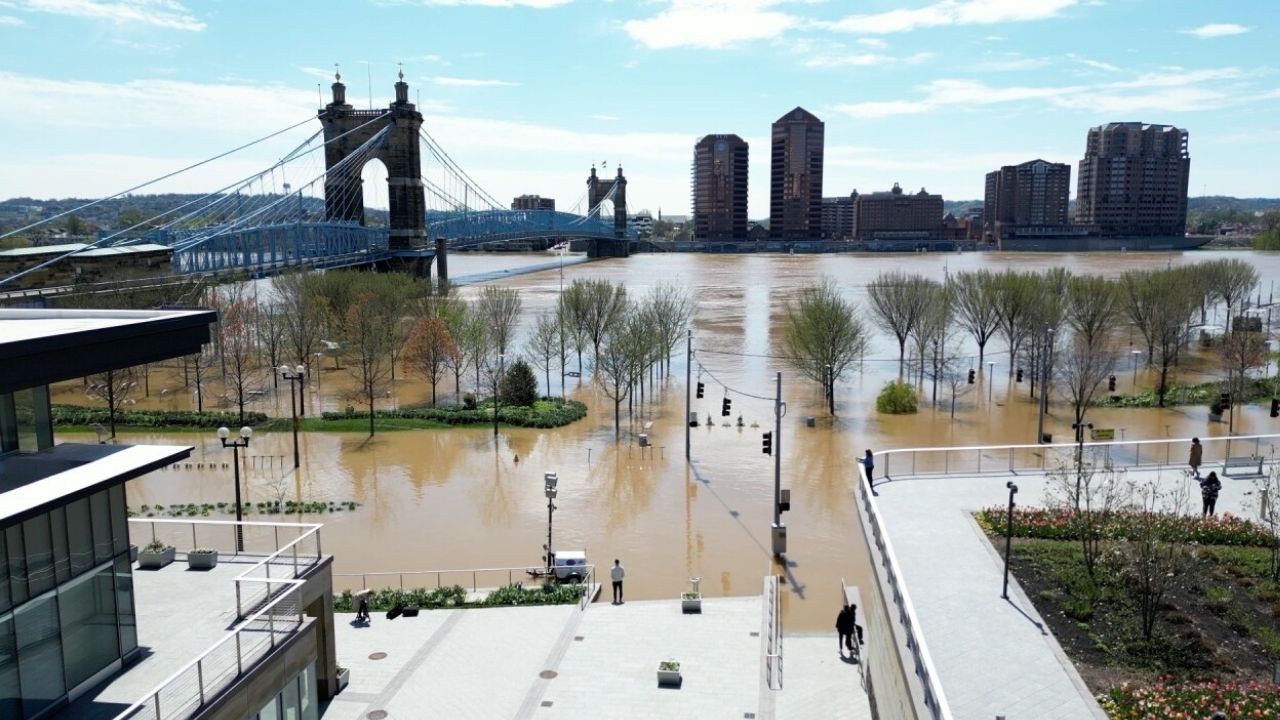
As Bertha approached, officials closed parks, piers, beaches and several low-lying roads to protect residents from storm surge and hazardous conditions.
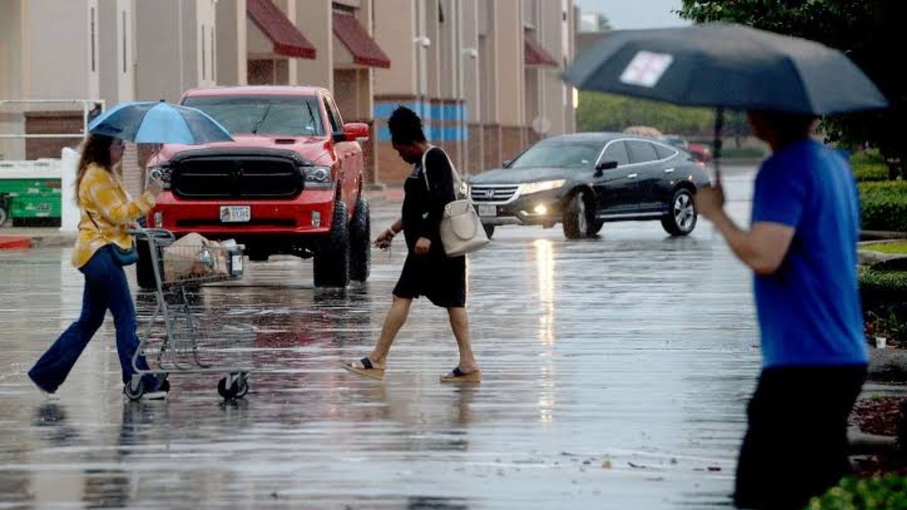
Forecasters warned that storm surge of up to 3 feet could affect portions of Louisiana and Alabama, while rainfall totals of 1 to 4 inches were expected, with isolated higher amounts possible.
Fortunately, meteorologists noted that the storm’s heaviest rainfall remained mostly offshore, significantly reducing the risk of widespread inland flooding.
Flash Flood Risk Grows: Mid-Atlantic and Carolinas Could See Inches of Rain Through the Weekend
Officials Urge Residents to Stay Prepared
Louisiana State Climatologist Jay Grymes said Bertha is unlikely to leave behind widespread damage, adding that coastal communities should be able to manage the storm’s impacts.
Governor Jeff Landry also described the latest forecast as encouraging but reminded residents to remain prepared for localized flooding and changing weather conditions.
Meanwhile, emergency officials in Louisiana, Mississippi and Florida opened sandbag distribution sites to help homeowners protect their properties ahead of the storm.
Double-red flag warnings were also posted at several Gulf Coast beaches, keeping swimmers out of the water because of dangerous surf and rip currents.
Bertha Expected to Weaken as It Moves Toward Texas
The National Hurricane Center expects Bertha to continue weakening over the next couple of days as it tracks inland across the Gulf Coast.
Forecasters predict the storm will move toward Texas, where it is expected to dissipate by Friday.
Bertha follows Tropical Storm Arthur, which brought heavy rainfall to parts of the southeastern United States earlier this hurricane season. Some Mississippi communities are still recovering from flooding caused by Arthur, prompting officials to closely monitor Bertha’s rainfall.
Elsewhere, severe storms also triggered reports of tornadoes from Ohio to New Jersey, while flash flooding caused water rescues and infrastructure damage in parts of West Virginia earlier this week.
As Gulf Coast communities continue monitoring Bertha’s progress, weather officials urge residents to stay informed, avoid flooded roads and follow local emergency guidance until the storm has fully passed.
Are you in an area affected by Tropical Storm Bertha? How is the weather impacting your community? Share your experiences and stay safe by following local emergency updates.