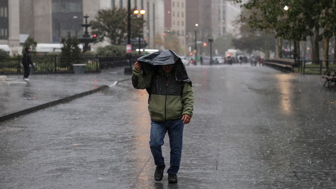
New York City, New York — After a significant severe weather outbreak swept through portions of the Midwest on Wednesday, forecasters are warning that another round of dangerous storms will impact parts of the eastern and central United States over the coming days.
The evolving weather pattern is expected to bring strong winds, torrential rainfall, flash flooding, hail, and the potential for tornadoes across multiple regions, with millions of residents facing the threat of disruptive weather through the weekend.
Meteorologists say the storm activity will shift from the Northeast and Southeast on Thursday before expanding back into the Plains and Midwest during the weekend.
Strong Winds Expected Across Northeast and Appalachians
A cold front moving into the Northeast on Thursday is expected to generate unusually strong winds for the month of June. Even in areas that do not experience thunderstorms, wind gusts between 40 and 50 mph could create hazardous conditions.
The strongest winds are expected from Ohio and northern Kentucky through the Appalachian region, where falling tree limbs and flying debris could become concerns.
Residents are being urged to secure outdoor furniture, trash bins, and other loose objects that could be blown around by the powerful gusts.
Forecasters also warn that scattered power outages may develop as winds increase throughout the day.
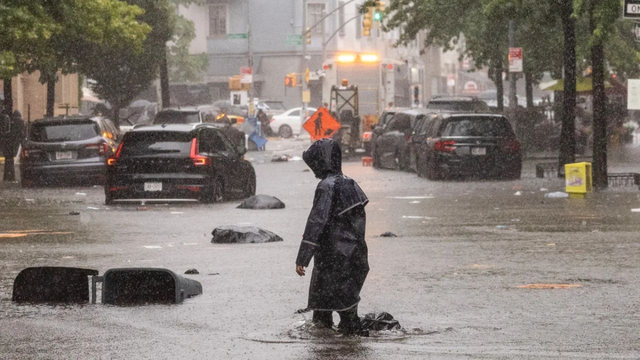
Heavy Rain and Flash Flooding Threat Spread Across Multiple States
In addition to damaging winds, several regions are expected to experience intense thunderstorms capable of producing heavy rainfall in a short amount of time.
One area of concern stretches across New England, eastern New York, northeastern Pennsylvania, and northern New Jersey, where storms may bring localized flooding and dangerous lightning.
Another corridor extends from southern Missouri and northern Arkansas eastward toward the Delmarva Peninsula and portions of coastal Virginia and New Jersey.
These storms could produce torrential downpours that overwhelm drainage systems and create flash flooding, particularly in urban areas and locations that have already received recent rainfall.
Forecasters caution that travel conditions could deteriorate rapidly during periods of heavy rain.
Southern States Face Additional Severe Weather Threats
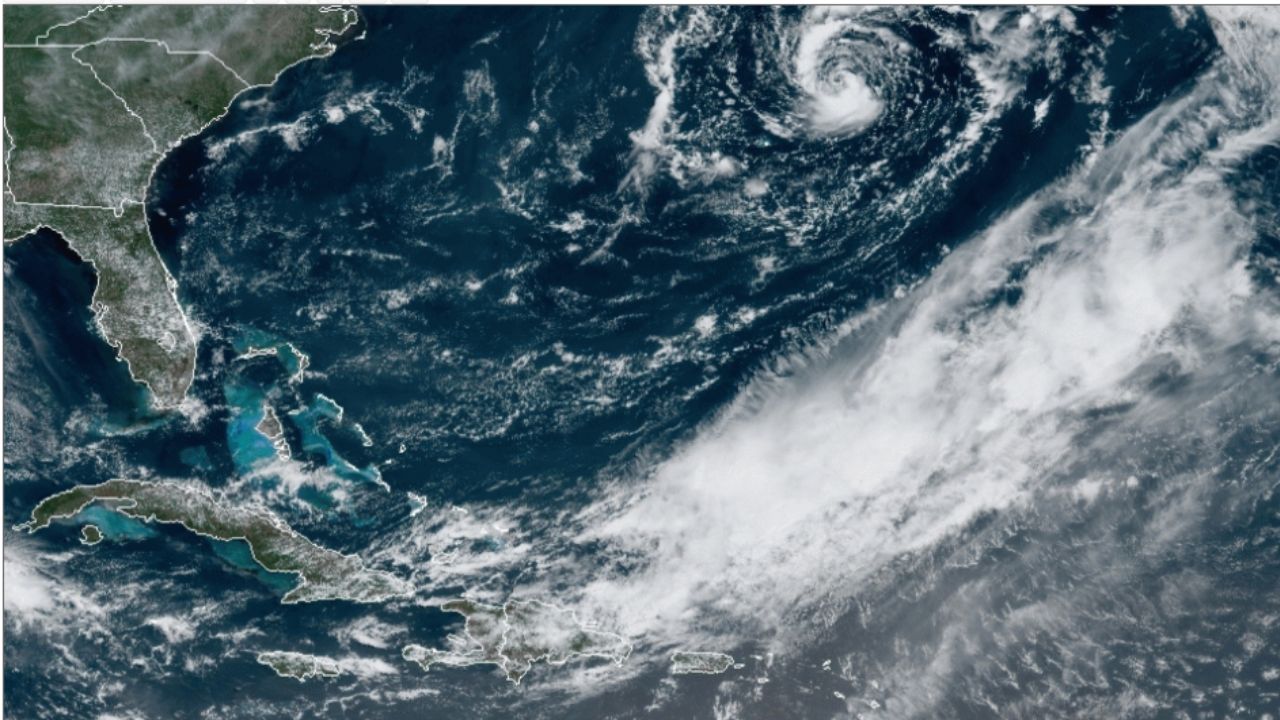
A separate zone of severe weather is expected to develop farther south as the remnants of Arthur move inland.
Areas from southeastern Louisiana through central and southern Georgia could experience damaging wind gusts, isolated tornadoes, and heavy rainfall capable of producing flash flooding.
Coastal communities from eastern Louisiana to the Florida Panhandle may also face the risk of waterspouts over nearby waters.
While not every community will experience severe weather, meteorologists say residents across the Gulf Coast and Southeast should remain alert for rapidly changing conditions.
Weekend Storm Threat Returns to Plains and Midwest
Attention will then turn to the nation’s midsection this weekend as another powerful storm system emerges from the Rocky Mountains.
Swimming Advisories Issued at Multiple New Jersey Beaches After Dangerous Bacteria Levels Detected
Meteorologists expect warm, humid air across the southern Plains to collide with cooler, drier air pushing southward from the Midwest, creating favorable conditions for widespread thunderstorm development.
The greatest threat is expected to develop across portions of Nebraska and Kansas on Saturday before shifting toward the Ohio Valley on Sunday.
Forecasters currently expect damaging straight-line winds and large hail to be the primary hazards. However, weather experts caution that a few tornadoes may also develop if atmospheric conditions become more favorable.
Flooding Concerns Could Increase Through Weekend
One of the biggest concerns with this prolonged severe weather pattern is the potential for repeated rounds of rainfall over the same locations.
Areas that receive heavy rain during the week could become increasingly vulnerable to flooding as additional storms arrive over the weekend.
Meteorologists warn that where downpours repeatedly track across the same region, the risk of flash flooding will rise significantly.
Residents in flood-prone areas are encouraged to monitor local forecasts closely and be prepared for changing weather conditions as this active storm pattern continues across much of the country.
Are you expecting severe weather in your area this week? What preparations do you make when damaging winds, flooding, or tornado threats are forecast? Share your thoughts and safety tips in the comments below.