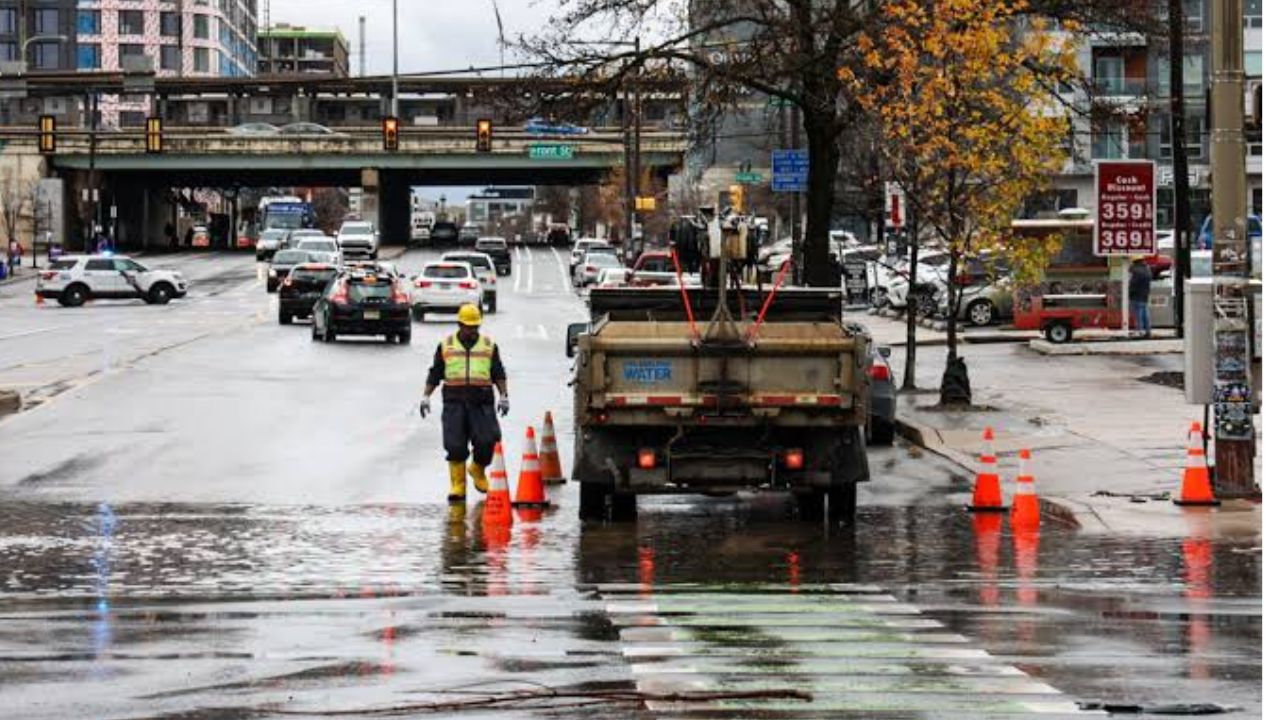
Philadelphia, Pennsylvania — Residents across the Philadelphia region are being urged to stay alert after the National Weather Service (NWS) in Mount Holly issued a Flash Flood Warning for parts of southeastern Pennsylvania and central New Jersey as powerful thunderstorms continue to bring torrential rainfall.
The warning remains in effect until 11:30 p.m. EDT, with forecasters cautioning that rapidly rising water could create dangerous travel conditions and flash flooding in both urban and low-lying areas.
Heavy Rainfall Expected to Continue Through the Evening
According to the National Weather Service, Doppler radar detected severe thunderstorms moving across the region around 7:30 p.m. EDT.
Meteorologists estimated that between 0.5 and 1 inch of rain had already fallen, with additional rainfall expected to develop as the storms continue.
Forecasters warned that rainfall rates could reach 1 to 2 inches per hour, with another 0.5 to 1.5 inches of rain possible before the storms move out of the area.
The combination of saturated ground and intense rainfall could quickly overwhelm drainage systems, leading to flash flooding with little warning.
Communities at Greatest Risk of Flash Flooding
The warning covers northern Philadelphia, southeastern Bucks County, and southeastern Montgomery County in Pennsylvania, along with northwestern Burlington County and southwestern Mercer County in New Jersey.
Communities expected to experience flooding include:
- Philadelphia
- Trenton
- Bensalem
- Florence
- Burlington
- Bristol
- Riverside
- Hatboro
- Jenkintown
- Bordentown
- Beverly
- Rockledge
Officials also advised anyone attending the St. Michaels Fair in Levittown to seek shelter as the storms move through the area.
Major Highways Could Become Dangerous
Transportation officials are warning drivers that several heavily traveled roadways may experience flooding during the evening.
Areas of concern include:
- Interstate 295 in New Jersey between mile markers 58 and 60
- Interstate 195 near mile marker 0
- Interstate 95 in Pennsylvania between mile markers 30 and 40
- The Pennsylvania Turnpike between mile markers 339 and 359
Drivers should expect ponding on roadways, reduced visibility and the possibility of roads becoming impassable if rainfall continues at the forecast intensity.
Officials Urge Residents to Avoid Flooded Roads
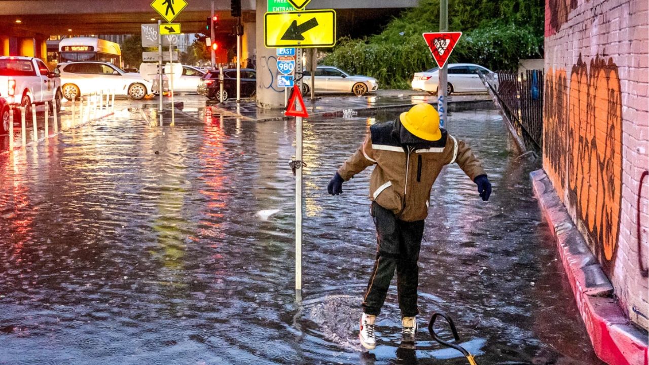
Emergency officials are reminding residents that flash floods can develop rapidly, especially in urban neighborhoods, underpasses, small streams and low-lying areas.
The National Weather Service continues to stress its well-known flood safety message:
“Turn around, don’t drown.”
Officials note that most flood-related deaths occur in vehicles, often when drivers attempt to cross water-covered roads without knowing how deep the water is.
Residents are encouraged to monitor weather updates throughout the evening, avoid unnecessary travel during heavy rain, and move to higher ground immediately if flooding develops near their location.
Are you experiencing heavy rain or flooding in your area? Share what conditions are like where you are, and help keep others informed by reporting safely from your community in the comments.