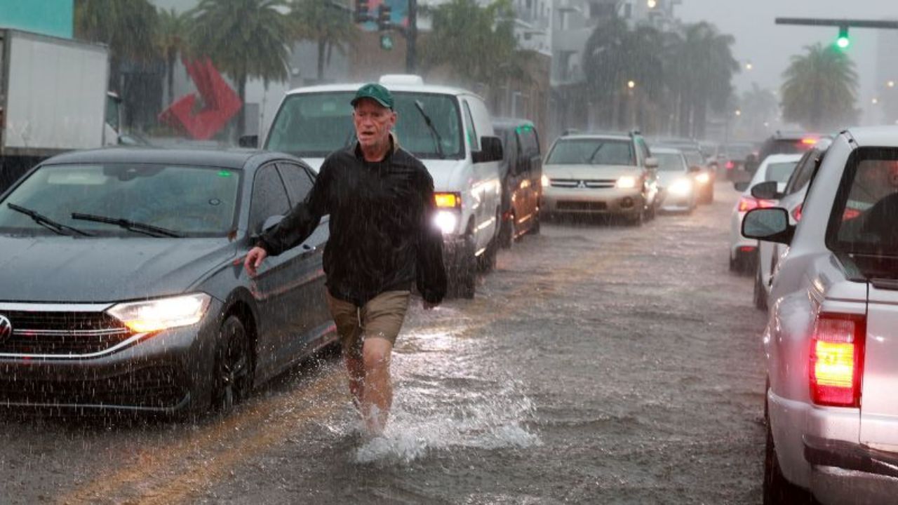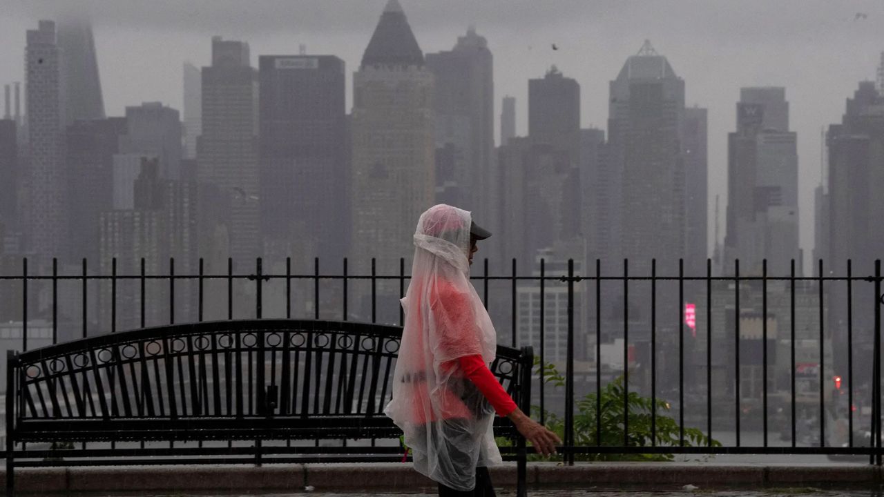
New York City, New York — A rare and unusually strong storm system for late July is expected to sweep across the Northeast this week, bringing days of heavy rain, thunderstorms, and a heightened risk of flash flooding. Forecasters warn that some communities could receive up to 12 inches of rainfall, raising concerns about flooded roads, overwhelmed drainage systems, and significant travel disruptions through Thursday.
Rare July Storm Set to Strengthen Across the Northeast
The storm is forecast to develop overnight Monday into Tuesday before expanding across a large portion of the eastern United States.
Rain and thunderstorms are expected to stretch from the Carolinas through New England, with weather conditions becoming increasingly dangerous as the system strengthens. While parts of the mid-Atlantic could experience severe thunderstorms, the primary concern farther north will be heavy, flooding rainfall.
Meteorologists say the storm is unusually strong for this time of year, making it one of the more significant weather events to affect the region during the final days of July.
Flash Flood Risk Expands Across Major Northeast Cities
Forecasters expect widespread heavy rainfall across much of New England through Wednesday, with several major metropolitan areas facing an elevated risk of flash flooding.
New York City, Boston, and Hartford, Connecticut, are all included in areas where heavy downpours could quickly overwhelm drainage systems.
In addition to persistent rain, coastal wind gusts of around 30 mph may create difficult travel conditions, particularly for drivers and those commuting near the shoreline.
Officials are urging residents to remain alert as rapidly changing weather conditions could lead to localized flooding with little warning.
Up to 12 Inches of Rain Possible in Some Areas
Most communities from Washington, D.C., through the Northeast into southern Maine are expected to receive 1 to 2 inches of rainfall by the time the storm ends.
However, the greatest rainfall totals are forecast across upstate New York and the Hudson Valley, where 2 to 4 inches of rain is expected.
Forecasters caution that repeated thunderstorms tracking over the same locations could dramatically increase rainfall amounts.
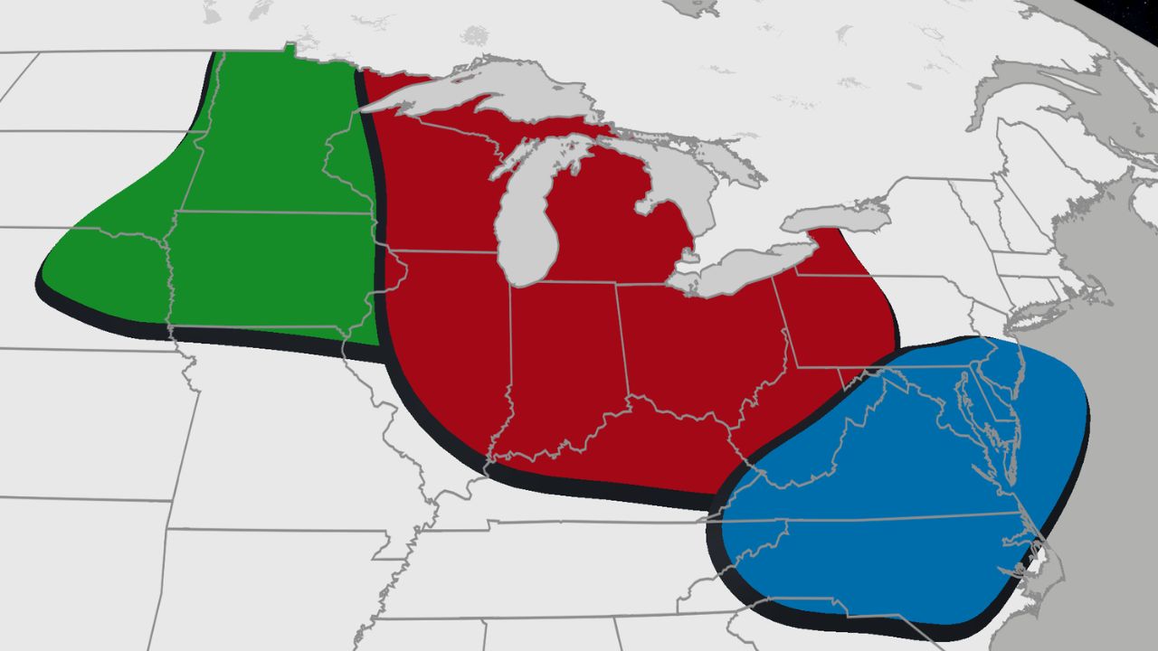
Indiana Weather Alert: Severe Storm Watch Issued for 39 Counties With 80 MPH Wind Threat
Localized totals approaching 12 inches are possible, especially where storms repeatedly develop over the same communities, creating the potential for dangerous flash flooding.
If the heaviest rainfall shifts toward New York City and portions of the Hudson Valley, officials warn that street flooding and subway flooding could become significant.
Travel Could Be Impacted Through Thursday
The combination of heavy rain, flooded roadways, and reduced visibility is expected to make travel difficult throughout much of the region.
Drivers along Interstates 95 and 87 could encounter hazardous conditions, particularly during periods of intense rainfall on Tuesday and Wednesday.
Even after the heaviest rain begins to ease, lingering showers through Thursday may continue causing delays and localized flooding before the storm gradually moves away Thursday night into Friday.
Residents are encouraged to monitor local forecasts, avoid driving through flooded roads, and prepare for possible changes in travel plans if heavy rainfall develops in their area.
With millions of people living across the storm’s projected path, weather officials continue to monitor the system closely as rainfall forecasts and flood risks may change over the coming days.
Are you expecting heavy rain where you live this week? Let us know how you’re preparing for the storm and share your thoughts in the comments below.