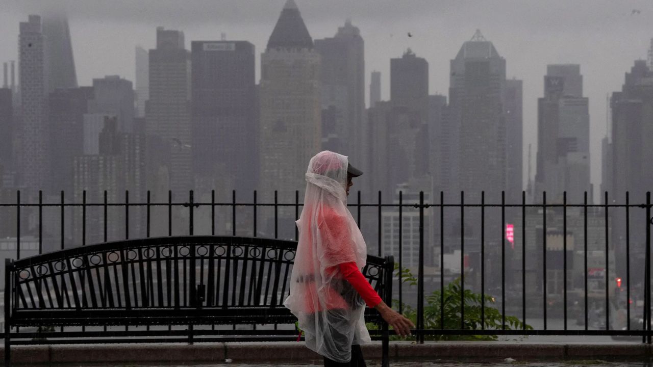
Florida — A broad non-tropical weather system developing over the Gulf of Mexico is expected to bring multiple days of heavy rain, flooding concerns and unsettled weather across Florida, even though forecasters say it is not currently a tropical storm.
Meteorologists are closely monitoring the sprawling system as it slowly organizes west of the Florida Peninsula. While it lacks the surface circulation needed to be classified as a tropical cyclone, it is already drawing deep tropical moisture into the state, setting the stage for periods of heavy rainfall.
Weather System Could Dump More Than 6 Inches of Rain
According to forecasters, the strongest impacts over the next several days are expected to come from repeated rounds of heavy rain rather than damaging winds.
Forecast models indicate the system will drift slowly northward over the Gulf of Mexico while pulling abundant tropical moisture across much of Florida.
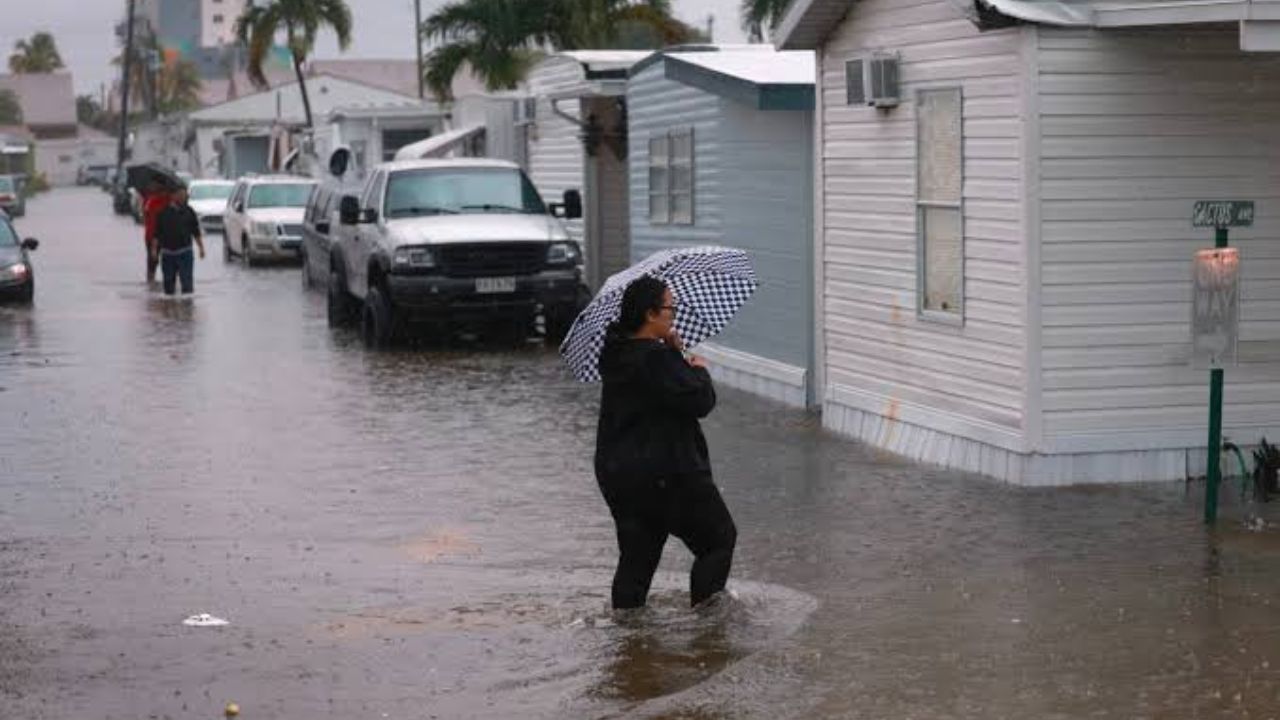
As rain bands rotate inland, some communities could receive 6 inches or more of rainfall, especially where storms repeatedly move over the same locations.
The greatest concern is localized flash flooding, particularly in low-lying and poor-drainage areas. Residents are encouraged to stay alert for any flood watches or warnings issued by the National Weather Service.
Could the System Become Tropical?
Although the system currently remains non-tropical, forecasters say there is still a low chance that it could gradually develop tropical characteristics.
Meteorologists explain that the disturbance is well organized in the upper atmosphere but lacks a defined circulation at the surface — one of the key requirements for tropical cyclone formation.
If development occurs, Tuesday appears to offer the best opportunity for the system to transition into a tropical depression or a weak tropical storm as it moves near the waters south of the Florida Panhandle.
However, current forecasts do not indicate significant strengthening.
Dry air surrounding the system and unfavorable upper-level winds are expected to limit its development.
Heavy Rain Expected Across Florida and Nearby States
Even if the system never earns a tropical name, it is expected to produce widespread weather impacts.
Forecasters say rain coverage should increase throughout Florida during the daytime as warm temperatures help fuel additional thunderstorms.
By the middle of the week, the slow-moving system could drift westward along the Gulf Coast, extending heavy rain into portions of neighboring Gulf Coast states.
Because the system is unusually broad, its impacts will stretch far from the center of circulation, meaning many areas could experience periods of rain even without being near the core of the disturbance.
Atlantic and Pacific Tropics Remain Active
Elsewhere in the tropics, forecasters say another disturbance previously being monitored in the Atlantic has weakened because of dry air and unfavorable upper-level winds, reducing the likelihood of development.
Some showers and gusty winds are still expected across the Cabo Verde Islands, but the system is no longer considered a significant tropical threat.
Meanwhile, several tropical disturbances continue moving across the eastern Pacific Ocean, although none currently pose a threat to land.
Forecasters are also monitoring the potential formation of future Pacific systems, including Fausto and Genevieve, while a separate area southwest of Hawaii is no longer expected to develop.
As Florida enters another active stretch of summer weather, residents are encouraged to keep monitoring the latest forecasts and be prepared for changing conditions, especially in areas vulnerable to flooding.
Are you seeing heavy rain or flooding where you live in Florida? Share your local conditions and stay safe by following updates from weather officials as this system continues to evolve.