Indianapolis, Indiana — Another stretch of unsettled weather is developing across central Indiana, with heavy rain, thunderstorms, flooding and isolated severe weather possible over the next several days. Forecasters are watching multiple rounds of storms that could keep already vulnerable areas at risk for additional flooding.
The unsettled pattern is expected to continue into the weekend before conditions gradually become drier early next week.
Thursday Brings More Storms and Flooding Risk
Thursday is expected to remain variably cloudy with additional chances for rain and thunderstorms, particularly during the afternoon and evening.
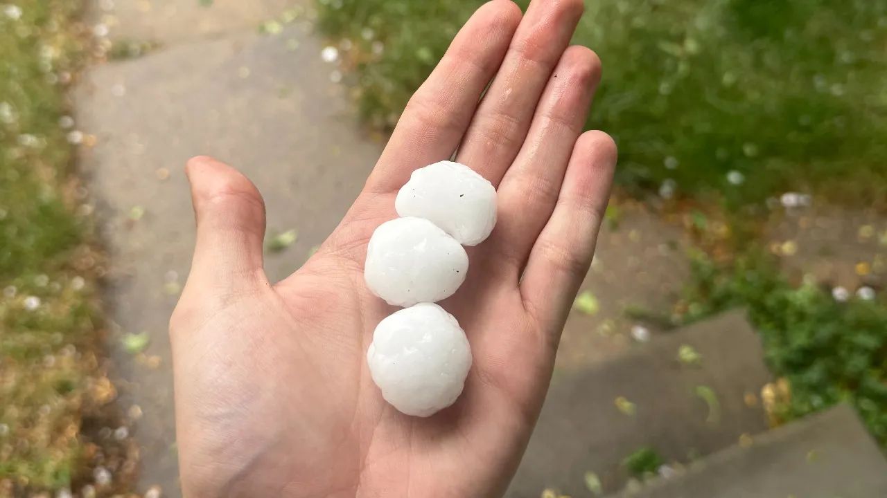
The biggest concern will be heavy rainfall and localized flooding, although some storms could also produce damaging wind gusts and hail.
A Level 1 severe weather risk is in effect, meaning isolated severe storms are possible even though widespread severe weather is not expected.
Temperatures should remain mainly in the 80s, keeping conditions warm and humid between storm chances.
Heavy Rain Could Redevelop Thursday Night
The threat will not necessarily end once Thursday’s daytime storms move away.
Additional thunderstorms could redevelop Thursday night, potentially producing another round of heavy rain over areas that have already received significant rainfall.
That raises concerns about additional flooding, particularly in locations where drainage systems and waterways are already under stress.
Overnight temperatures are expected to fall into the 60s to lower 70s.
Friday Could Bring Another Round of Severe Weather
The active pattern continues Friday, when more thunderstorms and potentially heavy rainfall are expected. Forecasters are again watching for flooding, with some storms capable of producing intense rainfall over a short period.
A Level 1 severe weather risk is also expected Friday, meaning isolated damaging winds or other severe weather cannot be ruled out. High temperatures should remain in the 80s.
Residents should continue monitoring weather updates, particularly if storms develop near areas that have already experienced flooding.
More Storms Possible Friday Night and Saturday
Another disturbance could bring a fresh round of rain and thunderstorms Friday night into Saturday.
The timing and coverage of these storms remain somewhat uncertain, but the possibility is worth watching given the recent stretch of active weather across Indiana.
By Saturday afternoon, conditions may begin improving, with storm chances decreasing and temperatures climbing toward the upper 80s.
Even if the weather briefly dries out, residents should remain alert to changing forecasts because additional storms could still develop.
Sunday Could Turn Hot and Humid
A noticeably warmer day is expected Sunday, with temperatures approaching 90 degrees and humidity pushing heat-index values higher.
The combination of heat and humidity could make outdoor conditions uncomfortable, particularly during the afternoon. There is also a chance of late-day and evening thunderstorms as a cold front approaches the region.
While Sunday may not bring the same widespread rainfall threat as earlier in the weekend, storms could still become locally strong.
Drier Pattern May Arrive Next Week
The weather pattern could finally begin to settle down early next week. A cold front may keep showers and thunderstorms possible Monday, particularly across southern Indiana.
After that, forecasters expect the pattern to shift toward a stretch of drier weather.
Temperatures could settle into the lower 80s for several days, while overnight conditions become more comfortable before another warm-up develops.
For now, the main concern remains the possibility of repeated heavy rainfall before the weather pattern changes.
Residents across Indianapolis and surrounding parts of Indiana should keep an eye on updated forecasts, especially during periods of thunderstorms and heavy rain.
Have you already experienced flooding or storm damage in your area this week? Share what conditions are like where you live in the comments below.