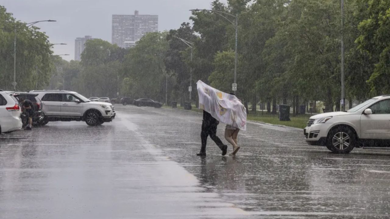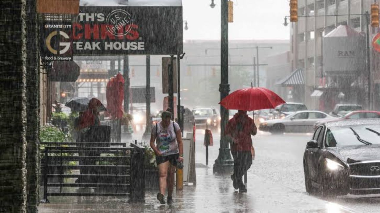
Indianapolis, Indiana — A prolonged stretch of dangerous summer weather is taking shape across a large portion of the United States, with severe thunderstorms, damaging winds and potentially life-threatening flash flooding expected from the Plains through the Midwest and into the East this week.
Forecasters are warning that repeated thunderstorms could track over the same locations, allowing rainfall to accumulate quickly and increasing the potential for dangerous flooding.
Storms Expected to Sweep Across Multiple Regions
Rounds of thunderstorms are expected to move from the northern and central Plains toward the Midwest, Appalachians and Atlantic Coast throughout the week.
Meteorologists warned that while the storms are not expected to reach the intensity or geographic reach of a derecho, some communities could still experience significant damage.
The strongest storms may produce straight-line wind gusts capable of knocking down trees and causing power outages across affected areas.
Monday already brought a preview of the unsettled pattern, with severe thunderstorms developing across the Ohio Valley and Mid-Atlantic.
The storms triggered flash flooding and caused damage to trees and power lines. Severe weather was also reported across Arizona, the Carolinas and the northern Plains, with nearly 500 preliminary severe weather reports recorded across the affected regions.
Tuesday Brings Another Round of Severe Weather
The storm threat is expected to continue Tuesday as thunderstorms return across many of the same areas affected Monday. The overall storm corridor is forecast to shift slightly farther south, while powerful wind gusts remain the primary concern.
A few of the strongest thunderstorms could also produce brief tornadoes, adding another hazard for communities under severe weather alerts.
One of the more concentrated areas of concern is expected to stretch from northwestern Illinois into parts of western Virginia.
Meanwhile, farther west, thunderstorms could develop from eastern Montana and northeastern Wyoming through southeastern Minnesota and northwestern Iowa.
Those storms could produce damaging wind gusts and crop-damaging hail.
Severe Storm Threat Continues Wednesday
The unsettled weather pattern is expected to remain active into the middle of the week.
As the northeastern edge of the heat dome retreats southwestward Wednesday, the focus of severe weather across the Midwest and East is also expected to shift.
Thunderstorms could affect areas from central Illinois to the Virginia and North Carolina coasts.
The Plains will remain under threat as well, with severe weather possible from eastern Wyoming across South Dakota and Nebraska, extending into southern Iowa, northern Missouri, northern Kansas and northeastern Colorado.
Flash Flooding Could Become the Biggest Danger
While damaging winds and isolated tornadoes remain concerns, forecasters warn that flash flooding could ultimately become the most dangerous part of this week’s storm pattern.
Hawaii on Alert: Massive Pacific Storm Invest 93C Strengthens, Bringing Threat of 20-Foot Waves
Repeated rounds of heavy thunderstorms are expected across portions of the Ohio Valley and Appalachians through Thursday night.
A broad region stretching from eastern Illinois to southwestern Pennsylvania, northeastern Tennessee and western Virginia could receive approximately 2–4 inches of rain.
Some areas, particularly from east-central Indiana through much of West Virginia, could receive 4–8 inches.
The greatest concern comes when storms repeatedly move across the same communities, allowing rainfall to pile up faster than the ground and drainage systems can handle it.
Several States Face Elevated Flood Risk
Parts of Kentucky, West Virginia, southwestern Pennsylvania and southern Ohio are particularly vulnerable to flash flooding because steep terrain can rapidly push water into creeks and smaller rivers.
Urban areas can also experience sudden flooding when intense rainfall overwhelms drainage systems.
Residents living near streams, campers and motorists traveling through flood-prone areas are being urged to closely monitor weather conditions and be prepared to move to higher ground if water begins rising.
Small streams can rise rapidly during extreme rainfall, potentially flooding roads, vehicles and nearby homes within a short period of time.
As additional storms develop throughout the week, conditions could change quickly, making it important for residents across the Plains, Midwest and East to stay alert to local warnings.
Are you expecting severe storms or heavy rain in your area this week? Share your local weather conditions and stay safe.