New York City, New York — A powerful storm system is bringing a serious and potentially life-threatening flash flood threat to millions across the Northeast, with New York City and Philadelphia at the center of the highest-risk area. Forecasters warn that some communities could receive more than a month’s worth of rain in just a few hours, raising concerns about dangerous flooding, overwhelmed drainage systems, and major travel disruptions.
Millions Under Flood Watches Across the Northeast
More than 36 million people are currently under flood watches stretching from Philadelphia through the New York metropolitan area and into southern and western New England.
Meteorologists expect 2 to 5 inches of widespread rainfall, while isolated communities could receive even higher totals. Areas from northern New Jersey and northeastern Pennsylvania to the Lower Hudson Valley and western New England face the greatest risk of excessive rainfall.
In some locations, rainfall totals may exceed New York City’s average rainfall for the entire month of July, highlighting the unusual intensity of this storm.
Storms began developing Tuesday afternoon across New York, New Jersey, and Pennsylvania, with the flood threat becoming increasingly dangerous during the evening and expected to continue overnight into Wednesday morning.
Flooding Already Triggers Rescues and Road Closures
The storm has already caused flooding in several communities before reaching its peak intensity.
In Bradford Township, Pennsylvania, police reported that multiple roadways, including sections of a major state highway, were flooded and urged residents to avoid unnecessary travel.
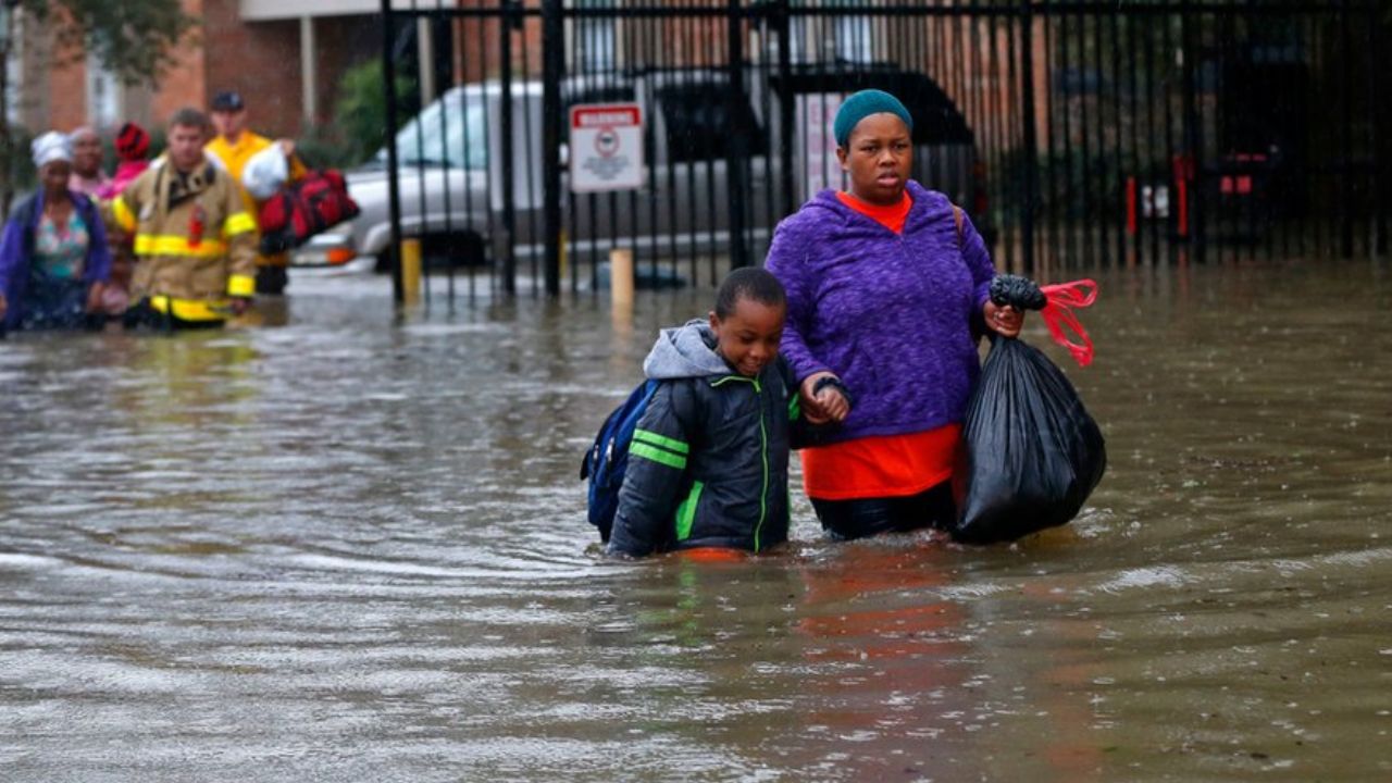
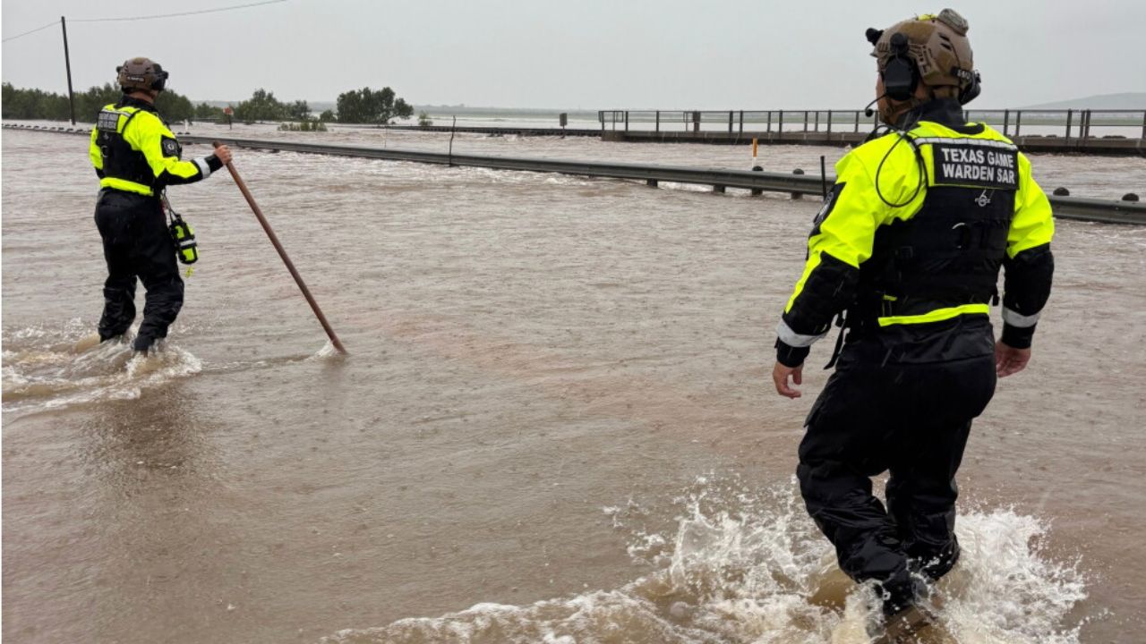
Emergency crews from the Rescue Hose & Ladder Co. responded to Coalport, Pennsylvania, where they rescued three people and two dogs trapped by rising floodwaters.
Meanwhile, heavy rain flooded streets in Cumberland County, while rapidly moving water surged through neighborhoods in Westover, Pennsylvania, approaching residential properties.
In Baltimore, officials issued a considerable flash flood warning after 2 to 3 inches of rain fell within a short period, quickly overwhelming drainage systems.
Heavy Rain Could Overwhelm Cities Overnight
Forecasters say the greatest concern is torrential rainfall rates of 1 to 3 inches per hour, especially across densely populated urban areas.
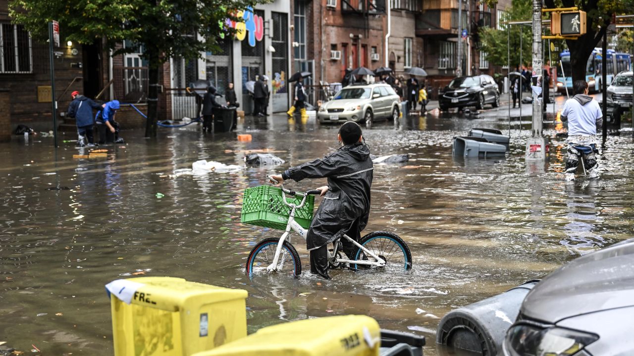
While New York City’s drainage system is designed to handle rainfall rates of approximately 1.75 inches per hour, meteorologists warn this storm could exceed that capacity in some locations.
The city experienced similar problems less than two weeks ago when intense rainfall flooded subway stations, stranded vehicles, and caused widespread travel delays.
Because the heaviest rain may repeatedly move over the same locations, neighborhoods experiencing stalled storm bands could see rapidly rising floodwaters with little warning.
Airport delays and hazardous road conditions have already begun affecting travel across portions of the region.
Why This Storm Is So Unusual
Meteorologists say the storm is unusually powerful for late July.
Unlike typical summer systems, this storm is being strengthened by atmospheric conditions more commonly seen during the colder months while also drawing exceptionally moisture-rich air from the Atlantic Ocean and Gulf of Mexico.
The combination is expected to produce multiple rounds of thunderstorms capable of generating intense rainfall over the same areas.
Indiana Weather Alert: Severe Storm Watch Issued for 39 Counties With 80 MPH Wind Threat
Scientists also note that warmer temperatures allow the atmosphere to hold more moisture, increasing the likelihood of heavier downpours during storms.
Flood Threat Shifts Into New England
While New York City and Philadelphia remain at risk through the overnight hours, the focus of the heaviest rainfall is expected to shift north on Wednesday.
Communities across southern and central New England, including Boston and Hartford, could experience dangerous flash flooding as additional bands of heavy rain develop.
The highest concern extends across northern and central Connecticut, western Massachusetts, and southern Vermont, where repeated downpours may continue throughout Wednesday.
Although scattered showers could linger into Thursday and Friday, forecasters expect the overall flood threat to gradually diminish as the storm weakens and moves out of the Northeast.
Are you in one of the areas under a flood watch or warning? Share what conditions are like in your community and let others know how you’re staying safe.