Honolulu, Hawaii — Hurricane Fausto is still more than 1,000 miles away from Hawaii, but forecasters are already keeping a close eye on the storm as it moves steadily west across the Pacific Ocean. While the system is expected to weaken significantly before reaching the islands, residents and travelers could still experience larger ocean swells, rough surf and changing weather conditions during the middle of next week.
At this point, meteorologists say there is no hurricane threat expected for Hawaii, though some impacts from the weakening tropical system remain possible.
Fausto Expected to Weaken Before Reaching Hawaii
Fausto is currently being steered westward by a large area of high pressure located north of the Hawaiian Islands. Forecast models indicate the storm could approach Hawaii Tuesday night into Wednesday local time.
However, weather experts expect the system to lose strength over the coming days.
A combination of dry air, cooler ocean temperatures and increasing wind shear is forecast to weaken Fausto from a hurricane to a minimal tropical storm before it nears the islands.
Meteorologists note that tropical systems generally require ocean temperatures of around 80 degrees or warmer to maintain strong thunderstorm activity. Waters east of Hawaii are hovering near that threshold, creating a less favorable environment for the storm.
Because of these conditions, forecasters say Fausto is more likely to become weaker than stronger before arrival.
Biggest Concern Is Increasing Surf and Dangerous Ocean Conditions
Even though the storm is expected to weaken, Hawaii could still experience noticeable impacts from the system.
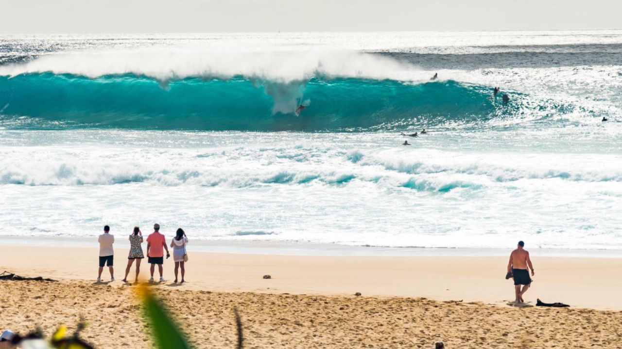
The first effects are expected to be increasing swells along east-facing shorelines, which could begin arriving as early as late Saturday before building through Tuesday and Wednesday.
North-facing beaches could also see larger waves by Tuesday as the storm approaches.
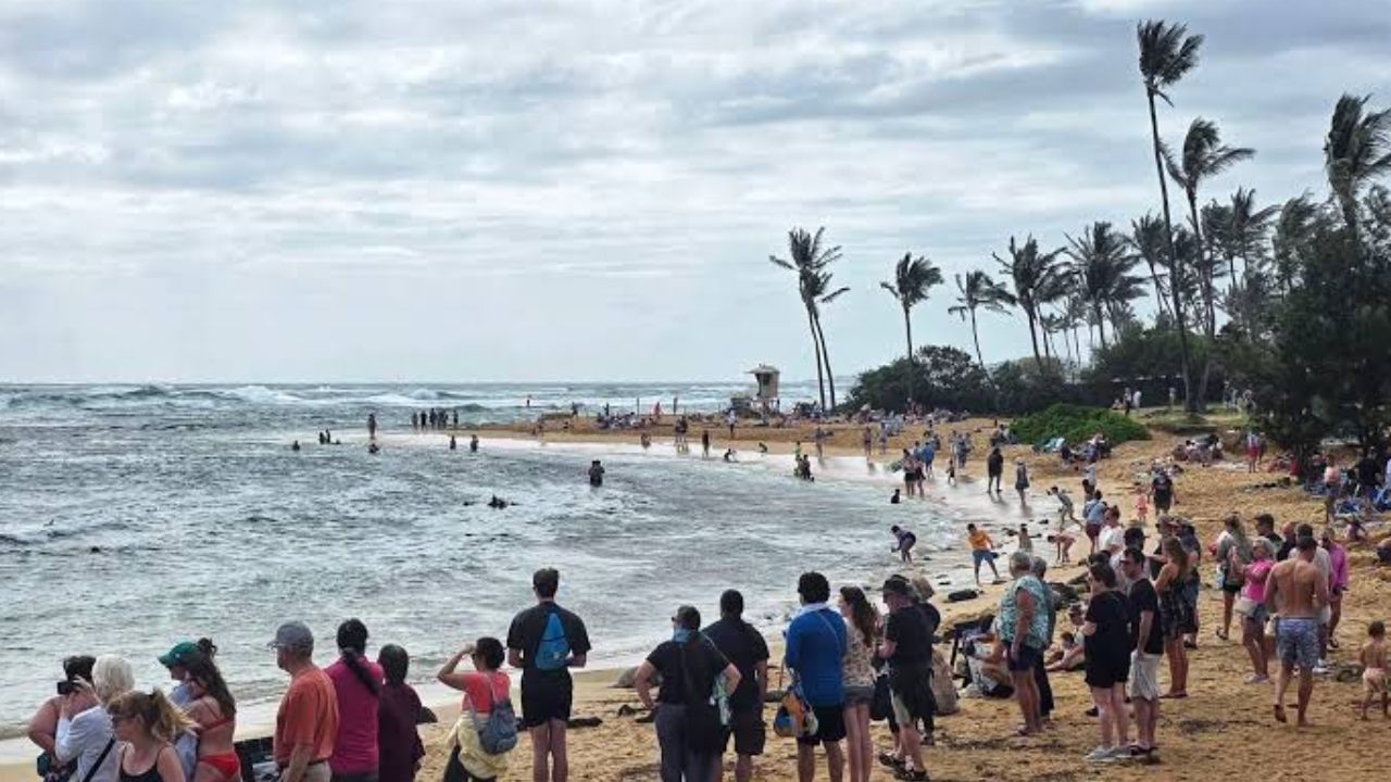
Large swells may create dangerous surf and life-threatening rip currents, particularly for swimmers, surfers and beachgoers. Officials encourage residents and visitors to monitor local beach advisories before entering the water.
Meanwhile, Fausto is also expected to generate rough surf and hazardous rip currents along parts of Southern California before reaching the Central Pacific.
Wind and Rain Forecast Remains Less Certain
While larger waves are considered the most likely impact, the forecast for wind and rainfall remains much less certain.
Meteorologists say Hawaii’s typical easterly trade winds may briefly weaken before shifting to a more northerly direction as Fausto approaches.
This change could bring higher humidity, occasional gusty winds and scattered showers, although strong winds higher in the atmosphere may prevent the storm’s strongest winds from reaching the islands.
To improve forecast accuracy, NOAA is sending reconnaissance aircraft to investigate the storm’s environment and determine how much dry air and wind shear will affect Fausto’s future strength.
Active Hurricane Season Raises Additional Concerns
Fausto is developing during an unusually active Pacific hurricane season influenced by El Niño, which has warmed ocean waters across much of the Pacific.
Forecasters say warmer-than-average sea surface temperatures have already contributed to more named storms than normal this season.
According to NOAA, the Central Pacific could experience between five and 13 tropical cyclones this year, compared to the historical average of four to five.
While not every El Niño season brings damaging storms to Hawaii, warmer ocean temperatures can increase the likelihood that tropical systems survive longer as they move west across the Pacific.
For now, forecasters stress that dangerous surf remains the primary concern, while the exact track and intensity of Fausto will become clearer as additional data is collected over the next several days.
Are you planning to visit Hawaii next week, or do you live on the islands? How are you preparing for Hurricane Fausto’s possible impacts? Share your thoughts and stay safe in the comments below.