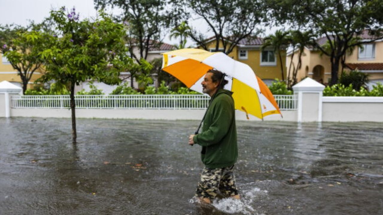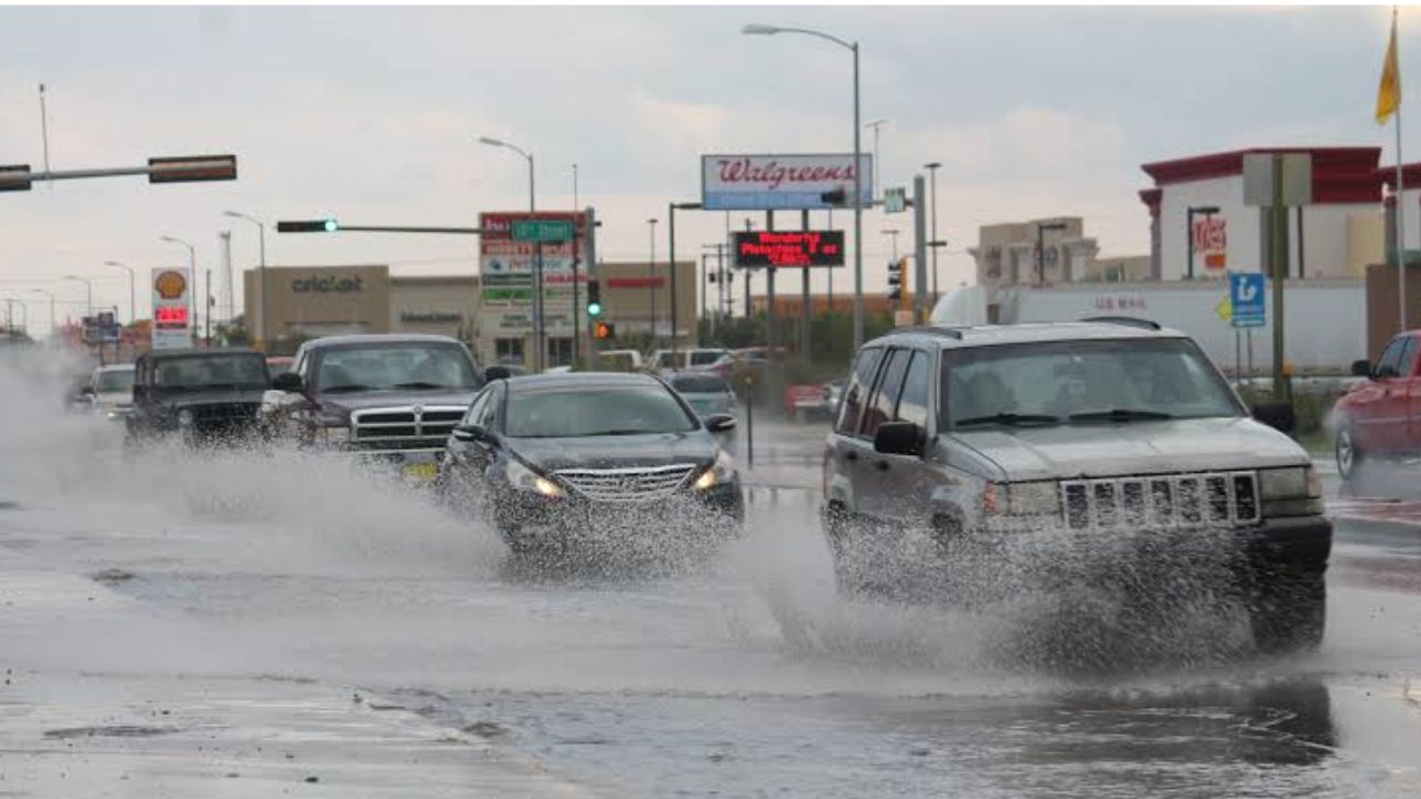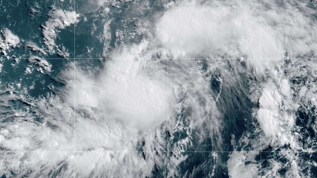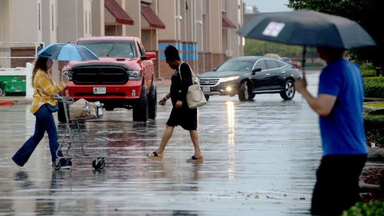
Houston, Texas — A dangerous multi-day storm system is expected to bring heavy rainfall, flash flooding and hazardous travel conditions to millions of people across Texas, the Gulf Coast and parts of the South through Friday, raising concerns that some areas could experience repeated rounds of torrential rain.
Forecasters warn that the greatest flood risk is centered over Texas’ Big Bend and Hill Country, where thunderstorms are expected to move over the same locations multiple times, significantly increasing the potential for life-threatening flash flooding.
The renewed threat comes just weeks after deadly flooding devastated portions of Texas and only days after severe flash flooding struck southeastern Missouri.
Hill Country Faces Another Serious Flood Threat
Meteorologists say some of the most vulnerable locations include communities along the Guadalupe River in Texas Hill Country, an area still recovering from the devastating flooding that occurred during the July Fourth holiday last year.
Because the ground in some locations remains susceptible to rapid runoff, even moderate rainfall could quickly overwhelm creeks, rivers and low-lying roads.
Officials are urging residents living near waterways and flood-prone areas to closely monitor changing weather conditions throughout the week.
Storm System Expected to Produce Repeated Heavy Rain
Forecasters say a slow-moving cold front colliding with warm, moisture-rich air from the Gulf of Mexico will fuel repeated rounds of thunderstorms across Texas and much of the southern United States.
According to the National Weather Service’s Weather Prediction Center (WPC), a Level 2 out of 4 flash flood risk covers a broad area stretching from western North Carolina to Texas’ Big Bend.
The outlook includes portions of Virginia, Tennessee, South Carolina, Georgia, Alabama, Mississippi, Louisiana, Oklahoma and large sections of Texas, including major metropolitan areas such as Houston, Austin, San Antonio, New Orleans and parts of the Dallas-Fort Worth area.
Meanwhile, parts of the Big Bend region, including Del Rio, have been placed under a Level 3 flash flood risk, signaling an increased potential for dangerous flooding.
Several Inches of Rain Could Fall Through Midweek
Forecasters expect many communities from the Gulf Coast into Central Texas to receive 1 to 3 inches of rain through Tuesday, with locally higher amounts possible where storms repeatedly develop.
By the middle of the week, weather models indicate that portions of West Texas, Southwest Texas and Hill Country could receive between 5 and 8 inches of rainfall, dramatically increasing the threat of flash flooding, especially in low-lying areas and near rivers and streams.
The repeated nature of the storms means flooding could develop rapidly, even in locations that avoid the heaviest rain initially.
State Officials Activate Emergency Resources
As the storm threat increases, Texas Governor Greg Abbott has activated the Texas National Guard and additional state emergency resources to assist local communities if flooding develops.
Emergency officials are encouraging residents to remain weather-aware, avoid driving through flooded roadways and be prepared to move to higher ground if Flash Flood Warnings are issued.
Travelers planning to visit Big Bend National Park or other outdoor destinations this week are also advised to closely monitor weather forecasts and local advisories before heading out.
With several days of heavy rain still expected, forecasters warn that flood conditions could change quickly, making preparedness especially important for anyone living or traveling across the affected regions.
Are you expecting severe weather where you live this week? What steps are you taking to prepare for possible flooding? Share your thoughts and experiences respectfully in the comments below.