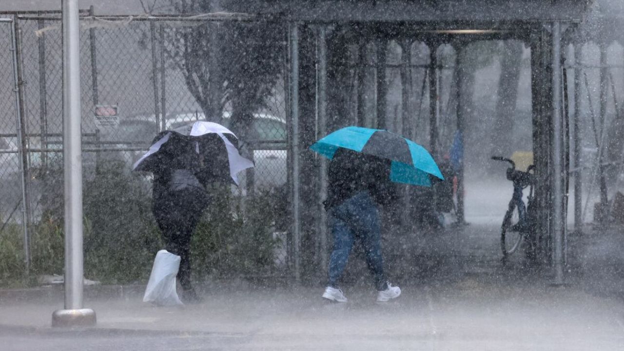
Omaha, Nebraska — Residents across portions of the Central Plains, Midwest, and eventually the Northeast are being urged to prepare for another round of potentially dangerous weather as a storm system brings threats of severe thunderstorms, heavy rainfall, and flash flooding through early next week.
Forecasters say the greatest initial threat will develop Saturday across parts of Nebraska and Kansas before spreading eastward into the Midwest and Ohio Valley on Sunday and Monday. Some locations could receive several inches of rain, raising concerns about flooding in low-lying and flood-prone areas.
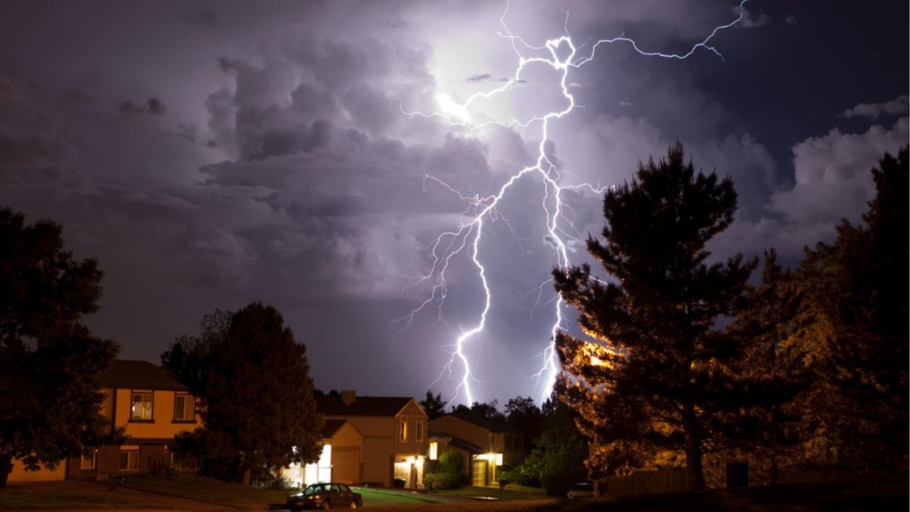
Severe Storms Expected to Develop Across Plains
Meteorologists say a disturbance in the jet stream moving out of the Central Rockies will help trigger thunderstorm development across the Plains on Saturday.
As a surface low-pressure system strengthens, southerly winds will transport warm, moisture-rich air into the region. This combination is expected to create an unstable atmosphere capable of supporting strong to severe thunderstorms.
Storms are forecast to begin developing during the late afternoon and evening hours across Nebraska and Kansas, where forecasters have outlined a Level 2 out of 5 risk for severe weather.
The strongest storms could bring torrential downpours, frequent lightning, damaging wind gusts, and isolated severe weather impacts.
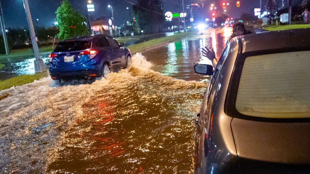
Flash Flood Concerns Increase With Heavy Rainfall
In addition to severe thunderstorms, heavy rainfall is expected to become a significant concern throughout the weekend.
Forecasters say some storms may produce rainfall rates between 1 and 2 inches per hour, particularly in areas with abundant atmospheric moisture.
Because of the potential for intense rainfall over short periods of time, a Level 2 out of 4 flash flood risk has been issued for parts of central Nebraska and Kansas through Saturday night.
Flooding concerns could expand into portions of Iowa and western Missouri as storm activity continues moving east. Areas that have already received recent rainfall may be especially vulnerable to rapid runoff and localized flooding.
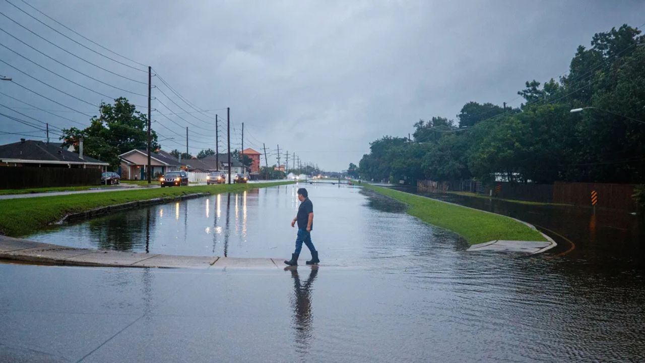
Midwest and Ohio Valley Face Growing Flood Threat
By Sunday and Monday, the storm system is expected to advance into the Midwest and lower Ohio Valley.
Forecasters warn that widespread rainfall totals of 2 to 3 inches are likely from Nebraska through Missouri and into portions of the Ohio Valley.
Some communities could see even higher totals if thunderstorms repeatedly move over the same locations, a phenomenon known as training.
These slower-moving storms can significantly increase flash flood potential by delivering large amounts of rain over a concentrated area.
As a result, another Level 2 out of 4 flash flood risk has been issued for portions of the lower Missouri Valley and lower Ohio Valley on Sunday.
Residents in flood-prone locations should closely monitor forecasts and remain alert for possible flood watches and warnings.
Heavy Rain Could Reach Northeast Early Next Week
The storm system is also expected to bring unsettled weather to parts of the Northeast by Monday.
Rain is forecast to spread from the Mid-Atlantic into New England, with some of the heaviest precipitation potentially falling in the heavily populated corridor stretching from Philadelphia to Boston.
Forecasters caution that there is still uncertainty regarding the exact strength and track of the system as it moves northeastward.
That uncertainty will affect where the heaviest rainfall ultimately develops and how significant flooding concerns become across the region.
Residents Urged to Monitor Forecasts
With severe thunderstorms, heavy rainfall, and flash flooding possible across several regions over multiple days, weather officials are encouraging residents to stay informed and be prepared for rapidly changing conditions.
Drivers should never attempt to cross flooded roadways, and those living in areas prone to flooding should have a plan in place if warnings are issued.
As the storm system continues to evolve, additional watches, warnings, and advisories may be issued across affected states.
Are you expecting severe weather in your area this weekend? What preparations do you typically make when flash flood threats are in the forecast? Share your thoughts in the comments below.