New Orleans, Louisiana — Communities along the Gulf Coast are preparing for heavy rain, gusty winds, and possible flooding after forecasters issued the first tropical storm warnings associated with a developing weather system that could soon become Tropical Storm Arthur.
The National Hurricane Center (NHC) has officially designated the former Invest 90L as Potential Tropical Cyclone One, a move that allows forecasters to issue watches and warnings before the system fully develops.
Although the disturbance has not yet reached tropical storm status, meteorologists believe conditions are favorable for additional organization as it approaches the northwestern Gulf Coast.
Tropical Storm Warnings Issued Along Louisiana Coast
As confidence in the storm’s development increased, officials issued Tropical Storm Warnings from Sabine Pass to Morgan City, Louisiana.
Meanwhile, Tropical Storm Watches remain in effect from Sargent, Texas, to Morgan City, Louisiana, covering portions of both the Upper Texas Coast and southwestern Louisiana.
A Potential Tropical Cyclone designation is used when a system has not yet officially formed but is expected to produce tropical storm conditions within a relatively short period.
Forecasters say this allows residents and emergency managers to begin preparations earlier rather than waiting for formal tropical storm development.
System Expected to Move Into Gulf Waters
At the latest update, PTC One was centered over southern Texas as a broad area of low pressure.
Meteorologists expect the system to track northeastward and emerge over the northwestern Gulf later Tuesday or Tuesday night. Once over water, the disturbance could strengthen enough to receive the season’s first tropical storm name: Arthur.
Warm Gulf waters, currently running in the mid-80s, are supportive of tropical development. However, forecasters say the system faces several limiting factors.
Moderate wind shear and a relatively short amount of time over open water are expected to prevent significant strengthening. Current forecasts indicate there is no evidence that the system will become a hurricane.
Instead, experts believe any strengthening will likely result in a modest tropical storm before the system moves inland.
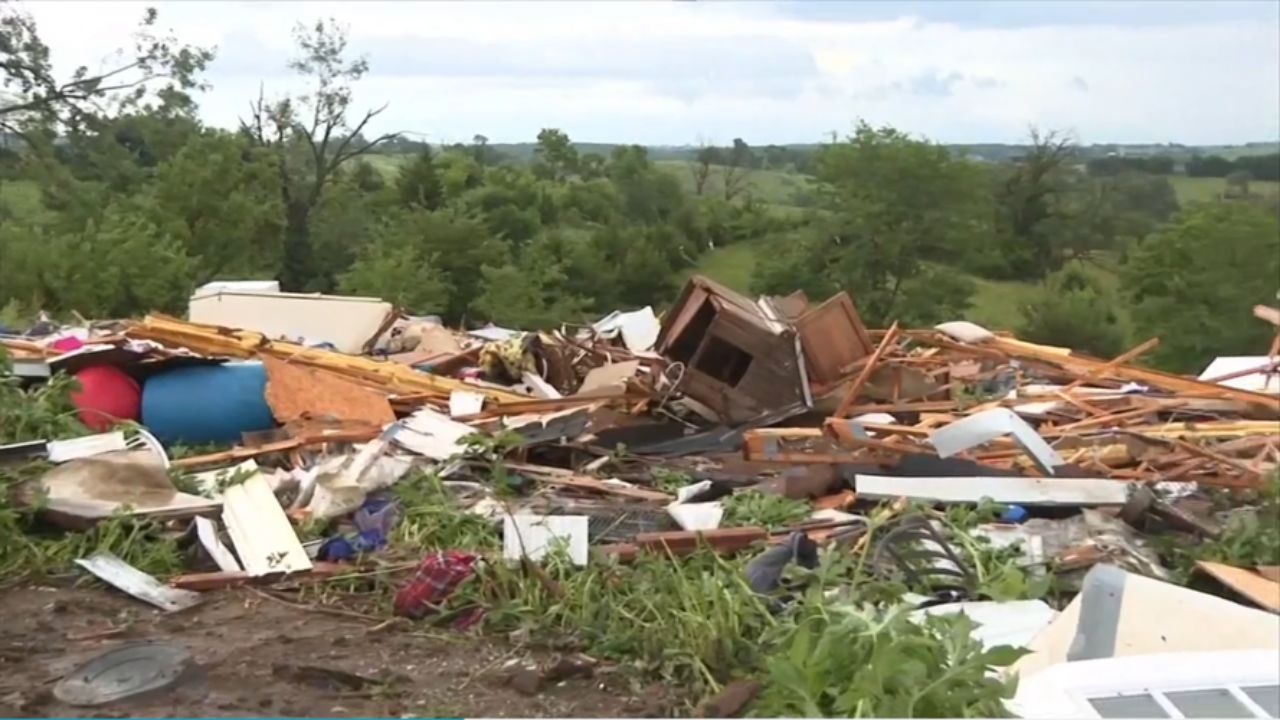
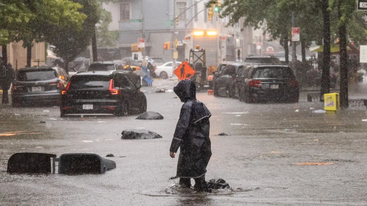
Flooding Remains the Biggest Concern
While attention often focuses on wind speeds during tropical events, forecasters say the primary threat from this system is expected to be heavy rainfall and flash flooding.
Regardless of whether the disturbance officially becomes Tropical Storm Arthur, the Gulf Coast could experience periods of intense rainfall through the latter part of the week.
Meteorologists warn that some areas may face life-threatening flash flooding, particularly in locations prone to poor drainage or repeated rounds of heavy rain.
Residents are being urged to closely monitor local forecasts and prepare for rapidly changing weather conditions.
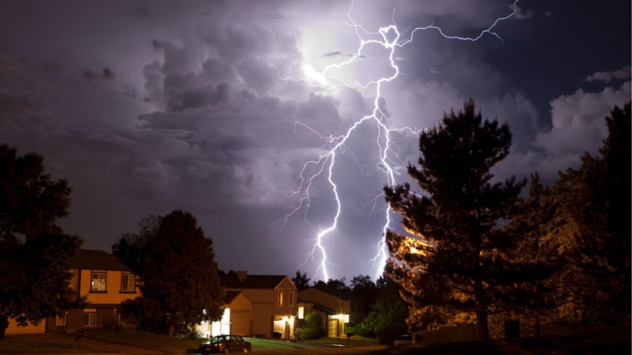
Strong Coastal Winds Also Expected
In addition to heavy rainfall, strong winds could impact coastal communities from Texas into Louisiana.
According to forecast guidance, the strongest gusts are expected near the immediate coastline, particularly between Matagorda Bay, Texas, and central Louisiana.
Wind gusts exceeding 40 mph could occur in some areas, potentially resulting in minor coastal flooding and hazardous travel conditions.
Forecasters expect the strongest winds to occur on Wednesday before the system moves inland Wednesday night and into early Thursday.
Major Flood Emergency Unfolding Across Texas This Week as Forecasters Warn of Life-Threatening Rain
While widespread severe wind damage is not currently anticipated, residents along the coast could experience downed tree limbs, scattered power outages, and rough marine conditions.
Gulf Coast Residents Urged to Stay Alert
With tropical season now underway, emergency officials are encouraging residents to review preparedness plans and stay informed as forecasts evolve.
Even relatively weak tropical systems can produce dangerous flooding, especially when slow-moving bands of rain repeatedly impact the same locations.
As Potential Tropical Cyclone One continues organizing near the Gulf Coast, forecasters will closely monitor whether the system officially becomes Tropical Storm Arthur in the coming hours.
Are you in an area covered by a Tropical Storm Watch or Warning?
What preparations are you making ahead of the expected heavy rain and flooding threat? Share your thoughts and experiences in the comments below.