Washington, D.C. — Residents across parts of the eastern United States are getting a brief break from wet weather, but that dry stretch is not expected to last.
Forecasters are warning that storms could return toward the end of the workweek, bringing an increasing flash flood threat across at least six states and potentially lasting into the weekend.
After several days of drying conditions through midweek, the weather pattern is expected to shift Thursday as a cold front pushes into the East from the Ohio Valley.
Cold Front Expected to Stall Over the East
An area of low pressure will trail behind the cold front as it moves eastward.
From Thursday into Friday, the front is expected to slow down and stall from the Northeast coast southward through the Mid-Atlantic and Carolinas.
That stalled boundary could become a focal point for repeated thunderstorms.
Forecasters are particularly watching areas across Virginia, North Carolina and coastal Maryland, where storms could repeatedly develop over similar locations.
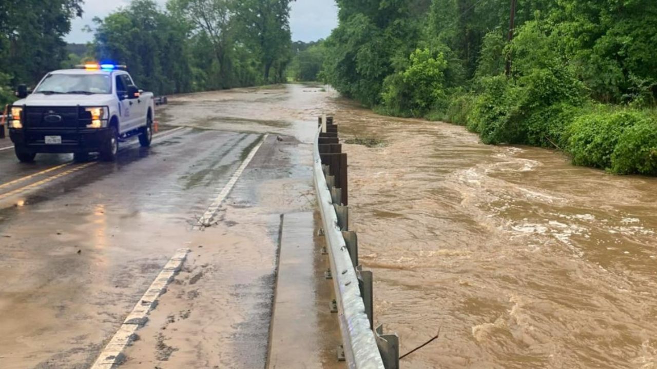
That setup can be especially concerning because storms dropping rain over the same areas can quickly overwhelm drainage systems and cause flash flooding.
Storms Could Produce 2 Inches of Rain Per Hour
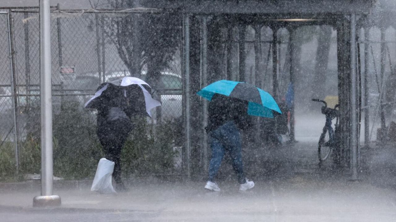
The rainfall intensity could become one of the biggest concerns later this week. Forecasts indicate that some storms could produce rainfall rates approaching 2 inches per hour.
A Level 1 out of 4 flash flood risk is currently in place for Thursday and Friday across portions of the region, including Washington, D.C., and Raleigh, North Carolina.
While a Level 1 risk represents the lowest category on the scale, localized flooding can still become dangerous, particularly in areas where storms repeatedly track over the same locations.
Residents should also remember that flash flooding can develop quickly, sometimes before total rainfall amounts appear especially high.
Weekend Rain Could Expand Toward Interstate 95
The threat could become broader as the weekend approaches.
The area of low pressure may strengthen enough to push heavier rainfall farther north toward the Interstate 95 corridor, although forecasters emphasize that this part of the forecast remains uncertain.
Rain is still expected to continue across portions of the Mid-Atlantic and Carolinas through Saturday evening.
If the low-pressure system develops as currently projected, more communities could find themselves dealing with periods of heavy rain and flooding concerns.
Some Areas Could See Up to 5 Inches
The potential rainfall totals are significant.
Forecasters expect widespread amounts of 2 to 3 inches from North Carolina northward toward coastal New Jersey. Some locations could receive localized totals of 3 to 5 inches, particularly where thunderstorms repeatedly form.
Those totals could be enough to create flooding problems in low-lying areas, along small streams and in places with poor drainage.
If the forecast continues to trend wetter or storms repeatedly move across the same areas, the current flash flood risk could be upgraded in the coming days.
Drought-Stricken Areas Could Get Heaviest Rain
One unusual aspect of the forecast is that some of the areas expected to receive the heaviest rainfall are also experiencing significant drought.
The Carolinas and Virginia are dealing with widespread severe to extreme drought, making the incoming rain particularly notable.
Although additional rainfall could provide some relief to dry conditions, intense rainfall over a short period does not necessarily translate into effective drought recovery.
Instead, heavy downpours can run off quickly and create flooding while providing less benefit to soil and groundwater than slower, steadier rainfall.
With the storm pattern expected to become more active Thursday and continue into Saturday, residents across the affected areas should closely monitor updated forecasts.
Are you in one of the areas facing the potential flash flood threat? How has the recent weather been where you live? Share your thoughts in the comments below.