Chicago, Illinois — A relentless stretch of thunderstorms is raising concerns about serious flooding and destructive winds across parts of the Midwest and eastern United States, with multiple rounds of storms expected to continue through much of the workweek.
The unsettled pattern has already produced flooding, damaging winds, hail and a tornado, and forecasters warn that repeated rounds of heavy rain could create increasingly dangerous conditions in areas that receive storms on multiple days.
Storms Already Triggered Flooding and Damage
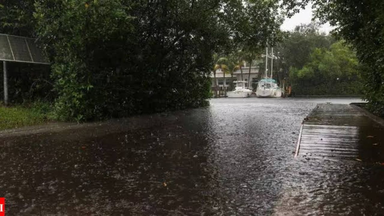
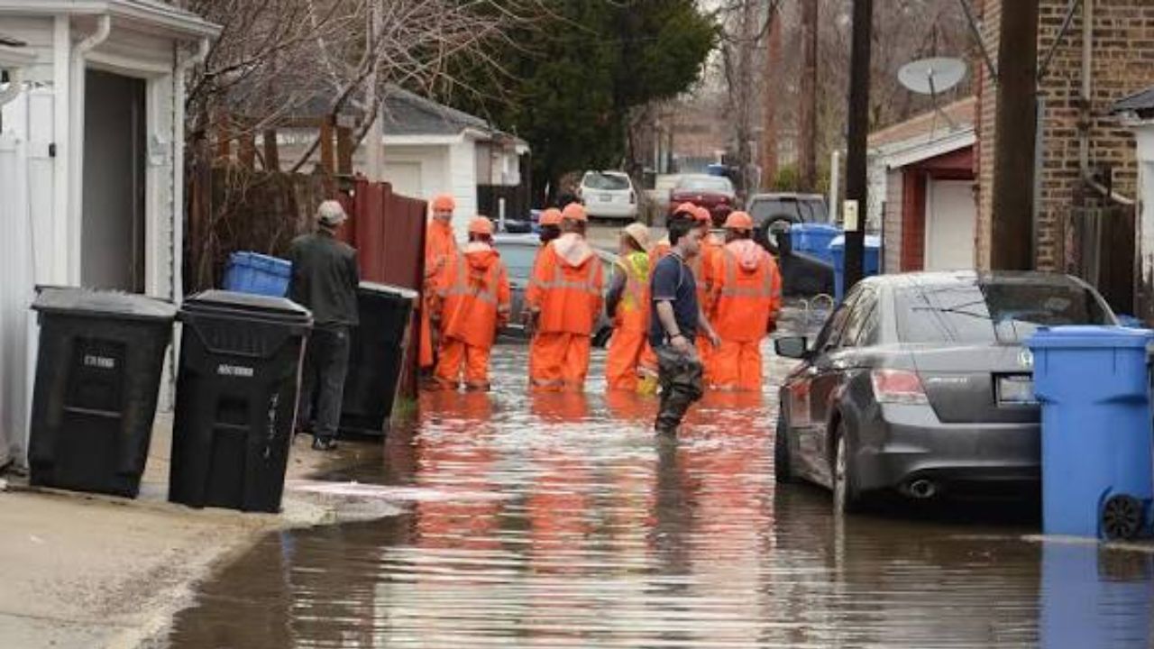
The storm pattern began Sunday across the southern Great Lakes, where heavy rainfall caused flooding on roads in parts of the Chicago metropolitan area.
Storms then moved into the Mid-Atlantic on Monday, producing damaging wind gusts. Another round of severe weather developed across northern Indiana later Monday, bringing powerful winds and large hail.
By Monday night, nearly 175,000 homes and businesses across four states were without power, with Virginia accounting for the largest share of outages.
The widespread outages underscored the potential for additional infrastructure damage as another series of storms moves across the region.
Winds Could Top 75 MPH Tuesday
Forecasters are particularly concerned about a large complex of storms expected to move across the Midwest on Tuesday.
The storm system is forecast to track from eastern Iowa, northern Illinois and southern Wisconsin during the morning before reaching parts of Indiana and Ohio by the afternoon or early evening.
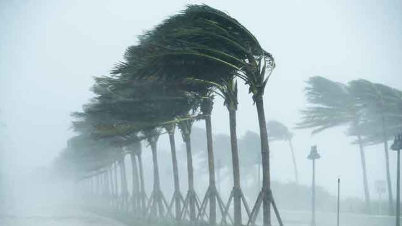
Some wind gusts could exceed 75 mph, creating the potential for widespread tree damage and additional power outages.
Although the overall tornado threat is considered low, forecasters say one or two tornadoes cannot be ruled out.
Flooding Remains the Biggest Threat
While destructive winds will be a concern, flooding rainfall is expected to pose the most serious danger during the week.
Parts of the Ohio Valley and central Appalachians are particularly vulnerable as multiple rounds of thunderstorms move over the same areas.
Cities including Cincinnati, Indianapolis and Charleston, West Virginia, are among locations facing repeated heavy rainfall threats.
Cincinnati and Charleston are included in a Level 3 of 4 risk for excessive rainfall on Tuesday, covering an area stretching from eastern Indiana into central West Virginia.
Some Areas Could See 6 Inches of Rain
The setup is being driven by a slow-moving frontal boundary interacting with moisture-rich tropical air.
That combination could produce extremely heavy rainfall in a short period. Rainfall rates of 1 to 3 inches per hour are possible within the strongest thunderstorms.
Some locations repeatedly hit by storms could receive 6 inches or more of total rainfall during the week.
Such repeated rainfall could quickly overwhelm drainage systems and cause creeks and streams to rise, particularly in areas that have already received substantial rain.
Low-Lying Areas Face the Greatest Risk
Forecasters say urban areas, low-lying locations and places with poor drainage will be especially vulnerable.
Mountainous sections of West Virginia could also face elevated flooding concerns because heavy rainfall can rapidly run downhill and swell waterways.
Residents in flood-prone locations should closely monitor weather alerts, especially if thunderstorms repeatedly move across the same area.
The wet pattern is expected to continue in some locations through Friday, meaning the flood threat could persist even after the strongest winds have moved away.
Storm Pattern Finally Expected to Ease
The unsettled weather should eventually begin to diminish as high pressure moves into the region this weekend. That system is expected to suppress thunderstorm development and bring a break from the repeated rounds of storms.
Until then, however, the combination of damaging winds, intense rainfall, flash flooding and isolated tornadoes could create dangerous conditions across a large portion of the Midwest, Ohio Valley and central Appalachians.
Are you in an area expecting these storms this week? What conditions have you experienced so far? Share your local weather updates in the comments below.