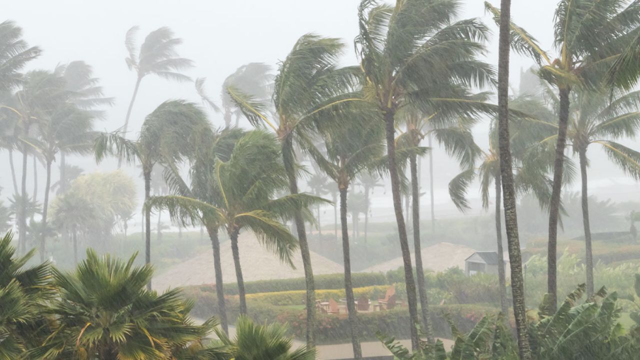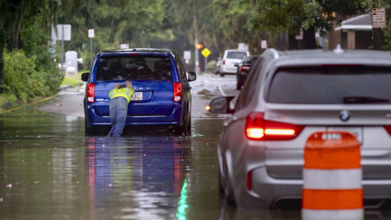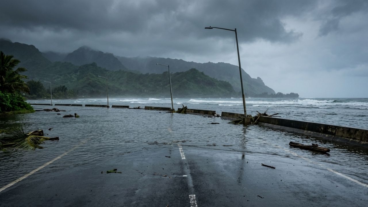
Honolulu, Hawaii — Hawaii is being urged to keep a close eye on the Pacific as Invest 93C develops over unusually warm ocean waters and potentially moves toward the islands later this week. The disturbance is one of three areas being monitored across the Pacific, but forecasters say 93C currently represents the most significant tropical threat for Hawaii.
The system comes as the Pacific hurricane season remains unusually active, with seven named storms already recorded in the basin.
Invest 93C Emerges as Main Hawaii Concern
Forecasters are tracking several disturbances between Mexico and Hawaii, but Invest 93C has attracted the most attention because of its higher potential for development.
Forecast models indicate that the system could gradually organize while moving westward across the Central Pacific. Some models show the possibility of tropical activity approaching Hawaii in roughly a week, although the exact track and strength remain uncertain.
Forecasters expect a tropical depression could develop early in the week if environmental conditions remain favorable.
If the system eventually becomes a named storm, the next available name on the Central Pacific hurricane list is Lala.
However, officials emphasize that a forecast disturbance is not the same thing as a confirmed tropical cyclone, and conditions can change considerably over several days.
Warm Ocean Water Could Help Fuel Development
One of the biggest concerns surrounding Invest 93C is the exceptionally warm water across the Eastern and Central Pacific.
Warm ocean temperatures provide additional energy for developing tropical systems and can help disturbances strengthen when other atmospheric conditions are supportive.
That combination has increased concerns that Hawaii could face a greater-than-average risk of tropical weather this season.
The system’s eventual strength will depend on several factors, including wind shear, moisture levels and its interaction with the surrounding atmosphere.
Researchers Find First Known Blacktip Shark Nursery in Hawaii, Revealing a Secret Marine Habitat
Hawaii Could See Dangerous Waves Even Without a Storm
Residents should not assume that a disturbance has to become a hurricane to create dangerous conditions.
Forecasters are warning that large waves could affect Hawaii regardless of whether Invest 93C becomes an official tropical storm.
A strong tropical disturbance passing through the Pacific can generate significant swells that travel toward the islands, potentially creating hazardous surf and dangerous conditions along exposed coastlines.
That means beachgoers, boaters and coastal communities may need to pay attention even if the system never receives a name.
Officials Urge Residents to Review Hurricane Plans
With tropical activity increasing, forecasters are encouraging residents across Hawaii to make sure their hurricane preparations are up to date.
The Climate Prediction Center’s two-week Tropical Hazards Outlook is also highlighting areas near and south of Hawaii for potential tropical development.
That does not mean a storm is guaranteed to strike the islands, but it does indicate that the region deserves continued monitoring.
Forecasters are particularly emphasizing the importance of knowing evacuation routes, checking emergency supplies and reviewing family communication plans before conditions become threatening.
Other Pacific Disturbances Also Being Watched
Invest 93C is not the only disturbance being tracked.
Two additional areas of unsettled weather are active farther east in the Pacific. One currently has a medium chance of development, while another has a low chance of organizing during the coming week.
The clustering of several disturbances has created what forecasters describe as a tropical traffic jam across the Pacific, adding another layer of uncertainty during an already active hurricane season.
El Niño Adds Another Piece to the Forecast
The broader tropical pattern is also being influenced by a strengthening El Niño, which has contributed to increased activity across the basin.
So far, the season has produced seven named storms, including Hurricane Genevieve, which reached Category 5 strength.
The next name on the Eastern Pacific list is Hernan. Historically, the average date for the “H” storm in the Eastern Pacific is around August 21, highlighting how active the basin has been so far.
For Hawaii, the message remains simple: it is too early to know whether Invest 93C will become a tropical storm or directly affect the islands, but residents should be prepared for changing conditions and potentially dangerous surf.
Are you in Hawaii, and are you preparing for the possibility of increased tropical activity this season? Share your thoughts and preparedness plans in the comments below.