Chicago, Illinois — Millions of Americans across the Midwest and Northeast are preparing for several days of heavy rain, thunderstorms, and possible flash flooding as a slow-moving storm system tracks east through early next week. Forecasters warn that repeated downpours could trigger localized flooding, travel disruptions, and hazardous road conditions, particularly in areas that have already received significant rainfall.
Heavy Rain Targets the Midwest Through Saturday
The storm is expected to produce periods of moderate to heavy rain across portions of the Plains and Midwest through Friday night and much of Saturday before gradually weakening later in the weekend.
Forecasters expect general rainfall totals between 1 and 4 inches from eastern South Dakota and Nebraska through the southern Great Lakes, with isolated locations receiving even higher amounts.
The combination of slow-moving thunderstorms and saturated ground could lead to flash flooding, especially in urban neighborhoods, low-lying areas, and locations with poor drainage.
Drivers may also encounter reduced visibility, standing water on roads, and localized travel delays throughout the weekend.
Lollapalooza Attendees Could Face Wet Weather
One of the biggest events affected by the storm could be Lollapalooza in Chicago.
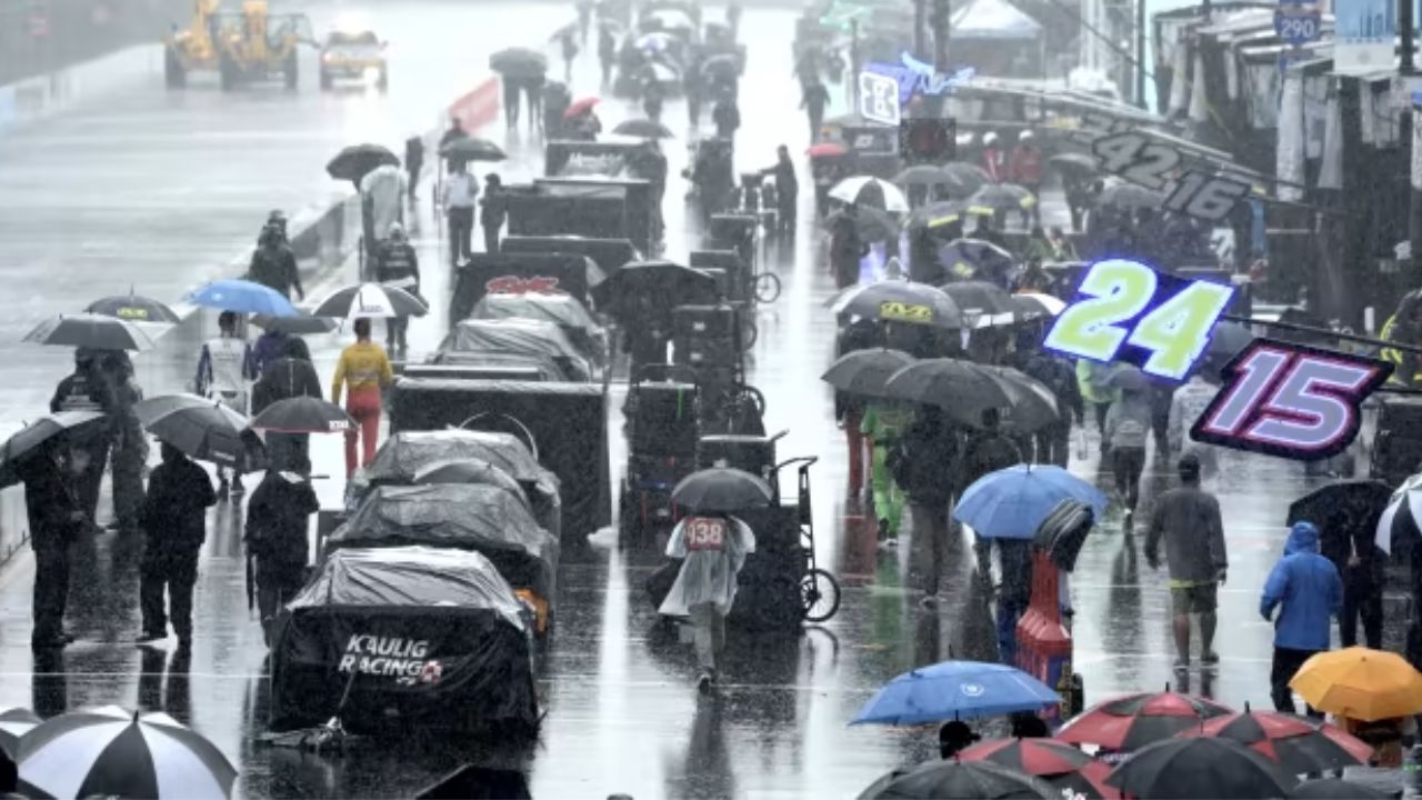
Meteorologists say heavy rain, thunderstorms, and lightning may impact festival activities on Friday, with additional showers continuing into Saturday morning.
Although forecasters expect occasional breaks in the rain, they advise festival-goers to keep rain gear handy throughout much of the weekend.
Additional showers and thunderstorms remain possible Saturday afternoon, but weather conditions are expected to gradually improve by Saturday evening as headline performances begin.
Most of Sunday in Chicago is forecast to stay mainly dry, though a few early morning showers cannot be ruled out.
Storm Shifts Toward the Ohio Valley and Northeast
By Sunday, the weather system will continue moving east, bringing heavy rainfall to portions of the Ohio and Tennessee valleys before reaching much of the Mid-Atlantic and Northeast.
Forecasters warn that rainfall rates could exceed one inch per hour in some thunderstorms, significantly increasing the risk of flash flooding, particularly where soils remain saturated from recent storms.
Communities could also experience rapid rises on creeks and streams, along with temporary road closures in flood-prone locations.
Erie and Buffalo Among Sunday’s Highest-Risk Areas
The greatest flooding concern on Sunday is expected across western portions of the Northeast, including Erie, Pennsylvania, and Buffalo, New York.
Frequent downpours and thunderstorms may create hazardous travel conditions, especially along the busy Interstate 90 corridor, while outdoor events could face weather-related interruptions.
Residents are encouraged to remain alert for changing weather conditions as storms develop throughout the day.
New York City and Boston Face Flood Risk Early Next Week
As the storm approaches the East Coast, New York City, Boston, and communities along the Interstate 95 corridor will become the primary focus for heavy rainfall from Sunday afternoon through Monday night.
Forecast models indicate widespread rainfall totals of 1 to 2 inches, with isolated areas receiving heavier amounts during slow-moving thunderstorms.
Forecasters are especially concerned about areas near Albany, New York, where 8 to 12 inches of rain fell earlier this week. Officials warn that as little as one inch of rain in an hour or two inches within three hours could trigger renewed flash flooding.
Low-lying roads, underpasses, neighborhoods with poor drainage, and small streams may flood quickly if the heaviest thunderstorms develop.
Most of the storm’s heavy rain is expected to move offshore by Tuesday morning, although a few lingering showers may persist Tuesday afternoon across parts of the Mid-Atlantic.
Are you expecting heavy rain where you live this weekend or early next week? Let us know how you’re preparing for possible flooding in the comments below.