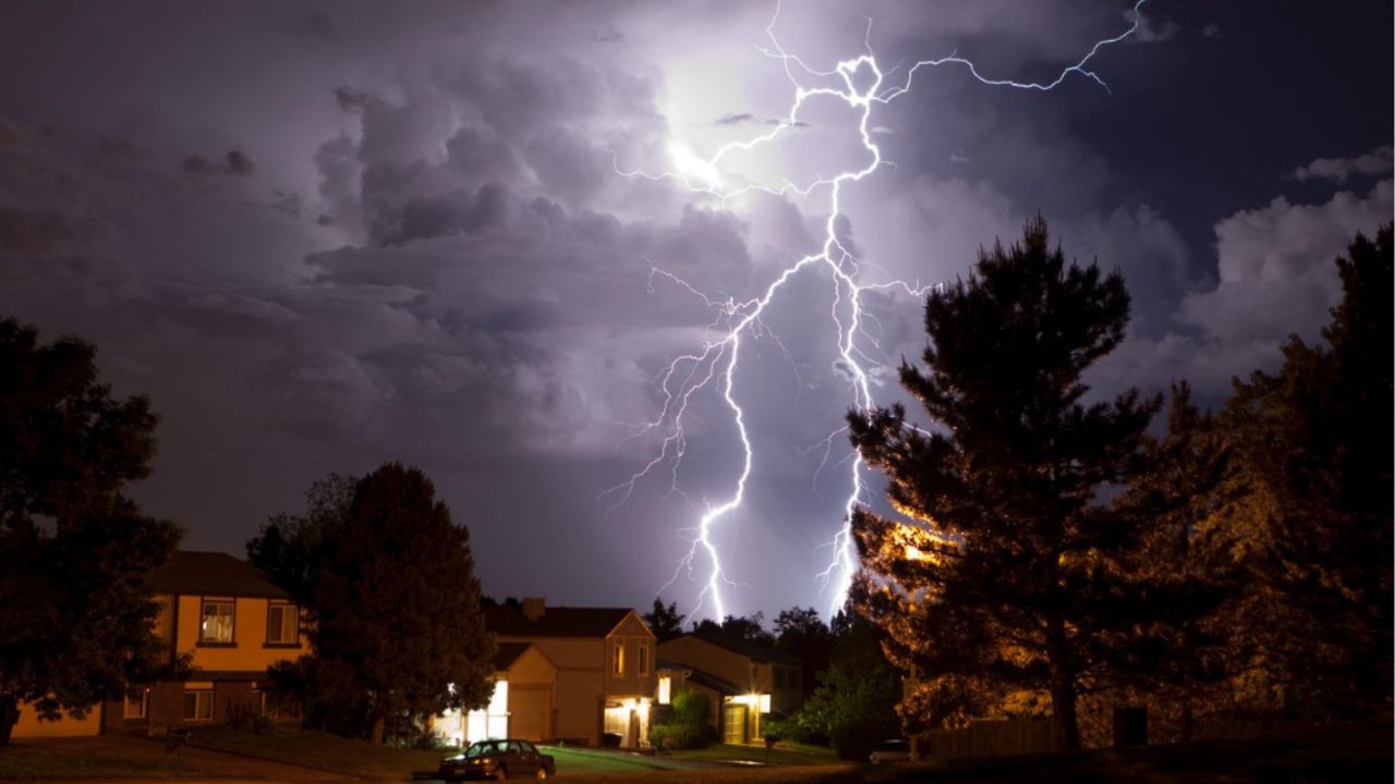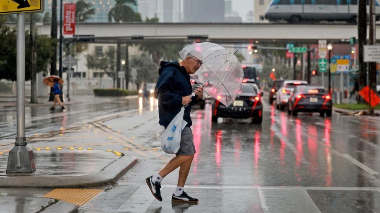
Panama City, Florida — Tropical Storm Bertha has strengthened in the Gulf of Mexico, prompting weather alerts across parts of the northern Gulf Coast as forecasters warn of heavy rainfall, flash flooding, strong winds and coastal flooding over the coming days.
The National Hurricane Center (NHC) said Bertha intensified from a tropical depression on July 20, becoming the second named storm of the 2026 Atlantic hurricane season. While the system remains relatively weak, meteorologists caution that its slow movement could lead to prolonged periods of rain and hazardous coastal conditions.
Tropical Storm Bertha Strengthens in the Gulf
According to the National Hurricane Center’s 10 p.m. CDT advisory, Bertha was located about 140 miles south of Panama City, Florida, and 215 miles southeast of Mobile, Alabama.
The storm had maximum sustained winds of 40 mph and was reported to be nearly stationary late Sunday night.
Forecasters expect Bertha to begin a slow west-northwestward or westward track over the next several days, moving near or along the northern Gulf Coast. Additional strengthening is possible through July 21, although current forecasts do not indicate rapid intensification.
Flooding Risk Increases Across the Gulf Coast
The greatest concern remains the potential for heavy rainfall and flash flooding across several Gulf Coast states.
The National Hurricane Center forecasts 2 to 4 inches of rain, with isolated amounts as high as 8 inches, from western Florida to the Middle Texas Coast, including portions of southern Alabama, Mississippi and Louisiana.
Officials warn that the prolonged rainfall could trigger flash flooding, particularly in low-lying and urban areas where drainage systems may quickly become overwhelmed.
Meteorologists are also monitoring rainfall trends farther west. If heavier bands shift toward Texas, the threat of flooding could increase significantly in areas that have recently experienced major flooding.
Weather Alerts Issued for Coastal Communities
As Bertha approaches the Gulf Coast, weather officials have issued several advisories for communities that could experience deteriorating conditions.
Tropical Storm Watches remain in effect for portions of the Gulf Coast, where strong winds, heavy rain and dangerous surf may develop between July 20 and July 21.
Meanwhile, a Storm Surge Watch has been issued from the Alabama-Florida border westward to the mouth of the Mississippi River, highlighting the possibility of rising coastal water levels and localized coastal flooding.
Residents in affected areas are encouraged to stay updated on the latest forecasts and follow any guidance issued by local emergency management officials.
2026 Hurricane Season Still Expected to Be Below Average
Bertha arrives roughly one month after Tropical Storm Arthur, making it the second named storm of the season.
Despite the recent activity, forecasters continue to expect a below-normal Atlantic hurricane season, largely because El Niño conditions are expected to suppress tropical cyclone development.
According to the National Oceanic and Atmospheric Administration (NOAA), the 2026 Atlantic hurricane season is expected to produce between 8 and 14 named storms, with 3 to 6 becoming hurricanes.
Even during quieter hurricane seasons, weather experts stress that a single storm can still produce dangerous flooding, damaging winds and life-threatening conditions, making preparation and close monitoring essential for Gulf Coast residents.
Are you in an area expected to be affected by Tropical Storm Bertha? What preparations are you making as the storm approaches? Share your thoughts and experiences respectfully in the comments below.