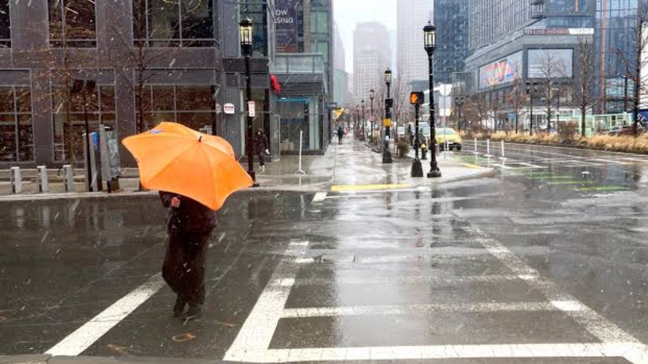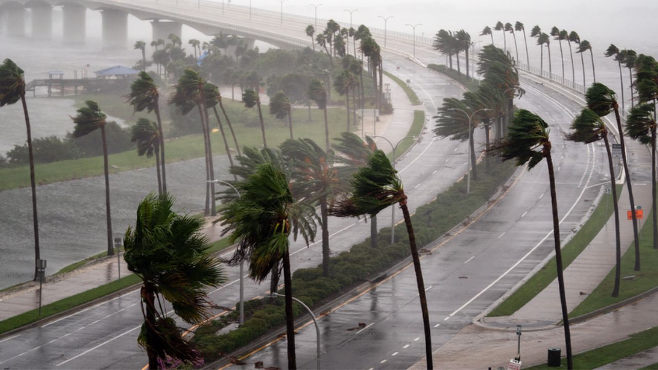
Columbia, South Carolina — Residents across South Carolina, central Georgia and parts of northern Florida are being urged to prepare for another round of dangerous summer weather as severe thunderstorms capable of producing damaging winds, large hail, frequent lightning and torrential rain move across the Southeast.
According to the National Weather Service (NWS), a slow-moving frontal boundary combined with tropical moisture will fuel strong to severe storms throughout Monday afternoon and evening, while dangerous heat continues to grip much of the region.
Forecasters warn that the combination of intense heat and severe weather could create hazardous conditions for travel, outdoor activities and power infrastructure.
Damaging Winds and Hail Are the Biggest Threats
Meteorologists say the primary concern will be straight-line wind gusts reaching up to 60 mph, which are strong enough to knock down trees, damage power lines and cause scattered power outages.
Some storms may also produce quarter-size hail, while isolated areas of north and central Georgia could see even larger hailstones if stronger thunderstorms develop.
Frequent cloud-to-ground lightning is also expected, making outdoor activities particularly dangerous once storms begin to form.
Residents are encouraged to move indoors immediately if thunder is heard, as lightning can strike well ahead of heavy rainfall.
Heavy Rain Could Cause Localized Flooding
Along with damaging winds, storms will be capable of producing intense tropical downpours that may quickly overwhelm drainage systems.
Forecasters say some locations could receive more than an inch of rain in a short period, leading to localized flooding of streets, low-lying areas and poor-drainage locations.
Communities that experience repeated thunderstorms may see a greater risk of flooding as rain continues to fall over the same areas.
Officials remind drivers never to drive through flooded roadways, as water depth can be difficult to judge and vehicles can become stranded within seconds.
Major Travel Corridors Could Be Impacted
Travel conditions may deteriorate rapidly during the afternoon commute as storms develop.
The greatest impacts are expected along portions of Interstate 95 through the Carolinas and Georgia, Interstate 26 between Columbia and Charleston, and Interstate 20 near Augusta and Columbia.
Strong wind gusts could bring down tree limbs and scatter debris across roadways, while sudden heavy rain may reduce visibility to near zero.
Motorists are advised to slow down, use headlights during heavy rain and avoid stopping in active travel lanes unless absolutely necessary.
Heat Index Near 106 Degrees Adds Another Layer of Danger
Before storms develop, much of the Southeast will continue experiencing dangerous heat and humidity.
Parts of Georgia remain under a Heat Advisory, with heat index values expected to climb as high as 106 degrees.
Coastal communities in Georgia and South Carolina are also forecast to experience heat index values exceeding 100 degrees, increasing the risk of heat-related illnesses for anyone spending extended time outdoors.
Officials recommend staying hydrated, taking frequent breaks in shaded or air-conditioned locations and avoiding strenuous outdoor activities during the hottest part of the day.
Storm Pattern Expected to Continue This Week
Forecasters say the stalled weather front responsible for Monday’s storms is expected to linger across the Southeast, meaning additional rounds of afternoon and evening thunderstorms are likely through much of the week.
While some areas of the Carolinas may briefly see slightly drier conditions by midweek, the combination of heat and humidity is expected to persist, allowing storms to redevelop on a daily basis.
Residents are encouraged to monitor local forecasts, enable emergency weather alerts on their mobile devices and be prepared to move indoors quickly whenever severe weather approaches.
Are you seeing storms or dangerous heat in your area today? Share your local conditions and let others know how the weather is affecting your community in the comments below.