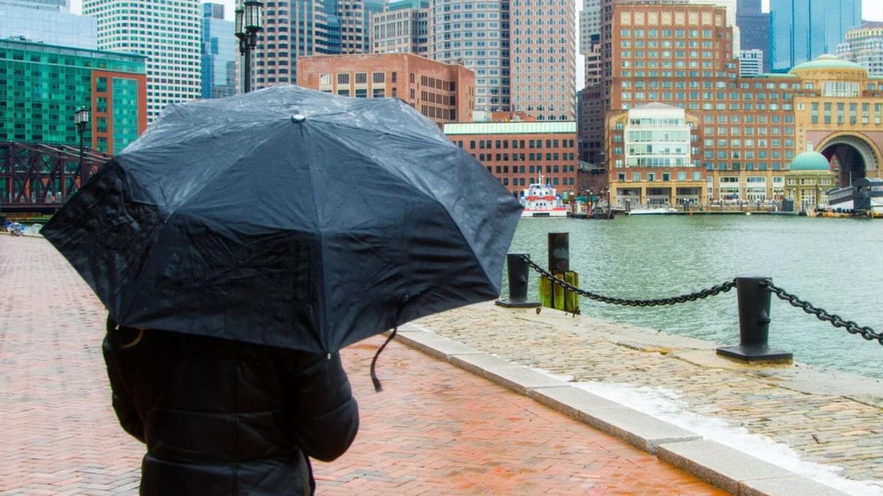
Philadelphia, Pennsylvania — Millions of Americans celebrating Independence Day across the Northeast and Mid-Atlantic may need to keep a close eye on the weather as strong thunderstorms are forecast to develop throughout the July 4 holiday weekend, bringing the threat of damaging winds, heavy rainfall and possible flash flooding.
While the storms are not expected to immediately end the ongoing heat wave gripping the region, meteorologists warn they could interfere with outdoor celebrations, evening fireworks displays and one of the busiest travel weekends of the summer.
Strong Thunderstorms Expected Across Multiple States
Forecasters say a combination of extreme heat, high humidity and unstable atmospheric conditions will fuel thunderstorm development beginning Friday afternoon.
The NOAA Storm Prediction Center has placed a broad corridor stretching from southern Michigan to western Massachusetts and the New Jersey shoreline under a Level 2 out of 5 severe thunderstorm risk.
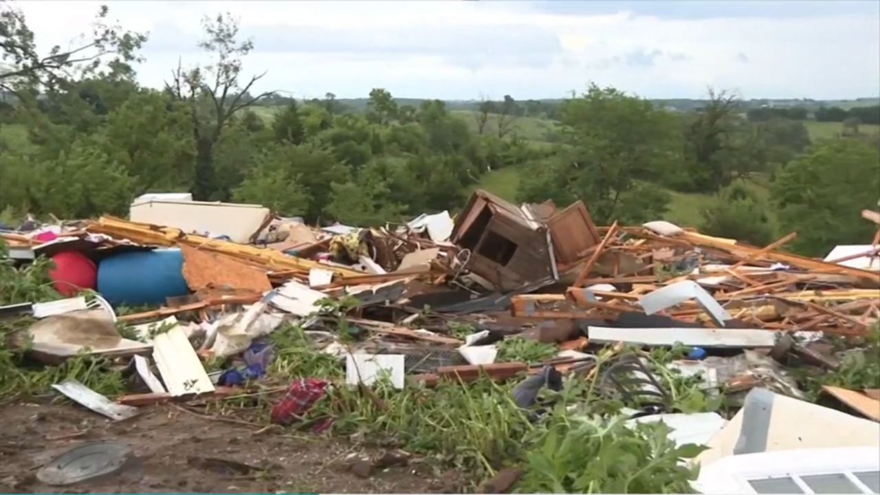
Major metropolitan areas including Detroit, Cleveland, Pittsburgh, Washington, D.C., Philadelphia and New York City could experience strong storms capable of producing damaging wind gusts, which are expected to be the primary hazard.
Although not every community will see severe weather, any storm that develops could quickly become dangerous.
July 4 Fireworks Could Be Interrupted
The storm threat is expected to continue into Independence Day, with another round of thunderstorms likely to develop along the Northeast coast.
Weather officials have issued another Level 2 severe weather risk covering New York City, Philadelphia, Baltimore, Washington, D.C., and Richmond, Virginia, where evening celebrations may be affected.
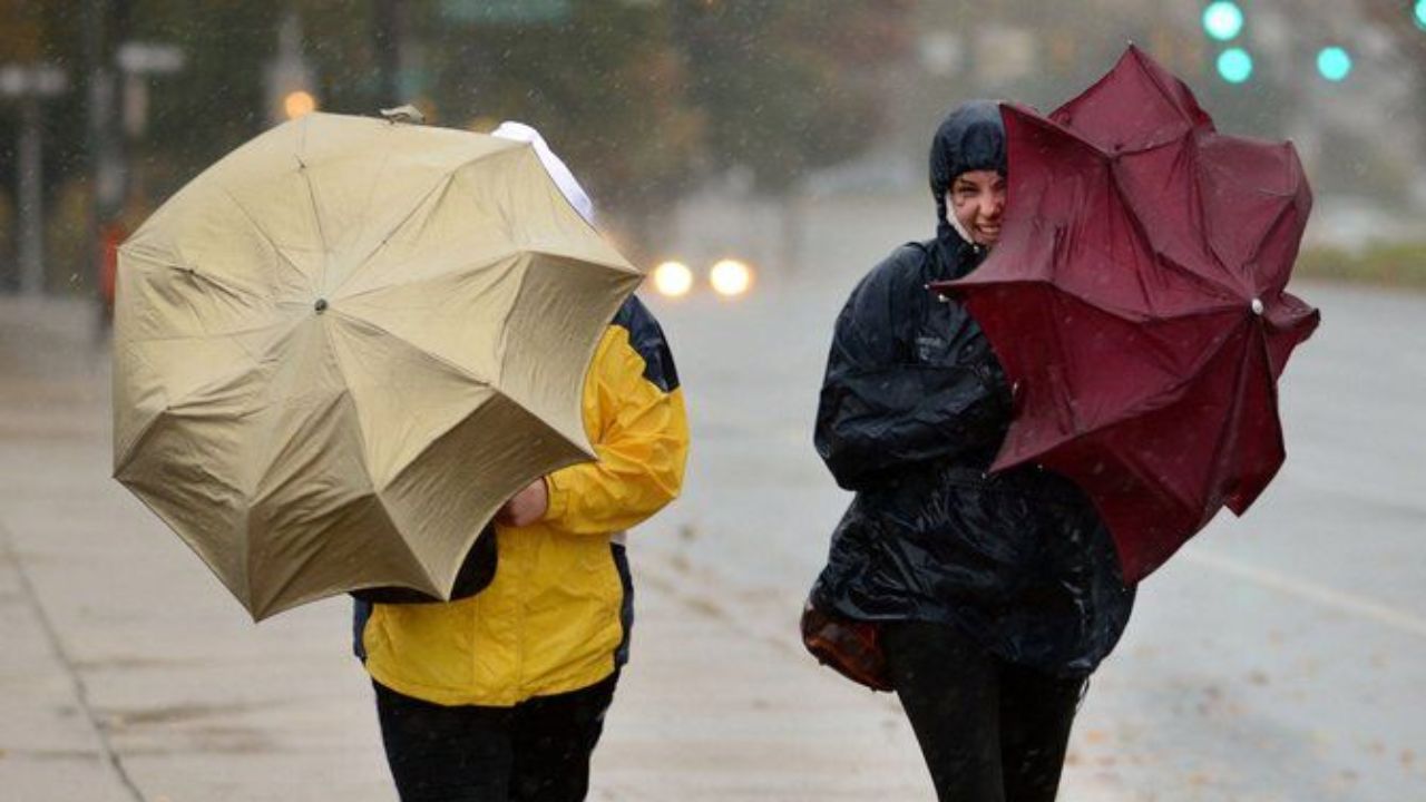
Forecasters warn that some storms could produce damaging downbursts, which are concentrated bursts of straight-line winds capable of exceeding 60 mph. These powerful winds could force delays or cancellations of outdoor events, including America 250 fireworks celebrations, while also creating hazardous conditions for people gathered in parks and public spaces.
Residents planning to attend fireworks displays are encouraged to monitor local weather updates and be prepared for schedule changes if storms develop nearby.
Holiday Travelers Could Face Delays
The unsettled weather may also impact one of the busiest travel periods of the year.
Thunderstorms could cause flight delays at major East Coast airports, while periods of heavy rain and reduced visibility may create difficult driving conditions for motorists heading to holiday destinations.
Officials advise travelers to allow extra time, remain alert for rapidly changing weather and avoid driving through flooded roadways if heavy rain develops.
Heavy Rain and Flash Flooding Possible Early Next Week
The weather pattern is expected to become even more active as the weekend continues.
Meteorologists say the heat dome responsible for the recent stretch of extreme temperatures will gradually shift south, allowing a stronger storm system to develop near the New Jersey coastline by late Sunday into Monday.
Current forecast models suggest the system could bring a widespread 1 to 2 inches of rainfall across parts of the Northeast, with localized totals between 2 and 3 inches possible in eastern Pennsylvania and northern New Jersey.
Forecasters also say the greatest potential for heavy rain currently includes Pennsylvania, New Jersey and New York’s Southern Tier, although the exact track of the system could still change.
Because of the increasing rainfall threat, a Level 2 out of 4 flash flood risk has been issued for portions of southern Pennsylvania, the Delmarva Peninsula and the Philadelphia metropolitan area.
Officials stress that forecast details may continue to evolve over the coming days, and residents across the region should stay informed as updated weather information becomes available.
Are you changing your July 4 plans because of the forecast? Let us know how the weather is affecting your holiday celebrations, and share your plans safely in the comments below.