New York City, New York — City officials are urging residents to prepare for hazardous travel conditions as a powerful storm system is expected to bring heavy rainfall, strong winds, and the potential for localized flooding across the region.
The advisory comes as meteorologists forecast a period of intense rain beginning later in the day and continuing through the overnight hours, creating the possibility of water-covered roads, traffic disruptions, and storm-related hazards.
Officials are encouraging New Yorkers to remain weather-aware and avoid unnecessary travel during the most intense periods of the storm.
Heavy Rain Could Trigger Localized Flooding
According to city officials, rainfall is expected to increase significantly during the evening before continuing overnight.
Forecasts indicate many areas could receive up to 2 inches of rain, while isolated locations may see totals approaching 4 inches if heavier bands of rain develop.
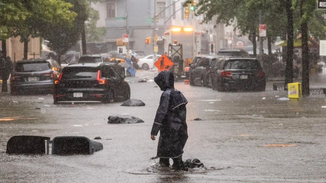
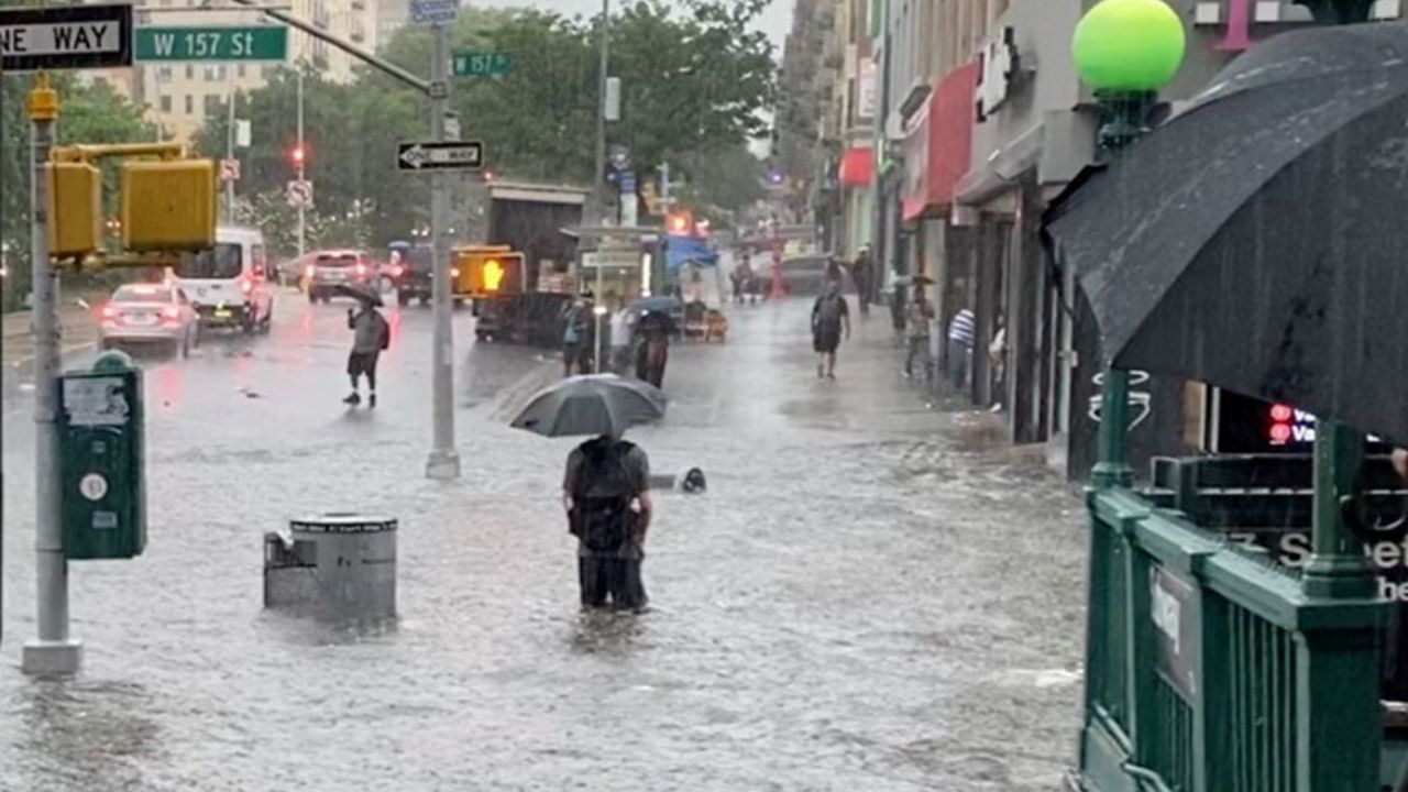
The combination of intense rainfall and already saturated areas could lead to localized flooding, particularly in low-lying neighborhoods and locations with poor drainage.
Flooded streets, underpasses, and roadways could quickly become dangerous for both drivers and pedestrians. Officials emphasized that even small amounts of standing water can create serious problems for motorists.
Strong Winds Expected Along Storm Front
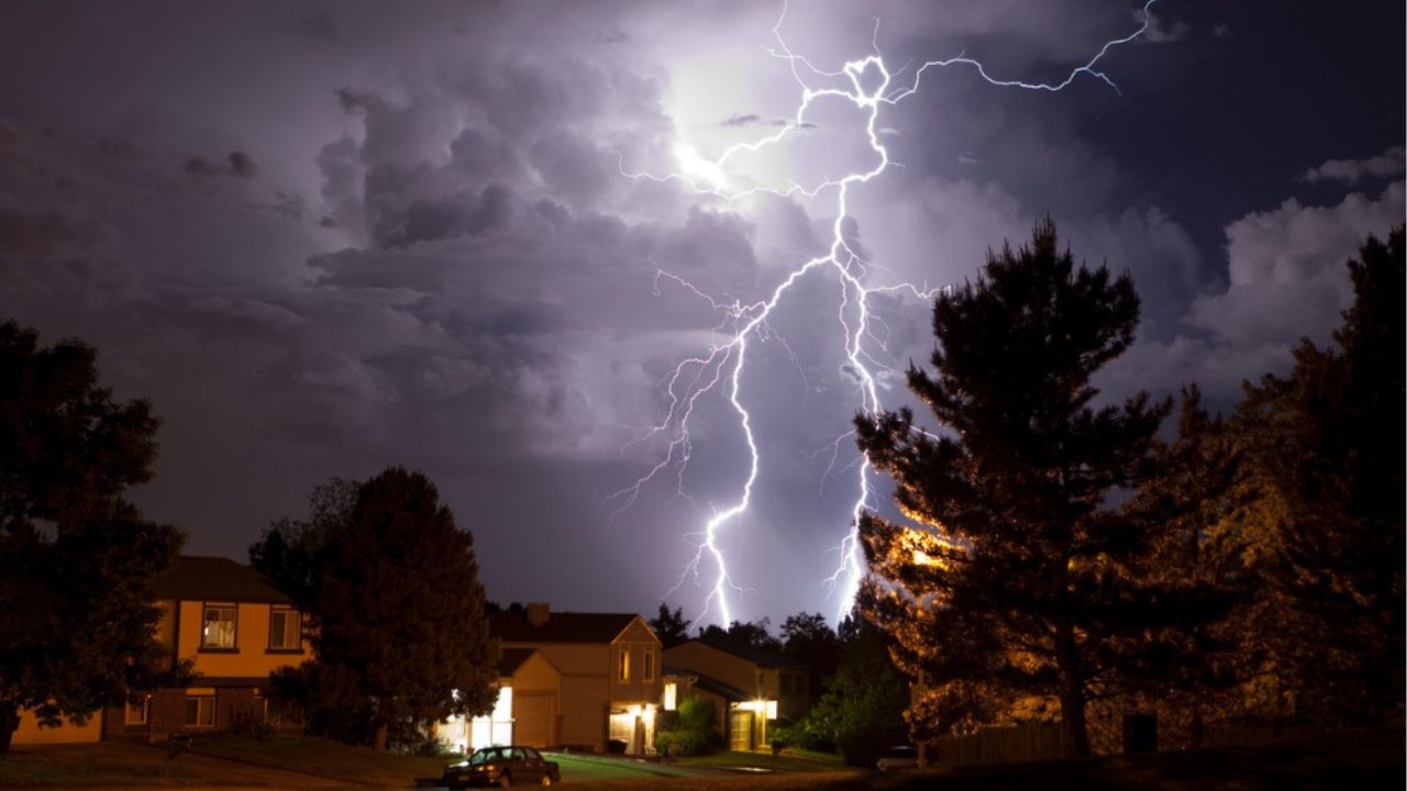
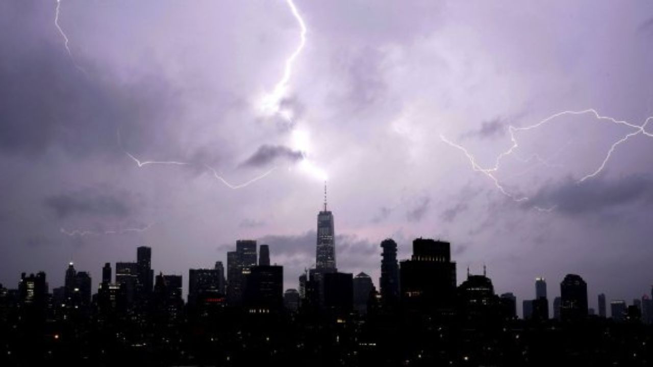
In addition to heavy rainfall, forecasters are monitoring the potential for strong wind gusts accompanying the storm system. Meteorologists say isolated gusts between 40 and 50 miles per hour could develop as storms move through the region.
These winds may be strong enough to bring down tree limbs, cause scattered power outages, and create hazardous driving conditions, especially for larger vehicles.
The combination of heavy rain and strong winds may also reduce visibility during evening and overnight travel. Residents are encouraged to secure outdoor items and remain indoors if severe weather develops in their area.
City Agencies Preparing for Storm Impacts
Ahead of the storm, city agencies have taken several precautionary measures to reduce potential impacts. Officials said crews have cleared catch basins and inspected neighborhoods that are historically prone to flooding.
Emergency response teams have also been placed on standby.
The city’s Downed Tree Task Force is prepared to respond to reports of fallen trees and branches, while the Tow Truck Task Force stands ready to assist stranded motorists if road conditions deteriorate.
These efforts are designed to improve response times and reduce disruptions should severe weather affect transportation networks across the city.
Safety Officials Urge Residents to Use Caution
Emergency management officials are reminding residents to take the storm seriously and avoid common flood-related dangers.\ Drivers are strongly encouraged not to attempt to travel through flooded streets.
Even shallow floodwaters can cause vehicles to stall or become trapped, creating dangerous situations for occupants and first responders.
Residents are also advised to monitor local forecasts, charge electronic devices, and be prepared for possible delays during the evening commute and overnight hours.
Officials said those who wish to receive emergency updates can sign up for city alert systems and monitor local emergency notifications throughout the storm.
Flood Threat Continues Into Overnight Hours
With rainfall expected to intensify after sunset, officials will continue monitoring conditions across the five boroughs and surrounding areas.
While not every neighborhood is expected to experience flooding, the possibility of isolated flash flooding and storm-related disruptions remains elevated.
Residents are encouraged to remain alert, limit unnecessary travel, and follow guidance from local authorities until the storm system moves out of the region.
Are you expecting severe weather in your area? What preparations do you typically make before a major storm or flooding event? Share your thoughts and safety tips in the comments below.