Jackson, Mississippi — Residents across Central Mississippi are being urged to prepare for two very different weather threats over the coming days, as dangerous heat continues through the weekend before a significant increase in rainfall raises concerns about flooding early next week.
Forecasters say hot and humid conditions will remain firmly in place through Saturday, with temperatures climbing into the low and mid-90s. However, the combination of heat and humidity will make it feel much hotter outdoors during the afternoon hours.
Heat Advisory Remains in Effect
A Heat Advisory continues across much of Central Mississippi through Saturday evening as heat index values are expected to range between 105 and 110 degrees.
Weather officials warn that prolonged exposure to these conditions can increase the risk of heat-related illnesses, particularly for older adults, young children, outdoor workers, and anyone participating in strenuous activities.
Residents are encouraged to stay hydrated, limit outdoor activity during peak afternoon hours, and check on vulnerable family members and neighbors.
While temperatures are expected to remain in the 90s through the weekend, the extreme humidity will make conditions feel significantly more uncomfortable.
Mostly Dry Conditions Through Saturday
Despite the intense heat, most communities are expected to remain dry through Saturday.
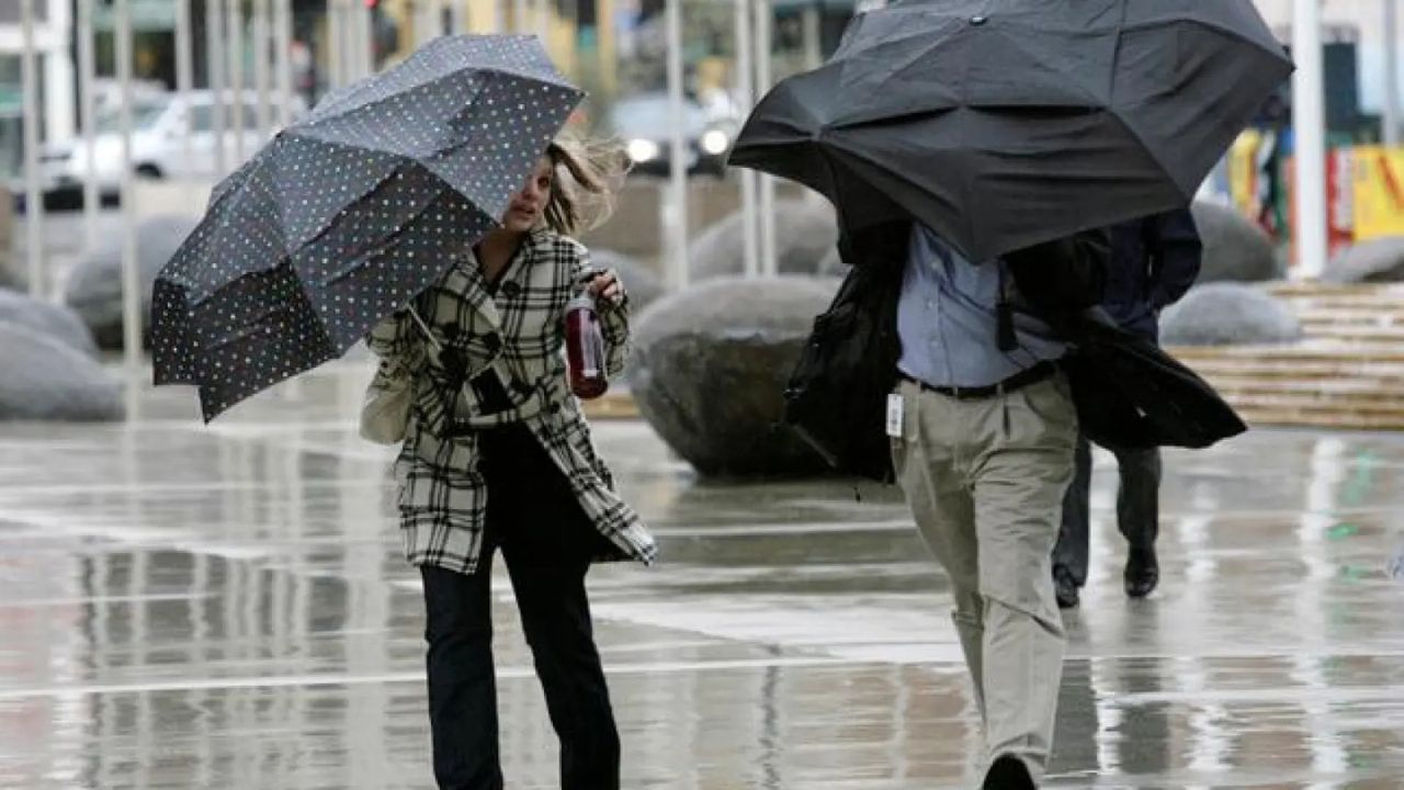
Meteorologists say only a few isolated showers or thunderstorms could develop during the afternoon and evening hours. Any storms that do form are expected to be brief and localized.
The relatively dry pattern will begin to change on Sunday as moisture levels increase across the region.
Scattered showers and thunderstorms are expected to become more common, signaling the beginning of a much wetter weather pattern.
Heavy Rain Threat Increases Early Next Week
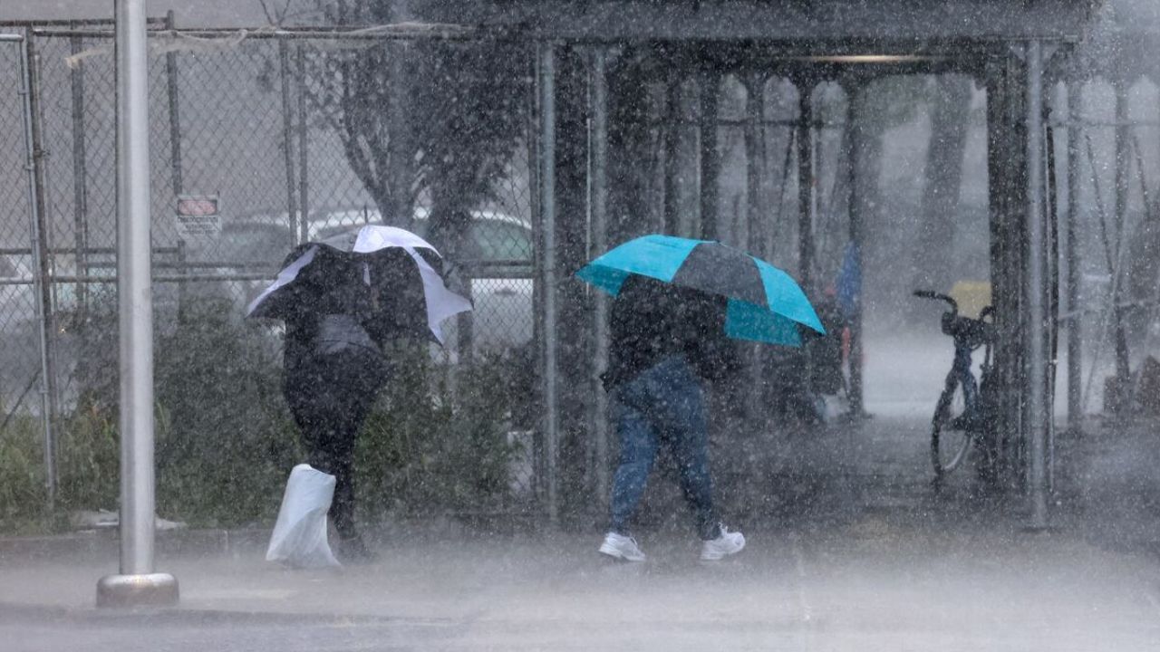
The biggest weather concern is expected to arrive between Monday and Wednesday.
Historic El Niño Could Soak California This Winter as Experts Warn of Major Weather Shift
Forecasters say a stalled frontal boundary combined with an influx of tropical moisture could lead to several rounds of showers and thunderstorms across Central Mississippi.
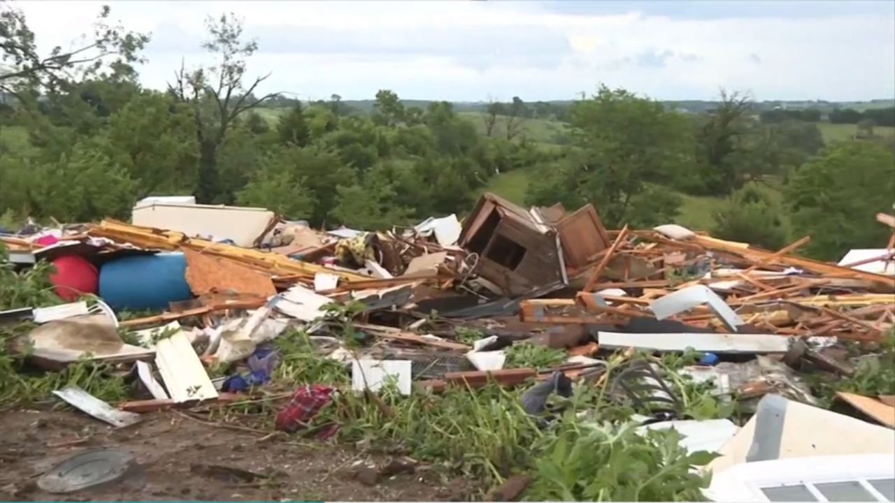
As storms repeatedly move over some of the same areas, rainfall totals may quickly add up, increasing the potential for localized flooding.
Low-lying areas, poor-drainage locations, and places that receive multiple rounds of heavy rainfall could be particularly vulnerable.
While it is still too early to determine exact rainfall amounts for every community, weather officials are closely monitoring the situation and encouraging residents to stay informed of forecast updates.
Temperatures Expected to Cool
One piece of good news is that the increased cloud cover and rainfall should help bring some relief from the recent stretch of extreme heat.
High temperatures are forecast to drop back into the 80s by early next week, providing a noticeable cooldown compared to the current conditions.
Although the cooler temperatures may feel more comfortable, the combination of heavy rain and thunderstorms could create new weather-related challenges across the region.
Tropical System Not Expected to Directly Impact Mississippi
Forecasters are also monitoring a disturbance in the southern Gulf.
At this time, the system has only a low chance of tropical development and is not expected to directly affect Mississippi.
However, tropical moisture associated with the broader weather pattern is expected to contribute to the increased rain chances across the state next week.
Residents are encouraged to keep an eye on local forecasts over the coming days as weather conditions evolve and the potential for heavy rainfall becomes clearer.
Are you preparing for the upcoming rain and storm chances in Mississippi?
Do you think your area could experience flooding if heavy rainfall develops? Share your thoughts and local conditions in the comments below.