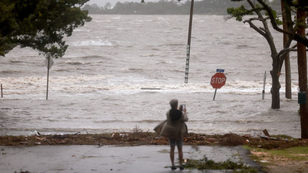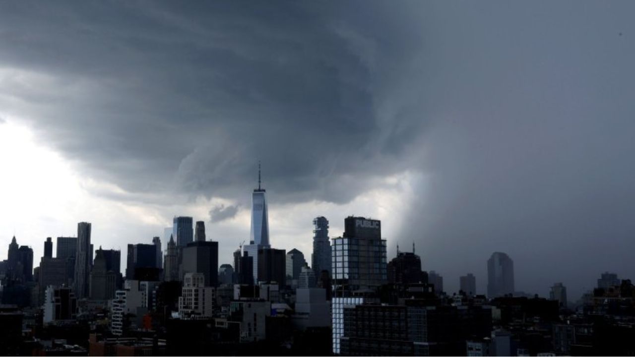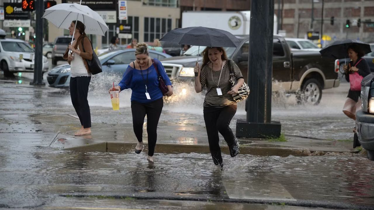
United States — A volatile weather pattern is taking shape across parts of the eastern United States as a new week begins, with heavy rain, thunderstorms and localized flooding expected from portions of the Northeast into the Mid-South.
Forecasters are closely watching a warm front moving through the Mid-Atlantic, bringing increasing moisture and atmospheric instability. The combination could create favorable conditions for repeated showers and thunderstorms, particularly in areas that have already received significant rainfall.
Forecasters are warning that the wet pattern could create problems in areas where the ground is already saturated.
Heavy Rain Could Raise Flash Flood Threat
A low-pressure system moving eastward across Quebec, Canada, is helping drive the unsettled weather pattern. Showers and thunderstorms are expected to continue through Sunday night, with activity extending across northern Pennsylvania.
The region is also expected to remain very humid as moisture continues to feed into the developing storm system.
The biggest concerns are heavy rainfall and thunderstorms, but persistent southwesterly winds could help strengthen some storms and increase the potential for flooding.
High moisture levels will also push into the western slopes of the Appalachian Mountains in West Virginia, where recent rainfall has already left soils saturated.
“High amounts of moisture will also slam into the western sides of the Appalachians in West Virginia.”
Because of the wet conditions, forecasters say even highly localized rainfall could quickly overwhelm drainage systems and produce flash flooding.
West Virginia Faces Highest Flood Risk
The most significant flooding concern is currently focused on the mountains of West Virginia.
A Level 3 out of 4 flash flood threat is in effect there for Monday as rainfall totals continue to increase.
Mountainous terrain can make flooding particularly dangerous because water can rapidly move downhill into streams, roads and low-lying communities. Areas that have already received substantial rain may experience flooding with less additional rainfall than normally required.
Residents in vulnerable locations should pay close attention to local warnings and avoid driving through flooded roads.
Pittsburgh and Mid-Atlantic Cities Also at Risk
The flood threat extends beyond West Virginia.
A Level 2 out of 4 flash flood risk is in place through Monday for areas including Pittsburgh, Philadelphia, Washington, D.C., and Baltimore.
Rainfall totals in these areas could reach approximately 1 to 2 inches, although locally higher amounts may occur where thunderstorms repeatedly move over the same locations.
Urban areas can be especially vulnerable because pavement and other hard surfaces prevent rainfall from quickly soaking into the ground.
Damaging Winds Possible With Strongest Storms
Flooding is not the only concern.
A Level 2 out of 5 severe storm risk is also in place across portions of Tennessee, Kentucky, Virginia and northern North Carolina.
Any stronger thunderstorms that develop could produce damaging wind gusts, with the most intense storms potentially generating winds of 50 to 65 mph.
The approaching cold front will be the main driver behind Monday’s storm activity as it moves toward the East Coast.
Thunderstorms are expected to stretch from portions of the Northeast down toward the Mid-South, creating a broad area of unsettled weather.
Storms Gradually Fade Monday Night
The worst of the weather is expected to occur as the cold front approaches and moves through the region on Monday.
By Monday evening, lingering showers and thunderstorms may continue across parts of the East Coast, but the threat of severe weather should gradually diminish as the system moves away.
Even after the strongest storms fade, residents in areas that receive heavy rainfall should remain alert for standing water, swollen streams and localized flooding.
With saturated ground, strong thunderstorms and several inches of possible rainfall in some locations, the start of the week could be a particularly messy one across parts of the East Coast.
Are you expecting heavy rain or thunderstorms in your area this week? Share your weather plans and thoughts in the comments below.