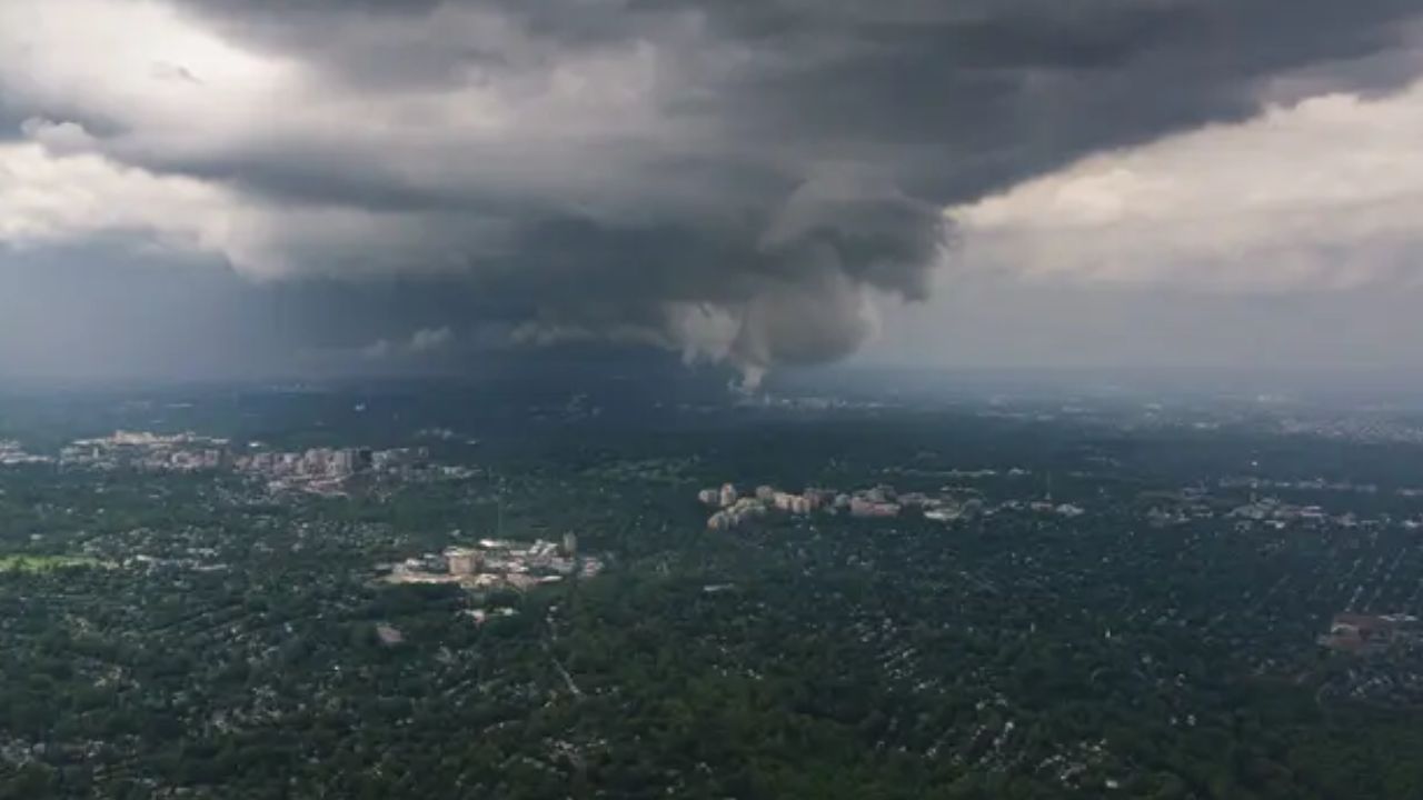
Hershey, Pennsylvania – After several days of active summer weather across the U.S., another round of severe thunderstorms, dangerous heat and heavy rainfall is expected to impact large portions of the Midwest before shifting toward the Northeast next week. Forecasters say the evolving weather pattern could bring damaging winds, large hail, flash flooding and sweltering temperatures, depending on where a powerful heat dome ultimately settles.
Severe Storm Threat Returns to the Upper Midwest
Forecasters are closely monitoring a fresh wave of storms expected to develop across the Upper Midwest beginning Friday and continuing through the weekend. These storms are forecast to produce large hail and damaging wind gusts, with some communities seeing repeated rounds of thunderstorms through the start of next week.
Weather experts say the exact placement of the expanding heat dome remains uncertain. That position will play a major role in determining which areas experience the most dangerous combination of extreme heat and severe thunderstorms.
Heat Dome and Gulf Moisture Create Dangerous Setup
By Sunday, a developing low-pressure system is expected to track along the northern edge of the heat dome near the Great Lakes and the Canadian border. At the same time, rich moisture streaming north from the Gulf will combine with unstable atmospheric conditions.
This setup is expected to create an environment favorable for powerful thunderstorms during the late afternoon and evening hours. Damaging straight-line wind gusts are expected to be the primary hazard, although large hail cannot be ruled out in stronger storms.
Because of the growing threat, a Level 2 out of 5 severe weather risk has been issued for parts of Minnesota, northern Iowa and western Wisconsin on Sunday.
Major Midwest Cities Could See Another Round Monday
The active weather pattern is forecast to continue into Monday as another cluster of storms develops farther east across the Midwest.
Several major metropolitan areas, including Chicago, Detroit, Indianapolis and Cleveland, could experience strong thunderstorms capable of producing gusty winds, torrential rainfall and isolated severe weather. Residents across these cities may want to stay alert for rapidly changing weather conditions as storms move through.
Flash Flooding Risk Increases Across Midwest and Northeast
Beyond severe thunderstorms, flash flooding is becoming another growing concern. Most locations are expected to receive 1 to 2 inches of rainfall, but areas where storms repeatedly move over the same locations could see significantly higher totals.
Repeated heavy downpours may quickly overwhelm drainage systems, especially in low-lying and flood-prone areas.
As the storm system shifts eastward, deep Gulf moisture will spread into the Northeast, increasing rainfall totals and raising flood concerns even further. Communities with already saturated ground will be particularly vulnerable to localized flooding.
Rainy Pattern Expands Into the Northeast
By Tuesday and Wednesday, the storm system is expected to bring another period of widespread rain to portions of the Northeast and Mid-Atlantic, with many areas forecast to receive around 1 to 2 inches of additional rainfall.
Although many East Coast communities have dealt with several rainy weekends recently, weather experts note that much of the region continues to experience ongoing drought conditions. While the upcoming rainfall may provide some drought relief, intense bursts of rain falling in a short period could still trigger localized flooding instead of offering long-term benefits.
As the forecast continues to evolve over the coming days, officials encourage residents across the Midwest and Northeast to monitor local weather updates and prepare for possible severe weather impacts.
Are you expecting storms or extreme heat where you live? Let us know how the weather is changing in your area in the comments below.