Southern California — The Eastern Pacific hurricane season is off to an active start as Hurricane Fausto strengthened into the first hurricane of the season, while the remnants of Elida continue to pose hazards along the Southern California coastline with dangerous rip currents and the possibility of rainfall.
Forecasters say the busy start to the season aligns with the ongoing El Niño climate pattern, which historically supports increased tropical cyclone activity across the Eastern Pacific.
Hurricane Fausto Becomes the First Hurricane of the Season
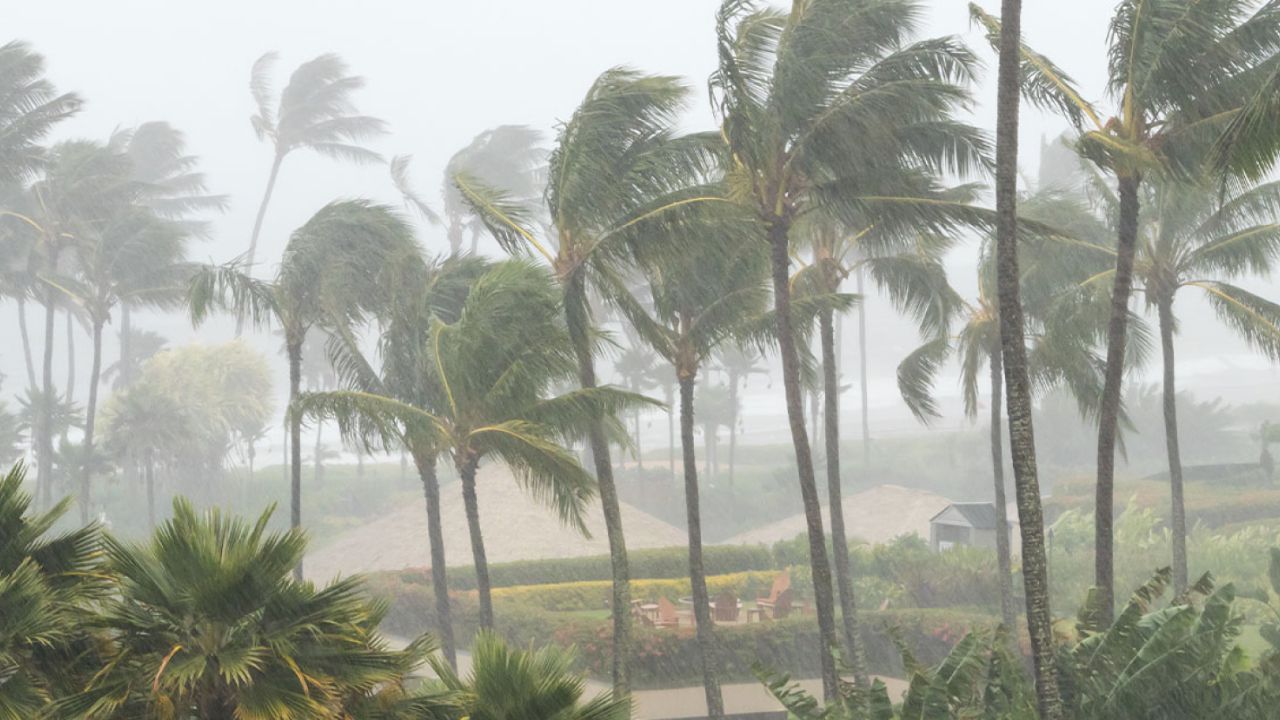
According to the National Hurricane Center (NHC), Fausto intensified into a hurricane Monday night after its sustained winds reached 75 mph, crossing the threshold for hurricane status.
As of the latest advisory, the storm was located approximately 785 miles south-southwest of the southern tip of Baja California.
Meteorologists expect Fausto to continue moving through favorable atmospheric conditions over the next couple of days, allowing it to strengthen further before encountering cooler waters and stronger wind shear later this week.
Currently classified as a Category 1 hurricane, Fausto is forecast to move northwest over the coming days in the general direction of Hawaii, though it is not expected to approach the islands for another eight to ten days.
Elida Continues to Create Dangerous Beach Conditions
While attention has shifted toward Fausto, forecasters are still warning that Elida remains a threat despite losing its tropical characteristics.
The National Hurricane Center said Elida transitioned into a post-tropical cyclone after moving over cooler Pacific waters west of Baja California.
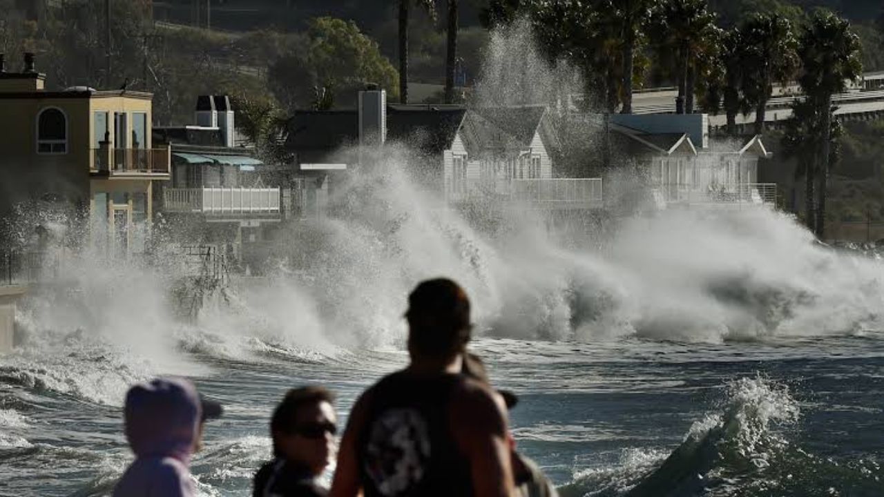
Even so, the system continues to generate life-threatening rip currents along portions of the Southern California coastline, creating hazardous swimming conditions for beachgoers.
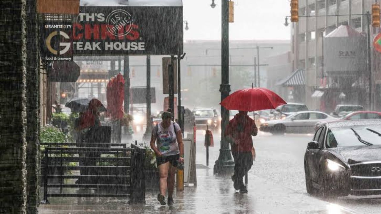
Forecasters also say the storm’s leftover moisture could bring periods of rain to parts of Southern California, although widespread impacts are not currently expected.
Officials continue to urge anyone visiting area beaches to remain cautious and follow guidance from local lifeguards and weather officials.
Another Tropical System Could Develop Soon
The Eastern Pacific may become even more active in the coming days.
The National Hurricane Center is currently monitoring an area of disturbed weather several hundred miles south of Mexico, giving it a medium chance of tropical development over the next seven days.
If the disturbance organizes, it could become the basin’s next named storm as the active pattern continues.
Eastern Pacific Hurricane Season Off to a Fast Start
Weather experts say the basin has already produced six named storms this season: Amanda, Boris, Cristina, Douglas, Elida and Fausto.
Notably, every one of those storms developed earlier than the average climatological formation date, highlighting the unusually active start to the 2026 Eastern Pacific hurricane season.
While Fausto currently poses no immediate threat to land, forecasters stress that tropical systems can evolve quickly, making it important for residents in coastal areas to stay informed as the season progresses.
Are you planning to visit the Southern California coast or travel to the Pacific in the coming days? Do you think this active hurricane season could continue? Share your thoughts in the comments below.